
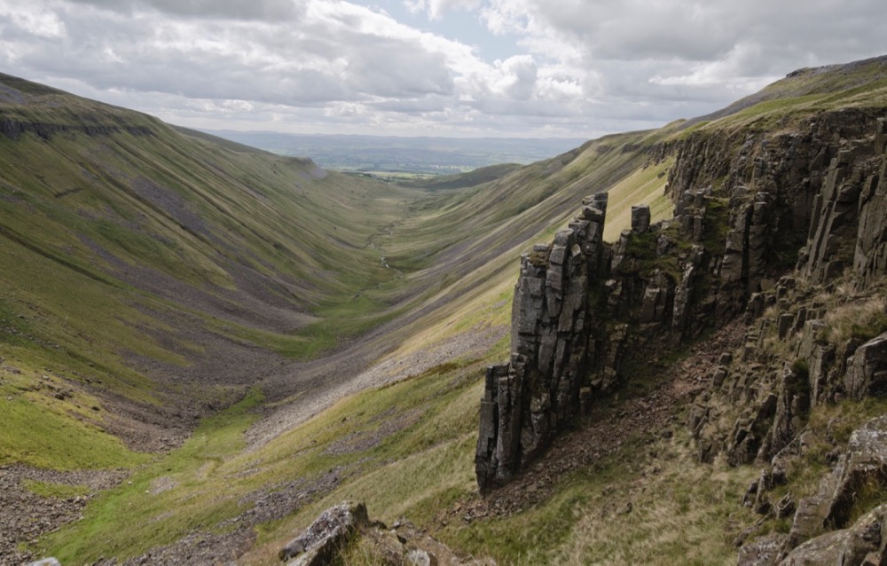
The edge of the Great Whin Sill outcrops in the foreground and continues as the band of cliffs that form High Cup Scar running along each side of the valley.
Map and key for the Great Whin Sill at High Cup Nick


The walk to High Cup Nick from Dufton
Having parked the car at the south-eastern, Town Head, end of Dufton village, we follow the Pennine Way along the lane east past Bow Hall, over the southern flank of Dod Hill, up past the disused limestone quarry with lime kilns at Peeping Hill, and then out on the Narrow Gate path that runs along northern lip of the valley. It’s a popular walk that is relatively easy in good conditions.

The green dashed line indicates the path up to High Cup Nick, the violet horizontal band represents the edge of the Great Whin Sill. The vertical dimension has been exaggerated three fold.
On our way up we enjoy views of Dufton Pike and take time to look back over the broad panorama behind us that takes in the Central Pennines, the Lakeland Fells and the Howgills.

Both hills are made up of Borrowdale ash/tuffs

Beyond Peeping Hill, the grandeur of this place becomes apparent. Space opens up to our right and we enjoy the scale of this impressive glacier-carved U-shaped valley. The ice has gouged out an enormous volume of limestone along with the layer of whinstone that was intruded into it leaving the hard High Cup Scar whinstone cliffs jutting out from the remaining, softer limestone. Remnants of the collapsed sill are seen in the boulders that littering the valley floor, the eroded limestone having been carried away.

The edge of the Great Whin Sill is clearly visible jutting out from the weaker limestone above and below.
High Cup Nick is the gap in the whinstone at the head of the valley through which the High Cup Gill beck flows from the boggy plain above. Nichol Chair, a pinnacle on the north side of the valley head was named, so the story goes, after a local cobbler who practised a bit of ‘extreme cobbling’ on top of it for a bet.
On this occasion, cobbler-free.
Rocks and minerals of the Great Whin Sill at High Cup
The object of celebration at High Cup is the macro-level geology, the glacially created valley with its Whin Sill cliffs and pinnacles, not than the micro-level petrology of its rock. Our two samples reveal a fairy standard fine-grained quartz-dolerite.
The sample from High Cup Scar at NY732252 is very altered with most of the pyroxene having been replaced by brown, iron-rich material, possibly amphibole, that doesn’t show interference colour when viewed with crossed polarising filters.
There is much more biotite in the rock than we tend to see in the Alnwick and Farne Island Sills, although we have seen similar amounts in samples from the Great Whin Sill in Teesdale. The biotite and amphibole appear to be secondary minerals arising out of the alteration of pyroxene. The larger green-brown crystals are less pleochroism than the smaller red-brown crystals. The few, larger pyroxene phenocrysts have been altered to what appears to be a clay, serpentine-like, material surrounded by feldspar. The primary iron-titanium ore appears in very fine grains and also as very fine ilmenite rods that aggregate to form angular, linear structures.
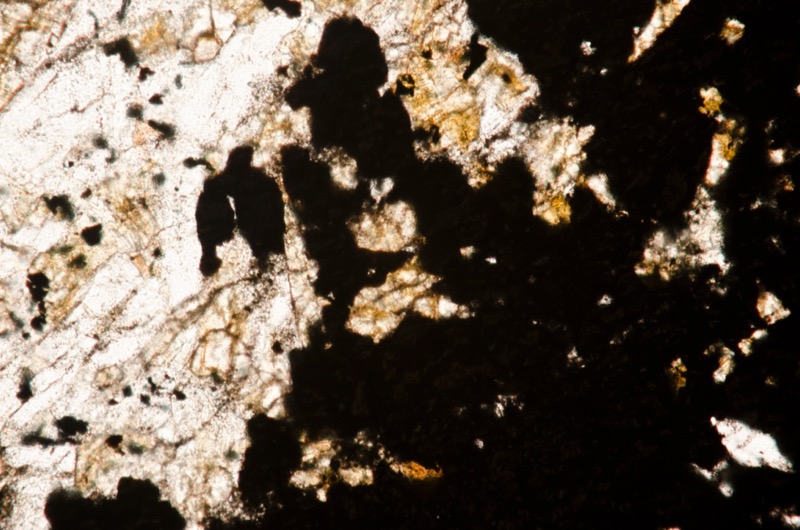
In the sample from High Cup Nick, we see a comparatively large blob of ore that we identify as framboidal iron pyrite.
Specimen 1

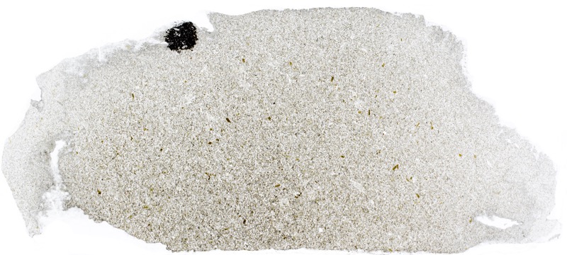
Prepared specimen viewed in plain reflected ligh (48mm across)
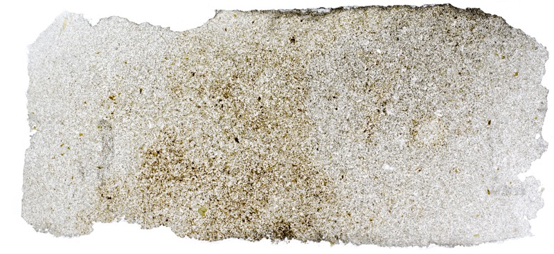
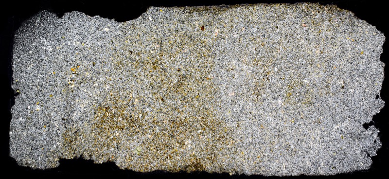
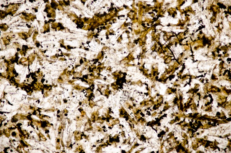
Most of the pyroxene in this sample has been altered, in some areas more than others. Sample viewed in plane polarised light (FoV 2.3 x 1.5 mm)
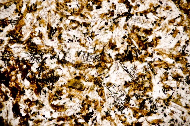
Here the pyroxene is even more altered and shows no interference colours when viewed with crossed polarising filters. Sample viewed in plane polarised light (FoV 2.3 x 1.5 mm)
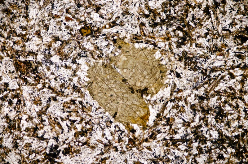
Felspar surrounds a serpentinite-like mineral. Sample viewed in plane polarised light (FoV 2.3 x 1.5 mm)
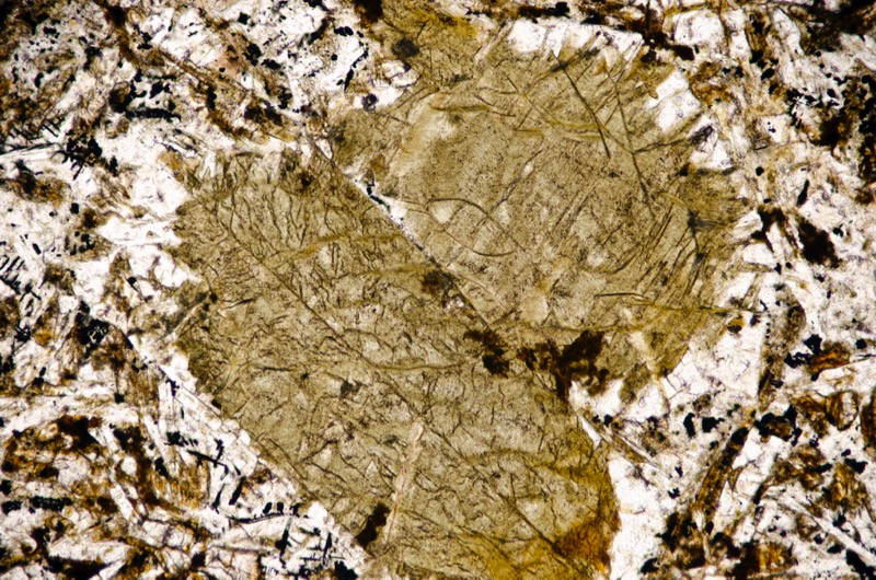
Sample viewed in plane polarised light (FoV 1.2 x 0.8 mm)


Sample viewed in plane polarised light (FoV 0.5 x 0.3 mm)
Specimen 2
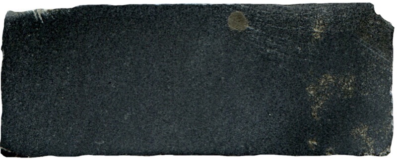
Prepared specimen viewed in plain reflected ligh (48mm across)


The rock contains plagioclase, pyroxene, iron-titanium oxides with apatite and secondary biotite and amphibole. Section viewed in plane polarised light (FoV 4.6 x 3.0 mm)


The biotite shown is only slightly pleochroic but pleochroism is more pronounced on smaller, red-brown crystals. The opaque iron-titanium oxide material appears in very small grains and also as ilmenite in very fine rods that aggregate to form a variety of angular linear structures.


Sample viewed in plane polarised light (FoV 1.2 x 0.8 mm)
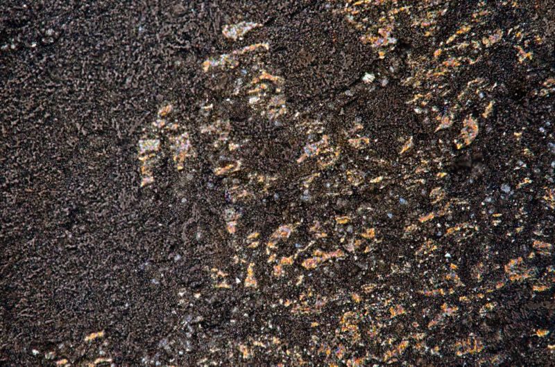
Sample viewed in reflected light (FoV 0.5 x 0.3 mm)


References
British Geological Survey Online geology map http://mapapps.bgs.ac.uk/geologyofbritain/home.html
British Geological Survey Online 3D geology map http://mapapps.bgs.ac.uk/geologyofbritain3d/
Stone, P, Millward, D, Young, B, Merritt, J W, Clarke, S M, McCormac, M and Lawrence, D J D. 2010, British regional geology: Northern England. Fifth edition. Keyworth, Nottingham: British Geological Survey.