
Map and key showing the Alnwick Sill and related dykes


The southern limit of the Alnwick Sill is marked by two sets of dykes; the 80+km long High Green echelon that forms a crescent running west to north-east through High Green, Otterburn, Rothbury, Flamborough and Hampeth to Boulmer on the coast, and the St. Oswald’s Chapel echelon that includes the Haltwhistle, Erring Burn, Bavington and Causey Park dykes. The latter set has been widely held to mark the northern limit of the Great Whin Sill, but following the Survey’s recent observation that, ‘the High Green and St. Oswald’s Chapel dyke subswarms have similar palaeomagnetic signatures to the Alnwick Sill,’ it seems better to include at least the Causey Park dyke here.
The sill is exposed at localities just south of Alnwick, at Longhoughton Quarry and, most extensively, on the coast around Cullernose Point, Craster and Dunstanburgh. The dyke at Snook Point at the north end of Football Hole, Newton-by-the-Sea is the most northerly outcrop associated with the intrusion.
Location 1. The Alnwick Sill at Cushat Shiel, Dunstanburgh

The walk north from Craster with its car park and visitor amenities along the path at the field edge to Dunstanburgh Castle is understandably, a popular one. This part of the Northumbrian coast is a delight. The Alnwick Sill forms the coastal erosional surface all the way up the coast here as well as the hill and cliffs upon which the 14th century castle stands. We follow the path to the the point where, after a farm gate, it takes a turn inland up to the castle. We turn right, down to the bolder-strewn promontory, Cushat Shiel where the usual medium-grained, dark grey quartz dolerite contains numerous veins and pods of red-pink felsitic rock. These pods, quite plentiful in this locality but quite rare in the Whin Sill Complex as a whole, provide evidence of the changed composition of the magma in its final stage of crystallisation.
Petrology and petrography of whinstone at Cushat Shiel
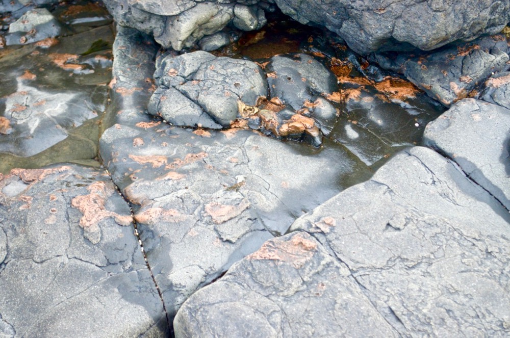

The pods are red because of the many fine particles of haematite distributed throughout the rock but particularly in the potassium feldspar that, along with plagioclase, makes up most of its bulk. Under the microscope, it has a distinctive appearance with, in two dimensions, rosettes of potassium feldspar surrounded by broken crystals of plagioclase. We make two thin sections from our sample; one vertical through the pod material and the more basic dolerite, and one horizontal along the plane of the contact.
Vertical section from sample
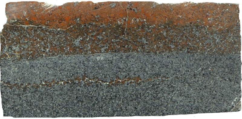
Prepared specimen of vertical section viewed in plain reflected light (42mm across)

(41mm across)
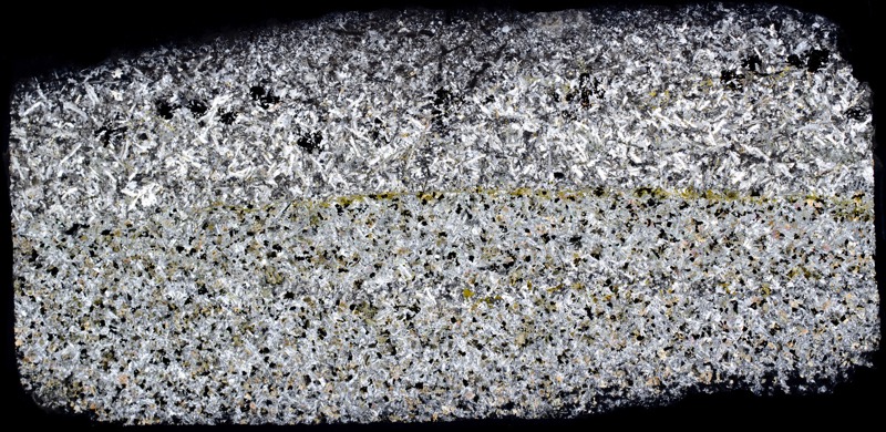
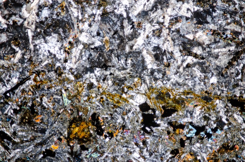
The more felsic material in our vertical section lies on top of the normal whinstone and reveals the layered nature of the transition from one to the other.
In the first layer, the more felsic material appears in a few fine strands amongst the normal whinstone, the second layer is more of an equal mix of the two varieties, each being easily distinguishable, the third layer is almost wholly the more felsic material with a few patches of dark whinstone that clear further from the boundary.
The most striking difference between the two materials is the absence of large iron-titanium oxide crystals in the more felsic material along with a reduced amount of pyroxene. Some large iron-titanium crystals do appear in the felsic material in the transition zone but there are none in the material beyond the zone.
There are interesting micrographic textures at the borders of the patches of potassium feldspar. The low relief and interference colour suggests this must be a perthitic texture resulting from the exsolution of the two feldspar types rather than a texture involving quartz – there is no obvious quartz in our sample.
Patches of carbonate and chlorite evidence some alteration in the more felsic material.
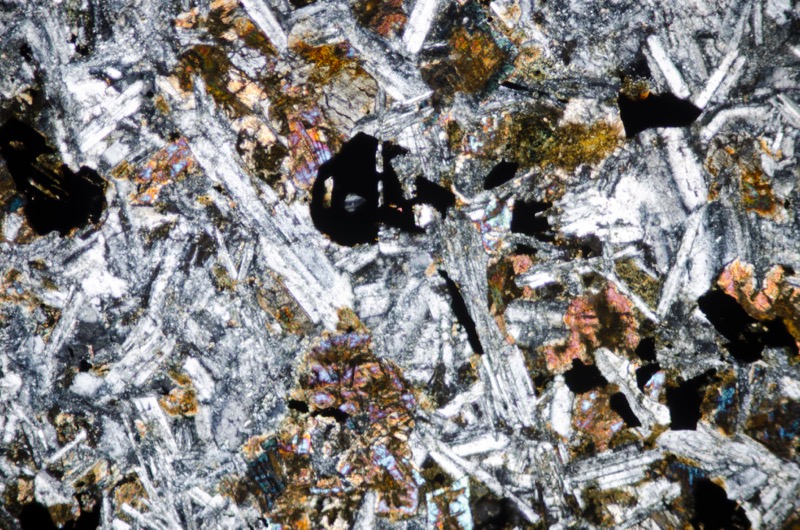
Section viewed with crossed polarising filters (FoV 2.3 x 1.5 mm)
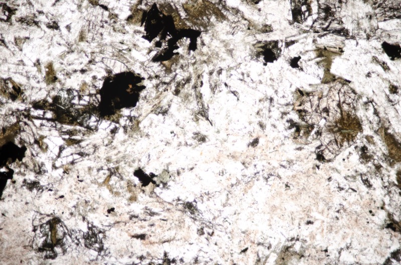
Section viewed in plane polarised light (FoV 2.3 x 1.5 mm)
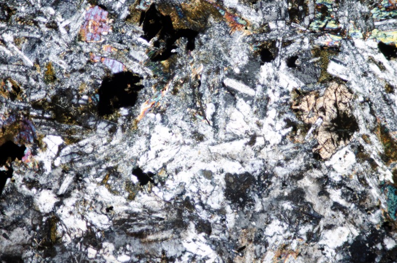
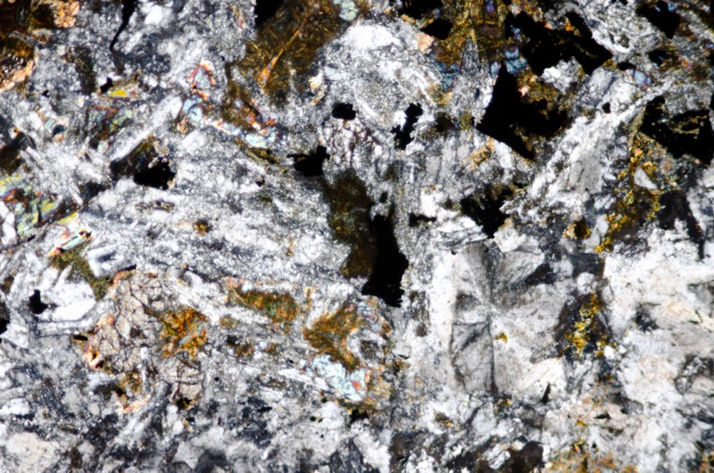
Section viewed with crossed polarising filters (FoV 2.3 x 1.5 mm)
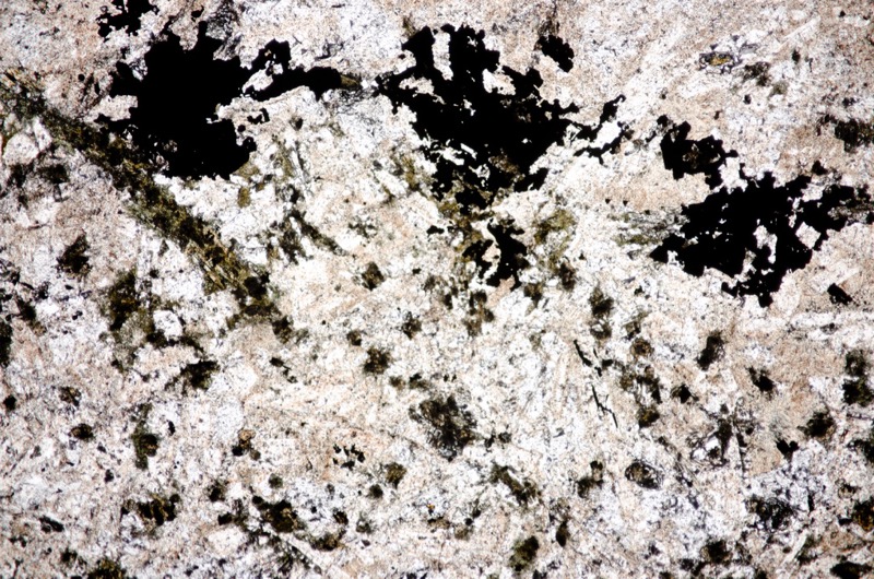
Section viewed in plane polarised light (FoV 4.6 x 3.0 mm)

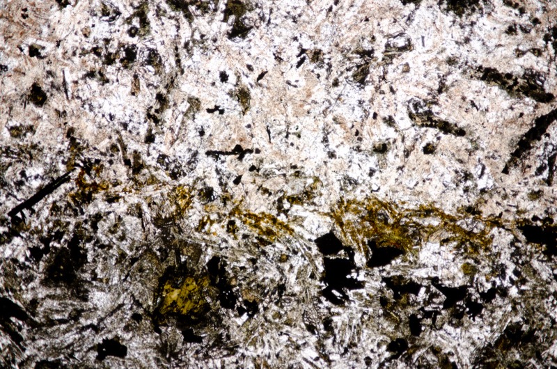
Section viewed in plane polarised light (FoV 4.6 x 3.0 mm)
Horizontal section from sample

Prepared specimen of horizontal section viewed in plain reflected light (48mm across)
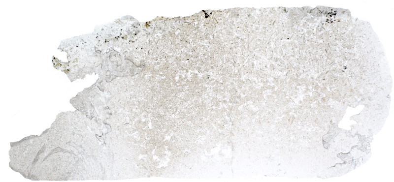
(41mm across)
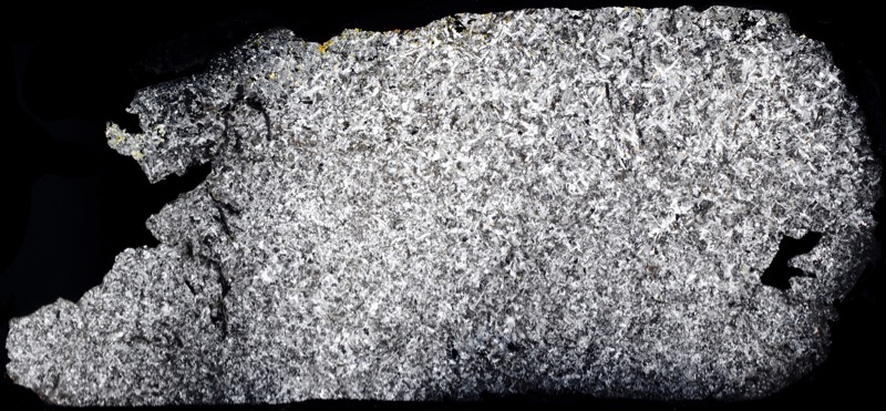
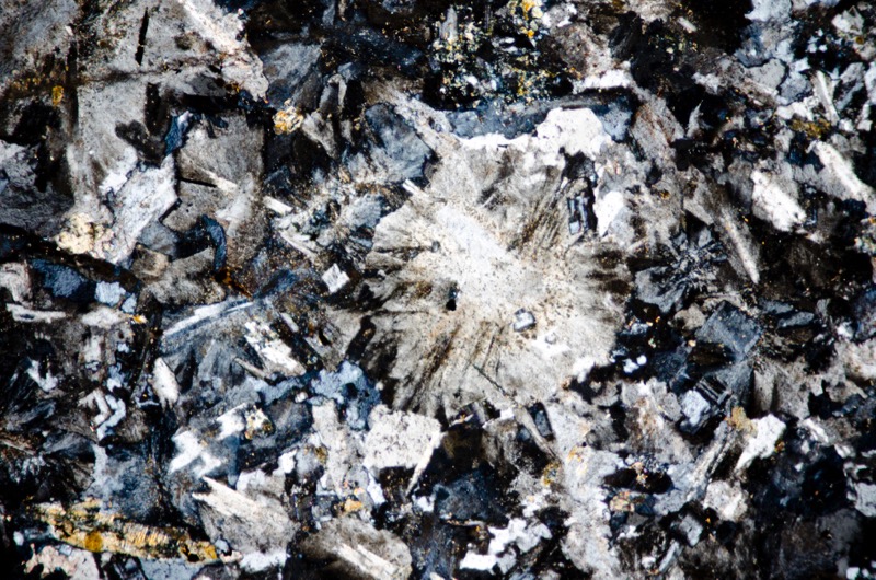
Viewed with crossed polarising filters (FoV 2.3 x 1.5 mm)
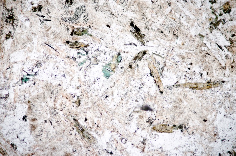
Section viewed in plane polarised light (FoV 2.3 x 1.5 mm)
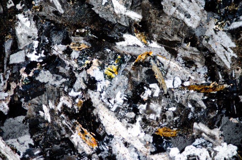
Section viewed in plane polarised light (FoV 0.5 x 0.3 mm)
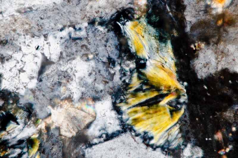
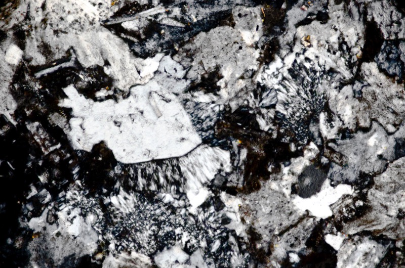
Viewed with crossed polarising filters (FoV 1.2 x 0.8 mm)
Location 2. The Alnwick Sill at Longhoughton Quarry

There are two quarries at Longhoughton, one to the west of the quarry entrance and one to the east. The west quarry is currently active with a permit to extract whinstone and limestone until 2024 and site restoration due in 2025. However, the rate of extraction has been higher than was originally estimated making it likely that reserves of available rock will be exhausted by the end of this year or in 2020 at the latest. The quarry at the east end is currently disused and landscaped so as to make an attractive lake with lakeside and woodland footpaths that are open to the public. However, Northumberland Estates are now seeking to prolong quarrying in Longhoughton until 2028 by draining the lake and extending the old workings down by another 30 metres and eastwards by 90 metres.
The Estates argue that the extension will continue to provide work for the 20 or so quarry staff as well as supporting, ‘…the local construction industry through provision of locally sourced materials of a type vital to important projects such as the potential dualing of the A1, which would otherwise be sourced from outside of the area.’
On completion, the lake and the environment around the east quarry would be restored resulting in both quarries being landscaped public spaces.
The current plans were presented to the public in March 2018 but despite assurances that preparations and subsequent workings will not further adversely affect the public on account of flooding, air quality, noise, traffic, or lasting damage to the ecology or aesthetic quality of the area, there is continuing local opposition.
Part of the working western quarry that is not open to the public is a designated Geological Conservation Review (GCR) site on account of the rafts of baked sedimentary rocks included in the upper part of the sill and the baked sedimentary rocks that lie on top, both proving the sill intrusive nature.
The relationship of the sill to movement on the Longhoughton Fault is also of special interest.
Petrology and petrography of the Alnwick Sill at Longhoughton Quarry
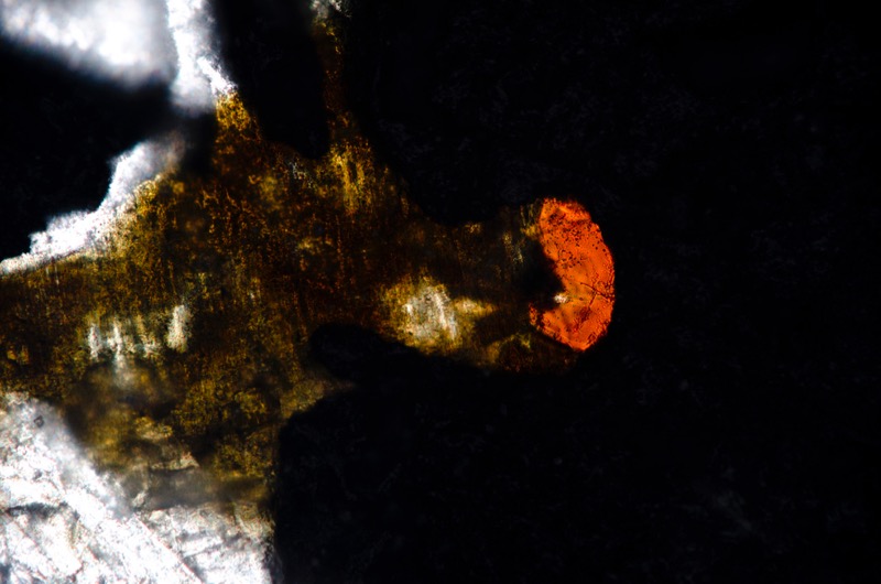
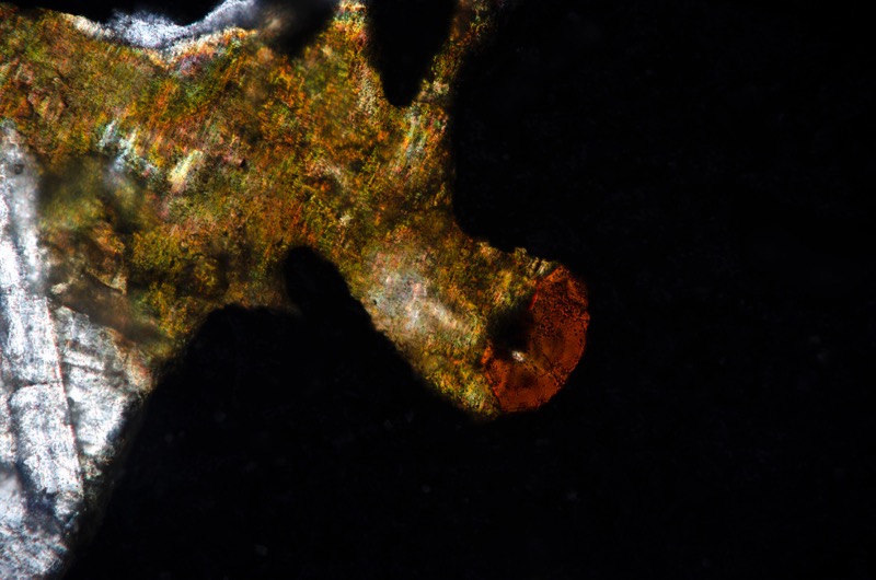
Our sample is a medium-grained quartz dolerite, rich in iron-titanium ore with both orthopyroxene and clinopyroxene together with plagioclase laths.The numerous iron-titanium crystals are quite large and, more often than not, skeletal. One grain has an embayment with a patch of orange-red material that is pleochroic from orange to red which we think may be rutile.

Prepared specimen viewed in plain reflected light (46mm across)
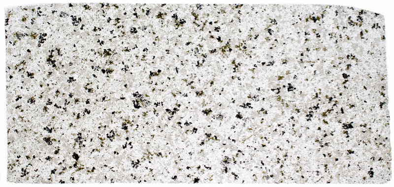
(45mm across)
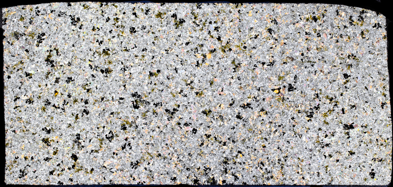
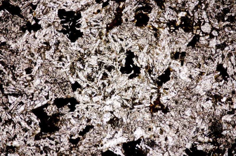
Section viewed in plane polarised light (FoV 4.6 x 3.0mm)

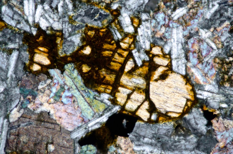
Section viewed with crossed polarising filters (FoV 1.2 x 0.8 mm)
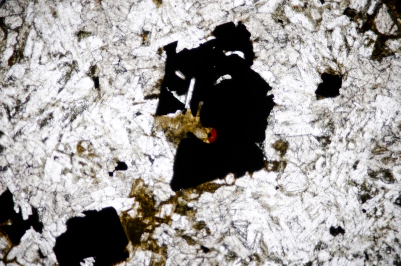
Section viewed in plane polarised light (FoV 2.3 x 1.5 mm)
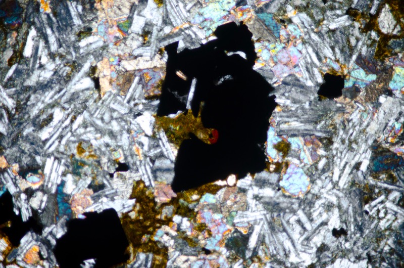
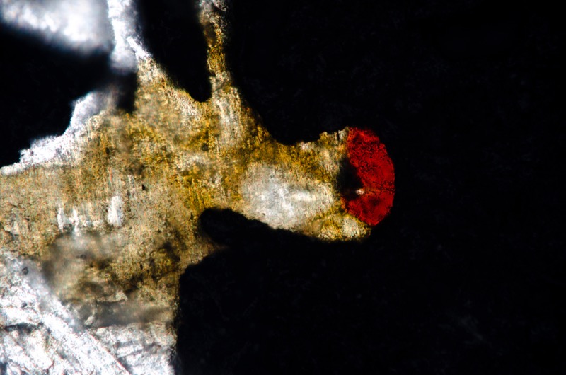
We wonder if the orange-red mineral is rutile although the colour is more like haematite. Section viewed in plane polarised light (FoV 0.5 x 0.3 mm)
Section viewed in plane polarised light with the polariser rotated to show the pleochroism in both the orange-red mineral and in the yellow-brown (FoV 0.5 x 0.3 mm)
Location 3. The Alnwick Sill at Rugely Wood, Alnwick

Looking north-west towards the culvert the base of the disused railway embankment. The sill outcrops in the west bank of the burn
The Alnwick Sill is visible in a small exposure in the west bank of the Rugely Burn. We park out of the way in a cutting near the Rugely Burn ford and take the public footpath up to and through the tunnel below the disused railway. We then cut down to the burn and after a little scouting around, find an exposure next to the culvert that runs under the embankment. The rock is iron-stained and weak in places.
Petrology and petrography of the Alnwick Sill at Rugely Wood
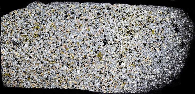
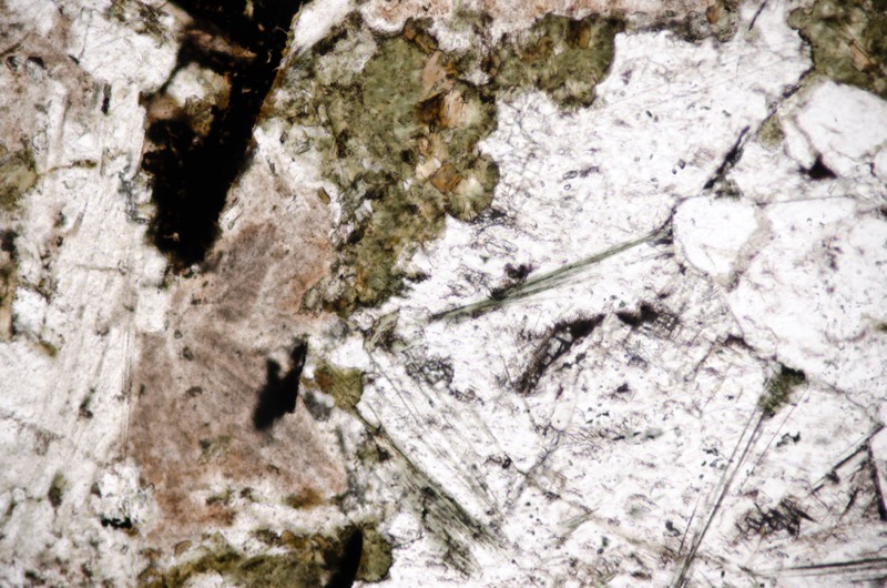
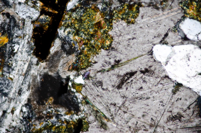
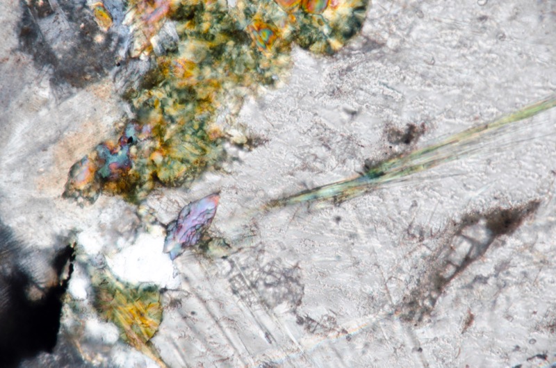
Our sample of the Alnwick Sill at Rugely Wood reveals a fairly typical medium grained quartz dolerite in keeping with that from other locations that we have sampled. We find just one larger plagioclase crystal and one amygdale that contains calcite and quartz together with a number of minerals that we are less confident in identifying. There is a light yellow-brown to dark-brown pleochroic mineral – biotite, a pale green to darker green, high relief mineral that, in the context of high calcium levels might well be epidote, and a green pleochroic mineral in acicular crystals that puzzles us.
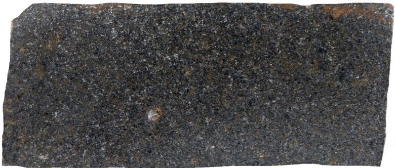
Prepared specimen viewed in plain reflected ligh (45mm across)
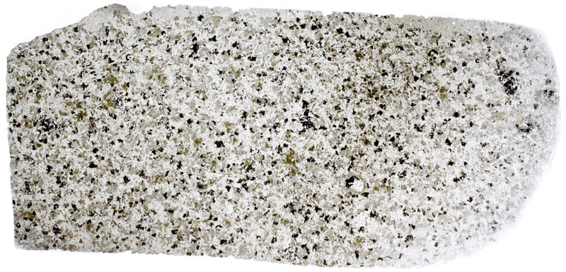

Section viewed in plane polarised light (FoV 4.6 x 3.0mm)
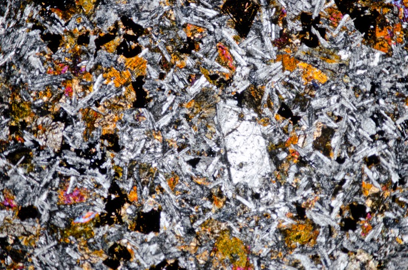
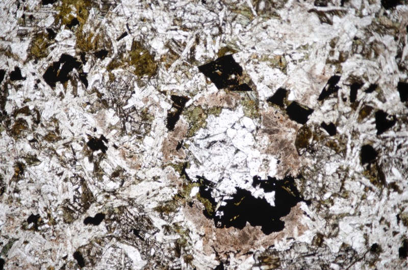
Section viewed in plane polarised light (FoV 4.6 x 3.0mm)
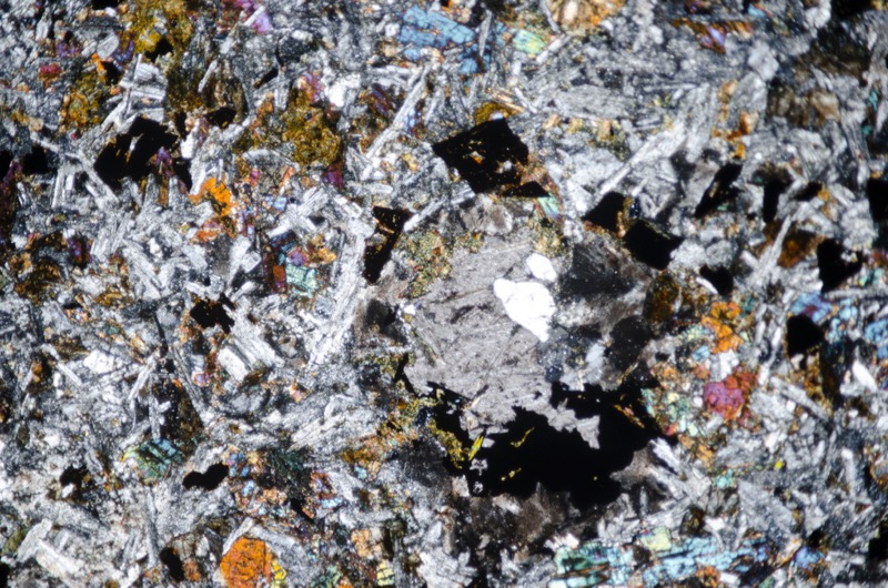
Section viewed in plane polarised light (FoV 1.2 x 0.8 mm
Location 4. The Alnwick Sill-related dyke at Hampeth Quarry

Looking west along the length of the quarry towards the end wall
The quartz dolerite dyke at Hampeth is part of High Green echelon. It was intruded above the Oxford Limestone along a pre-existing fault and has been quarried either side of the Hampeth Burn that runs between the western and eastern sections. There is no sign of the dyke in the stream itself. Our sample was taken from the north wall of of the western quarry.
Petrology and petrography of whinstone at Hampeth quarry
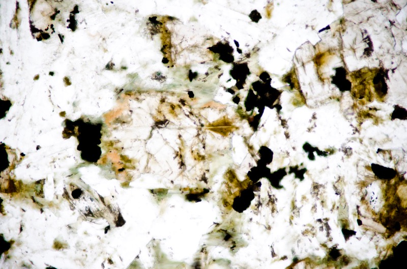
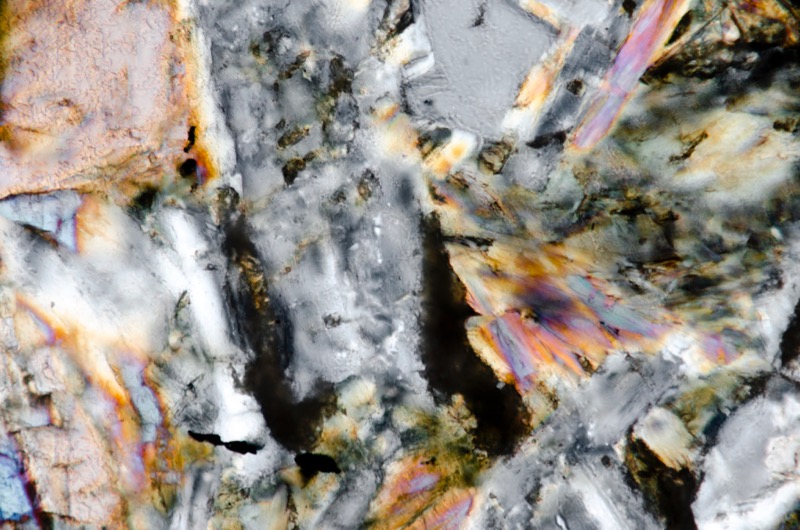
The rock in our sample is a medium-grained whinstone, rich in iron-titanium ore with two generations of augite: uniaxial enstatite and the normal more aluminous sort.
Brown augite, some as poorly formed crystals and some as twinned columnar ones often appear in patches often including plagioclase.
The feldspar laths have the composition of labradorite. The mesostasis has been reported as, ‘composed of alkali felspar and relatively abundant free quartz’ and is rich in apatite.
Where this is in contact with pyroxenes there is development of minute flakes of biotite and subordinate hornblende.’ We also see small patches of secondary calcite, amphibole and chlorite.
Holmes remarked on the degree of local hydrothermal alteration of this and other dykes in the High Green echelon compared to other dykes in the Whin Sill complex and H.H. Thomas noted the albitisation of the feldspar in this dyke. Certainly, the plagioclase in our sample has been sericitised and, in places, its twinning has been eliminated suggesting its alteration towards albite.
The numerous iron-titanium crystals are often skeletal.
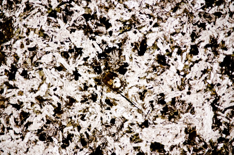
Section viewed in plane polarised light (FoV 4.6 x 3.0mm)
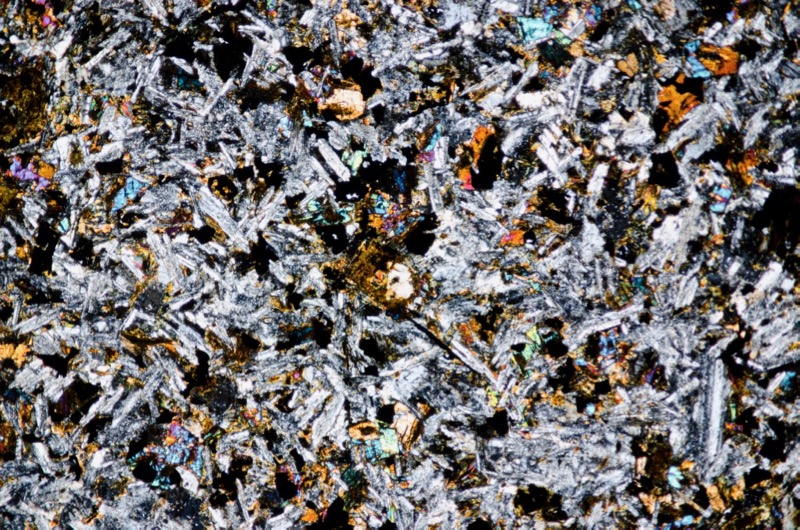
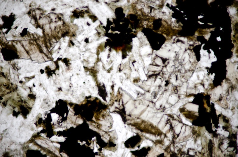
Section viewed in plane polarised light (FoV 1.2 x 0.8 mm)
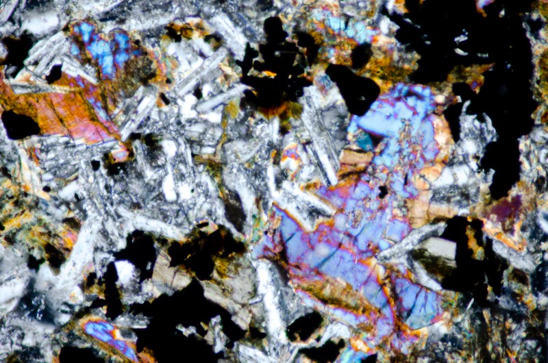
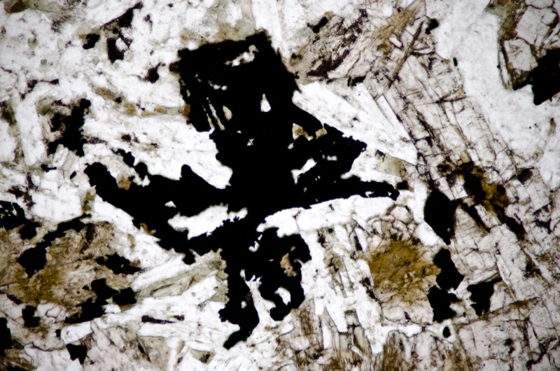
Section viewed in plane polarised light (FoV 1.2 x 0.8 mm)
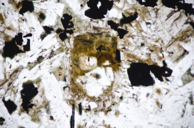
Section viewed in plane polarised light (FoV 1.2 x 0.8 mm)
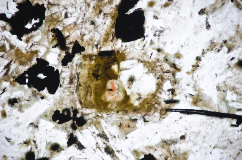
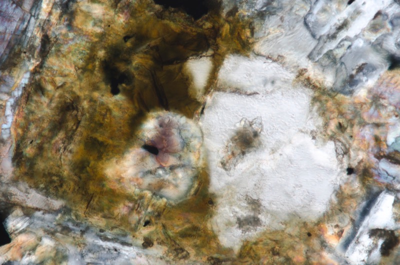
Section viewed with crossed polarising filters (FoV 0.5 x 0.3 mm)
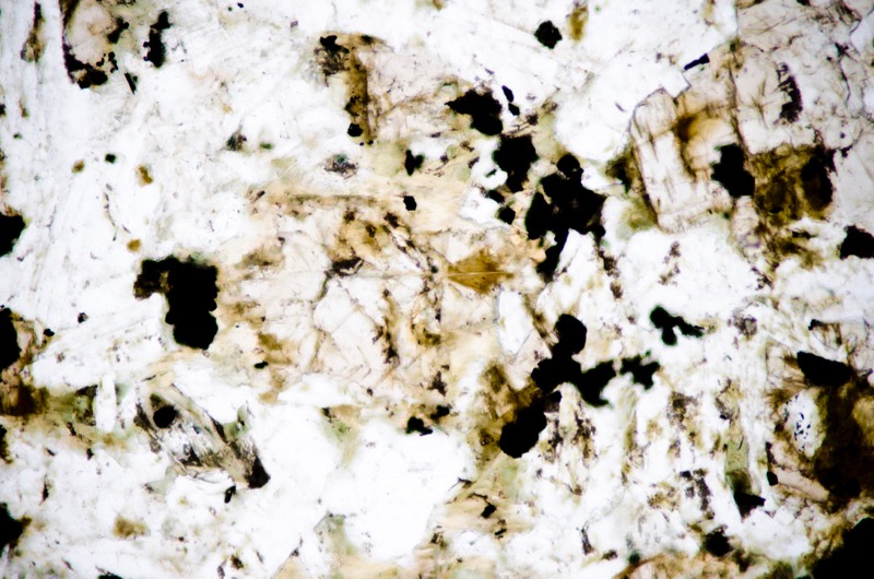
Section viewed in plane polarised light (FoV 1.2 x 0.8 mm)

Section viewed with crossed polarising filters (FoV 1.2 x 0.8 mm)

Section viewed in plane polarised light (FoV 1.2 x 0.8 mm)
References
P. Stone, D. Millward, B. Young, J W. Merritt, S M. Clarke, M. McCormac, and D J D. Lawrence, 2010, British regional geology: Northern England. Fifth edition. Keyworth, Nottingham: British Geological Survey.
R.G.Carruthers, G.A. Burnett & W. Anderson, 1930, The geology of the Alnwick district. Explanation of sheet 6, Geological Survey of Great Britain, HMSO. London.
G. A. L. Johnson and K. C. Dunha. 2001, Emplacement of the Great Whin Dolerite Complex and the Little Whin Sill in relation to the structure of northern England. Proceedings of the Yorkshire Geological Society, Vol. 53, Part 3, pp. 177-186.
Longhoughton Quarry Extension Plans, Northumberland Estates, 2018
http://www.northumberlandestates.co.uk/news/longhoughton-quarry-extension-plans/