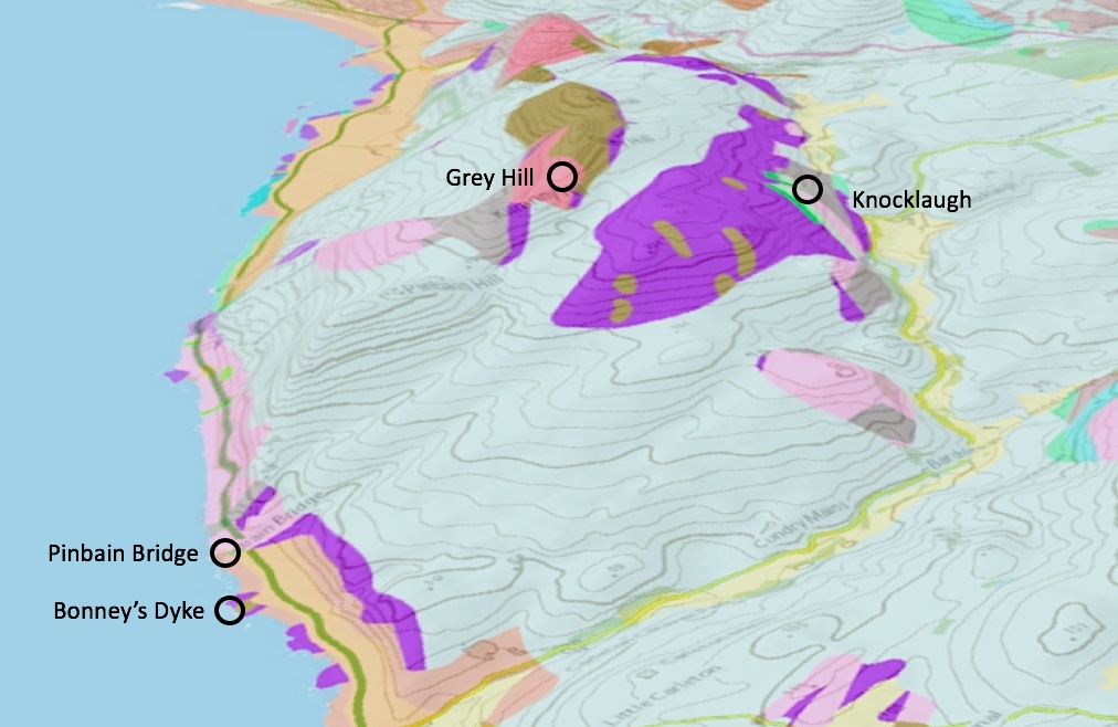
3D map the Northern Area of the Ballantrae Ophiolite Complex
The vertical height is exaggerated x5
Bonney’s Dyke Gabbro
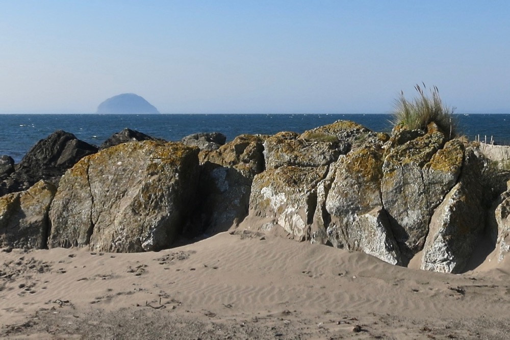
The rocks of the Ballantrae Igneous Complex were once thought to be strata showing ‘arrested stages of metamorphic action’ but by 1880, T.G. Bonney had drawn on an understanding of the rocks in the Lizard peninsula in Cornwall and argued for their igneous origins. In 1932, to mark that contribution, the geologist D. Basillie named this outcropping slab of gabbro, ‘Bonney’s Dyke’.
Map of Bonney’s dyke


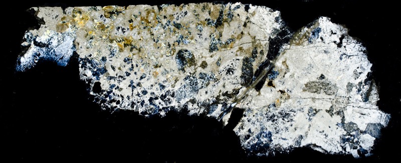
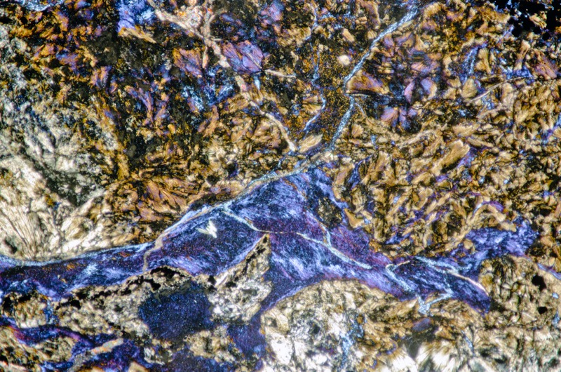
It is more of a sill than a dyke, thicker at its eastern end and thinning to the west where it has been sectioned by many faults and shifted to the south west. The rock comprises a very coarse gabbro pegmatite of altered pyroxene and feldspar that has been mostly altered to calcium-rich, white to green prehnite that appears in fan-like crystals under the microscope with crossed polarising filters, and colourless to grey pectolite that shows good relief and up to second order interference colours with crossed polars. The margins of the sill are chilled against the surrounding serpentinite with the northern one being said to contain green hydrogrossular garnets and pieces of serpentinite.
The serpentinite in contact with the south of the rock reportedly contains large pyroxene crystals and, to the north, visible only at low tide, norite – a gabbro-like rock composed predominantly of orthopyroxenes that are here enclosed in plagioclase.
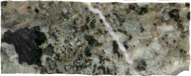
Prepared specimen viewed in reflected light (50mm across)
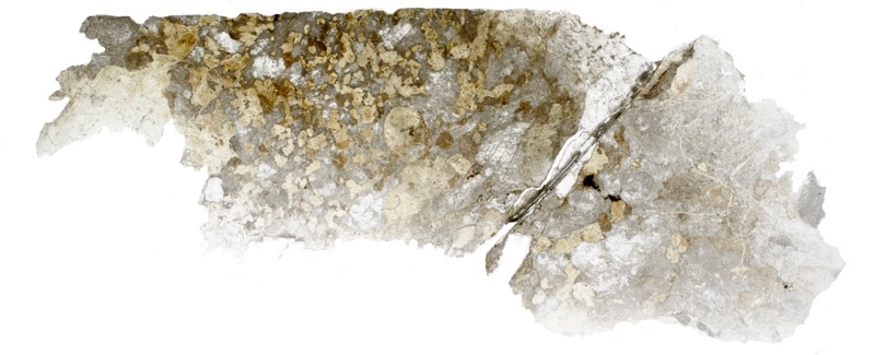
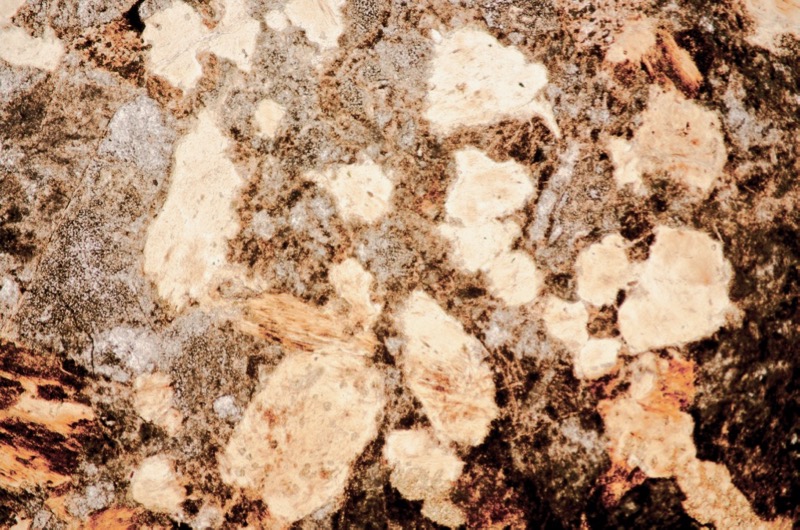
Section is viewed in plane polarised light (FoV 4.6 x 3.0 mm)

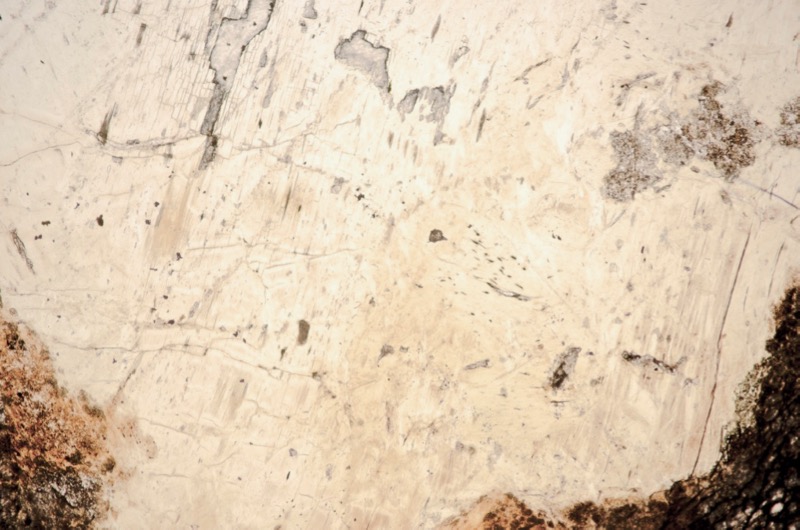
Section is viewed in plane polarised light (FoV 4.6 x 3.0 mm)
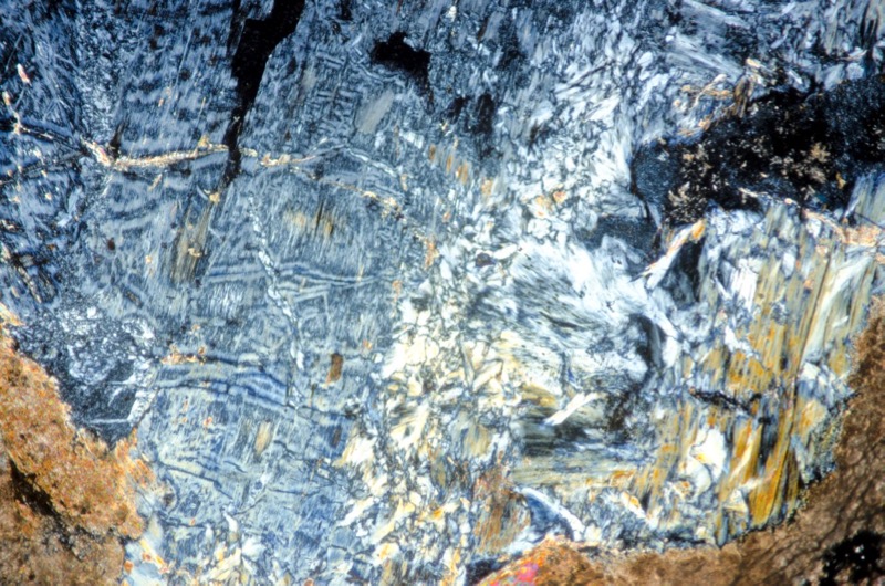
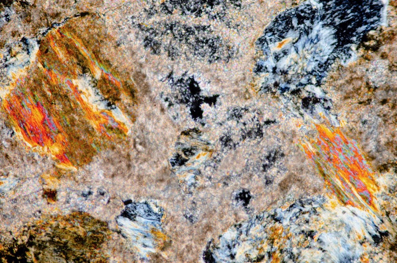
Section viewed with crossed polarising filters (FoV 2.3 x 1.5 mm)

Section viewed in plane polarised light (FoV 1.2 x 0.8 mm)
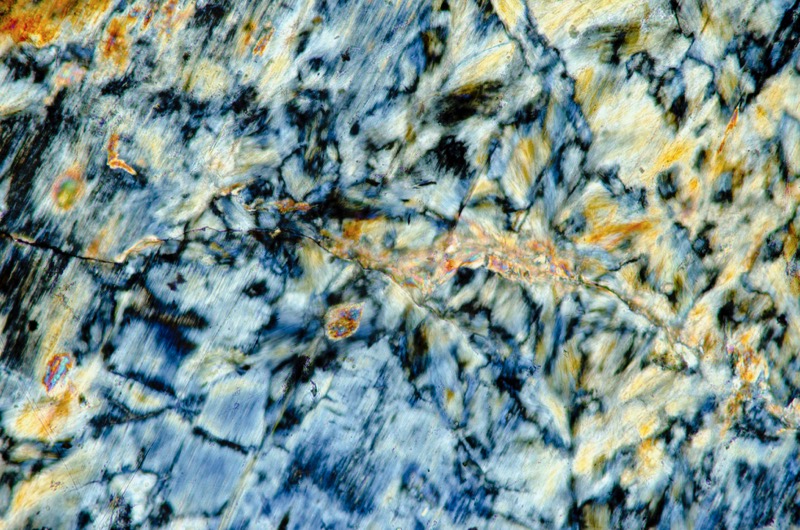
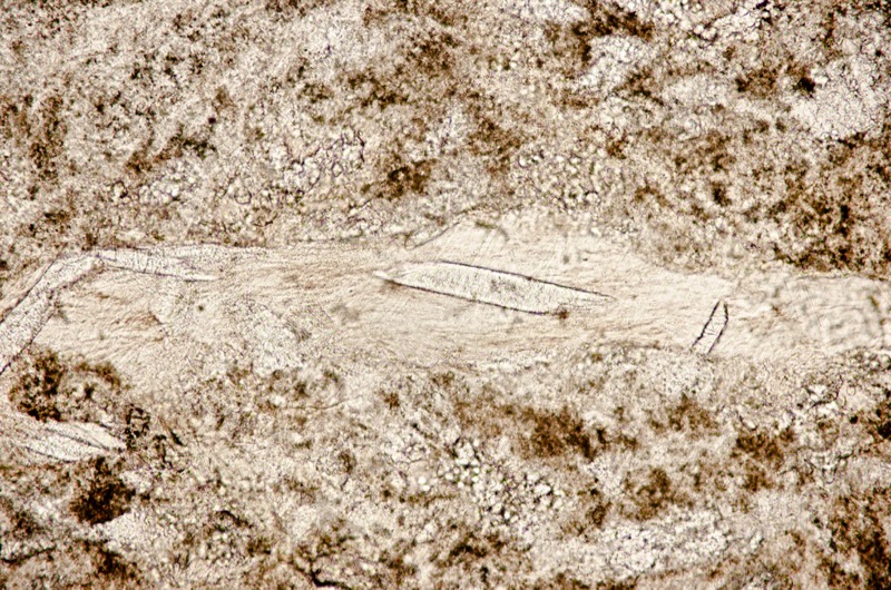
Section is viewed in plane polarised light (FoV 1.2 x 0.8 mm )

Location 2. Pinbain Bridge: melange and chromite-rich dunite

A short walk north along the beach from Bonney’s Dyke brings us to the Pinbain unit of rocks.
Its start is marked with a narrow band of brecciated ophiolitic rock set in black shale immediately before a tertiary dyke. The dyke follows a fault that divides the serpentinite underlying the beach to the south from Pinbain unit to the north. This unit has been described as a melange but the classification isn’t easily made.
The distinction between melange and olistostrome is none too precise. Melanges ‘are tectonic units bounded by shear surfaces’ whereas olistostromes are ‘stratigraphic units generally separated from overlying and underlying formations by depositional contacts’. However olistostromes can be bound and dissected by shear surfaces. Generally, melange rocks are more chaotically severed and mixed than those in an olistostrome where there is more graded change between rock types and sizes presenting a picture of their geographic origin e.g. in a sedimentary basin; but again, there are exceptions.
Map of detailed area at Pinbain Bridge


The palaeogeographic origin of the olistostrome element of the Pinbain unit has been explained as a steep sided sedimentary basin with waters quiet enough for the accumulation of shale. Rocks, some of them over 20 metres across, regularly fell into the basin along with mud that, with the shale, covered them. Shearing of the sediments was continuous and this is visible in the exposure’s shales and cherts.
The presence of tuffs evidences that the basin was close to explosive volcanic activity but not close enough to be disturbed by pyroclastic flows. The pillow lavas present at Pinbain may have fallen into the basin from nearby flows along with the other rock types, or they may have been intruded directly into the mud. Some of the pillow lavas are rounded which suggests the action of water at a shoreline.
Rocks in the conglomerate represent most, if not all, of the ophiolitic rocks in the complex making it clear that they were already at the surface having been mixed before being deposited in the basin.
The conclusion is that the olistostrome element of the Pinbain unit was at the sea-land boundary of a basin opened up as a result of normal faulting associated with back-arc extension and volcanism based on pre-existing oceanic crust.
Specimen 1
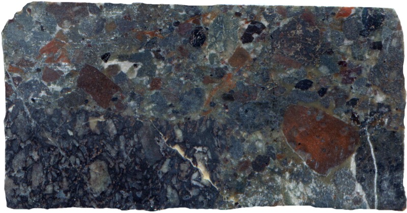
Prepared specimen viewed in reflected light (40mm across)

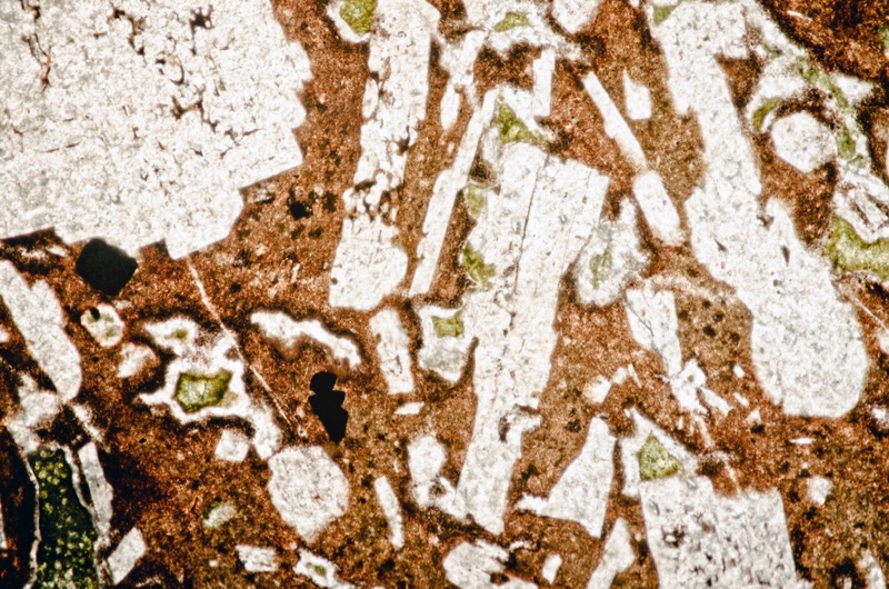
Section is viewed in plane polarised light (FoV 4.6 x 3.0 mm)
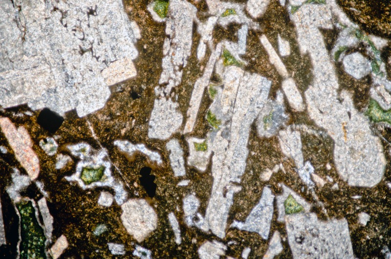

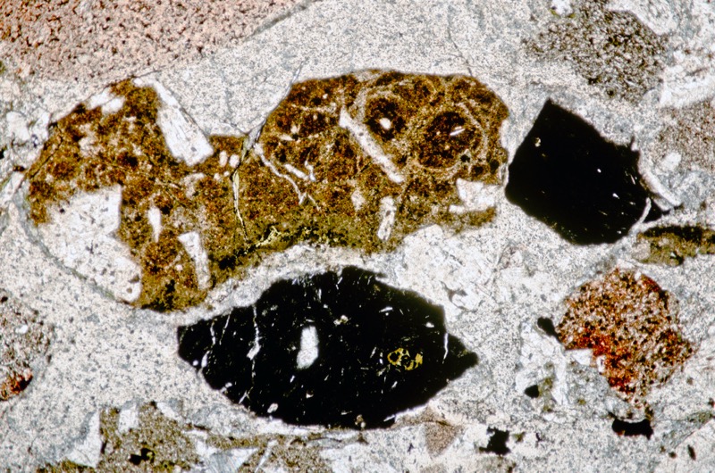
Section is viewed in plane polarised light (FoV 4.6 x 3.0 mm)
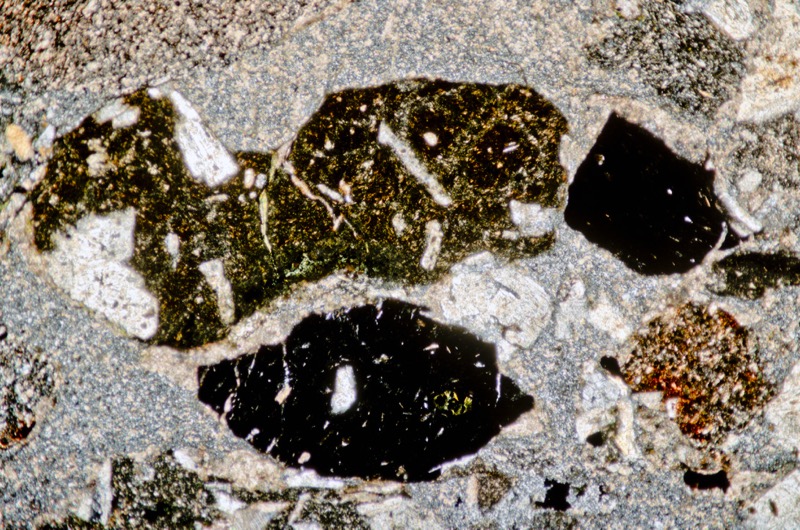
Specimen 2
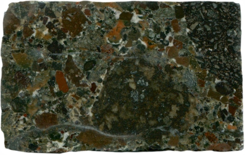
Prepared specimen viewed in reflected light (40mm across)

(39 mm across)
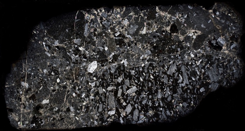

Section is viewed in plane polarised light (FoV 4.6 x 3.0 mm)


Section is viewed in plane polarised light (FoV 4.6 x 3.0 mm)
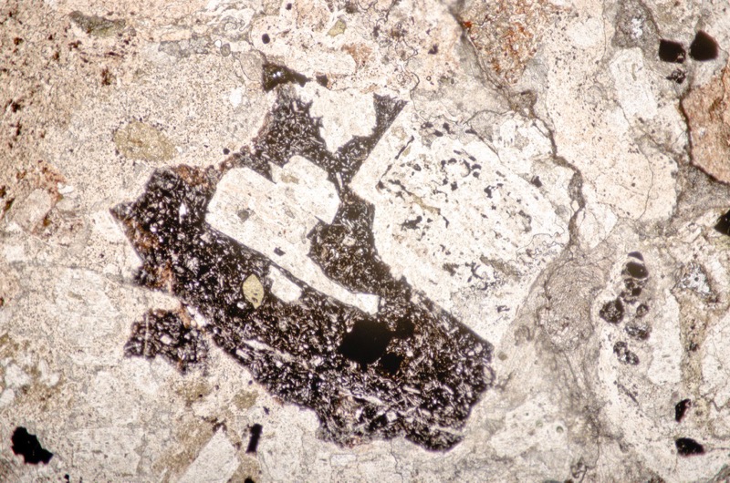
Section is viewed in plane polarised light (FoV 4.6 x 3.0 mm)

Chromite-rich dunite
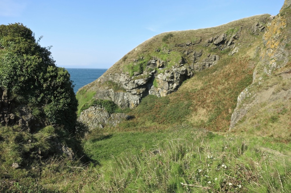
The cliffs on the raised beach just over the road from the coastal exposures of the Pinbain block, represent a section through altered dunite. The exposure is marked by a relatively high concentration of finely disseminated chromite with associated platinum-group minerals. Patches of chrome spinel-rich dunite are visible as darker patches on the cliff face.

The presence of these minerals support the conclusion that the protolith of this northern belt of serpentinite formed at a much greater depth than that of the southern belt. Further, chemical analysis of the chrome spinel doesn’t accord with that of a normal ocean lithosphere, suggesting instead that the protolith had its origins in metasomatised mantle above a subduction zone.
Specimen 1
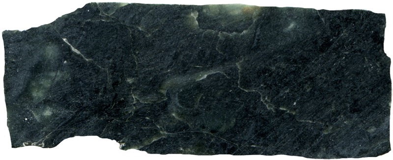
Prepared specimen viewed in reflected light (50 mm across)

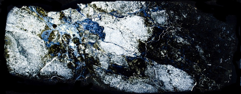

Section is viewed in plane polarised light (FoV 4.6 x 3.0 mm)
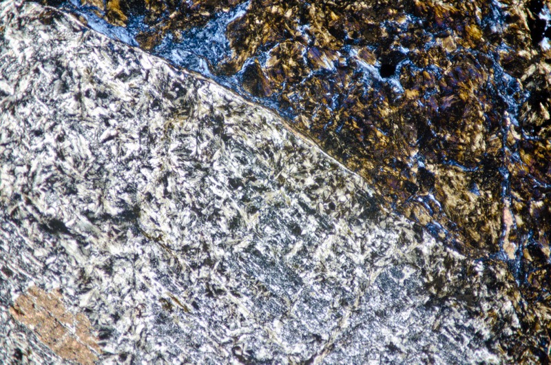

Section is viewed with crossed polarising filters (FoV 2.3 x 1.5 mm)

Section is viewed in plane polarised light (FoV 2.3 x 1.5 mm)

Specimen 2

Prepared specimen viewed in reflected light (52 mm across)


There is more spinel in this section.
Section is viewed in plane polarised light (FoV 4.6 x 3.0 mm)


There is more spinel in this section.
Section is viewed in plane polarised light(FoV 2.3 x 1.5 mm)
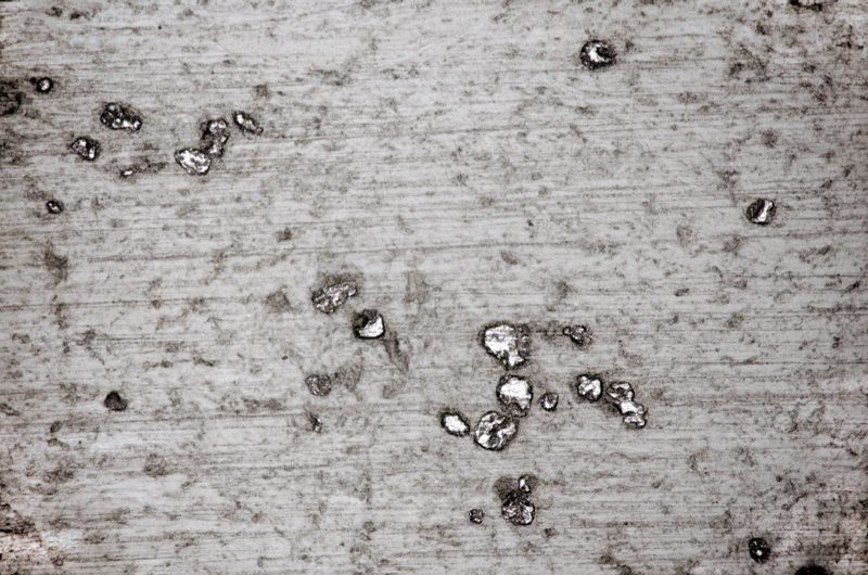

Section is viewed with crossed polarising filters (FoV 2.3 x 1.5 mm)

Section is viewed in plane polarised light (FoV 4.6 x 3.0 mm)
References
P. Stone, 2014, A Review of Geological Origins and Relationships in the Ballantrae Complex, SW Scotland, Scottish Journal of Geology, Volume 50, 1-25.,
P. Stone (et. al.), 2012, British Regional Geology, South of Scotland 4th edition, British Geological Society, Nottingham.
G.J.H. Oliver, P. Stone & B.J. Bluck, 2003, The Ballantrae Complex and Southern Uplands Terrain appearing in The Geology of Scotland ed. N.H. Trewin Geological Society.
Lawson, J.D. and Weedon, D.S. (editors), 1992, Geological excursions around Glasgow & Girvan. Glasgow : Geological Society of Glasgow.
K.J. HSU, 1974 , Melanges and their Distinction from Olistostromes, The Society of Economic Paleontologists and Mineralogists
British Geological Society Online Maps
https://mapapps.bgs.ac.uk/geologyofbritain/home.html
http://mapapps.bgs.ac.uk/geologyofbritain3d/[/wr_text]