Location 1. Exposures on the path at NU002163 and NU001163
Location 2. Brough Law hillfort at NT998163
Location 3. Low-lying exposures of lapilli-tuff at NT996162
Map showing the excursion route, locations and igneous rock types


This excursion, together with the Hartside Hill and Knock Hill excursion, provides opportunities to investigate the rocks resulting from the earliest phase of volcanic activity in the Cheviots. These are the pyroclastic rocks made up of a mixture of the ash, small stones or ‘lapilli’, and larger cobbles or blocks that were thrown out from volcanic vents due to the force of the initial paroxysmal eruptions.
Relatively little has been written about this type of rock in the Cheviots and what information there is mostly concerns the pyroclastic rocks exposed in the upper Coquet Valley in the south-west.
Carruthers, Burnett and Anderson (1932), following Clough (1888) describe the thick bed of agglomerate on Thirl Moor near Makendon as the lowest bed in the whole Cheviot Volcanic Series, resting ‘unconformably upon highly-inclined Silurian strata..’. At the summit of Thirl Moor, they record the thickness of the bed as 200ft (61m) and describing it as silicified breccia. The rock fragments are described as fine-grained mica-felsite (now referred to as biotite-feldspar-phyric trachyte), its colour frequently changed through decomposition into a light pink or dirty yellow. Some of the fragments are recorded as being at least 1.5m long with others, only a little less in size, being quite common The majority of samples were said to show macroscopic as well as microscopic biotite.
More recently, the British Geological Survey have described the same beds, as ‘breccia composed of rubbly, angular to sub angular clasts of silicic volcanic rock, along with some mudstone fragments.’ The Survey reiterates that the Thirl Moor rock, ‘is most likely the product of initial phreatomagmatic eruptions, though a sedimentary origin cannot be entirely discounted.’
Both surveys mention the occasional presence of thinner layers of this type of rock higher in the volcanic succession indicating that, from time to time, the longer periods of quieter eruption of andesitic lavas were interrupted by shorter periods of more explosive eruption.
We wonder how this research relates to the pyroclastic rocks of the Ingram Valley. We have found nothing written specifically about this area even though, according to the BGS online map, these rocks occupy a considerable area. So, here we go.

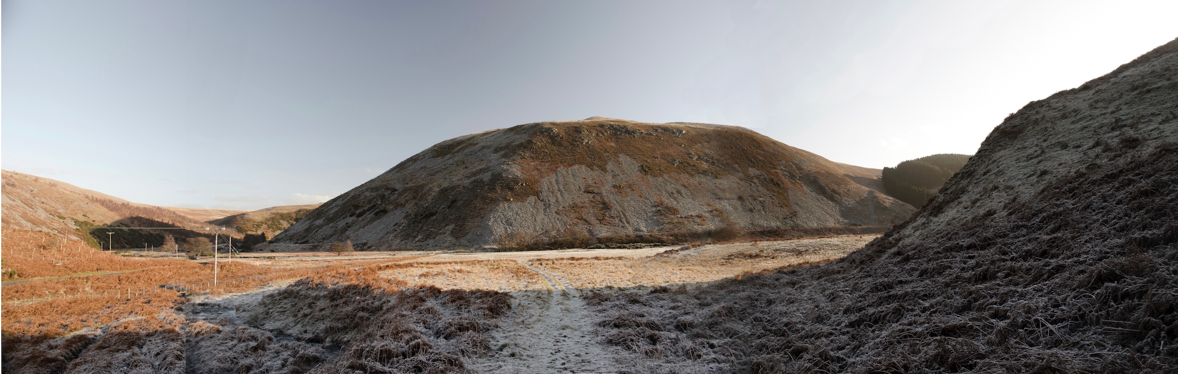
The track can be seen leading from the ‘Bulby’s Wood’ car park (behind the trees, right) up Brough Law (left) between the outcrops and the conifer trees (far left).
We park the car along with others at the popular tourist spot ‘Bulby’s Wood’ at NU008163, cross the road and take the track up the hill. We could have taken the longer, more gradually rising route that starts from just outside Ingram. That route would have taken us over Turf Knowe and Ewe Hill but we opt for this shorter one that will take us up to the plantation on Brough Law and then across to the summit. This way, we can take in the exposures by the footpath near the plantation that we saw from the road as we drove in.
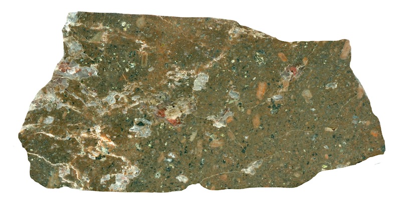
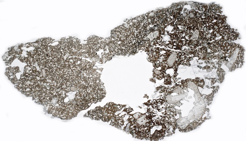
Location 1 is a small exposure on the path at NU002163 together with a larger one just above it at NU001163. Both are lapilli-tuff and are surprisingly strong rocks. When polished, the ash and stone fragments that make up the rock become easier to make out. The tuff in the sample from the lower exposure has slightly larger rock fragments than that at the higher one.

Prepared specimen in ordinary reflected light (45mm across)

Prepared specimen in ordinary reflected light (45mm across)
We continue up the path and reach the summit of Brough Law that is crowned by its impressive hillfort.
The fort is a large (68m x 54m) almost circular late-Iron Age settlement bounded by stone walls and banks of rubble. Radiocarbon dating of rampart material has provided a date for commencement of construction sometime between 335-155BC. The massive stone walls of the fort have, over the ages, been robbed for stone, re-arranged for animal pens, and deconstructed during excavations but despite the meddling, archaeologists have a fairly detailed picture of their construction. To the north and west, the fort enjoyed the natural protection of the steep scree slopes – the Ingram Glidders so a double-skinned inner wall 3.5m wide sufficed. Easier access from the south and to some extent from the east required a thicker and possibly a higher inner wall that reached 5.5 m wide at the entrance. Defences were completed by the addition of an outer wall that was approximately 1m wide and the construction of an earthen bank 40m out from the walls to strengthen the southern approach.
Entrances to the east and south were staggered through the walls, the entrance to the east having a causeway that would have originally connected across the ditch. Other gaps in the wall to the north and west are not original. There are definite remains of three hut circles with turf-covered stone walls in the fort. The largest one is almost 9m in diameter and the other two are approximately 5m across. These have been excavated revealing charred wood and fragments of pottery dated between 0 AD and 700 AD and identified as possibly Votadinian and 2nd century Roman. The Votadini were the dominant Celtic tribe of the area, An iron knife was also found and identified as Saxon.

In the foreground, a lumpy, ground-level outcrop of fine-grained lapilli-tuff with an outcrop of andesite-like rock in the background by the far wall.
Most, if not all, of the rock that outcrops on the slightly domed floor of the fort is tuff, not andesite as is shown on the BGS online map. The map suggests that the whole of Brough Law consists of two layers, an agglomerate/tuff base-layer associated with the early explosive phase of volcanic activity that is topped by a layer of andesite resulting from later effusive lava flows, but this isn’t the case. If there was a cover-all layer of andesite, it has been eroded away at this location. However, this is not to say there are definitely no andesite outcrops to be found up here, but that portion of the rock that looks andesitic could well be an andesitic crystal tuff.
Entering into the fort from the south, there is an exposure just inside the walls that seems to be a mix of obvious ‘lumpy’ looking, weathered tuff and some more angular, dark, andesitic-looking rock. This may be an outcrop of the andesite dyke that is shown on the BGS map running between Knock Hill and Brough Law or it may simply be hard, andesitic tuff – we can’t be sure. The metamorphic effect associated with the heat and compressive force of an intruding dyke or the proximity of a deep overlying cover of lava could explain the hardness of tuff in this vicinity.
The minerals in this dark rock are what we would expect in Cheviot andesite; lots of plagioclase in both the form of large ‘phenocrysts’ and in the form of small laths, ortho- and chino-pyroxene, biotite and iron-titanium minerals. Many of the large plagioclase crystals are broken and embayed and some of the mafic minerals, particularly biotite, have been replaced with chlorite.
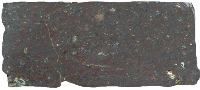
Prepared specimen in ordinary reflected light (45mm across)
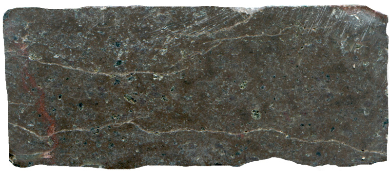
Prepared specimen viewed in ordinary reflective light (45mm across)
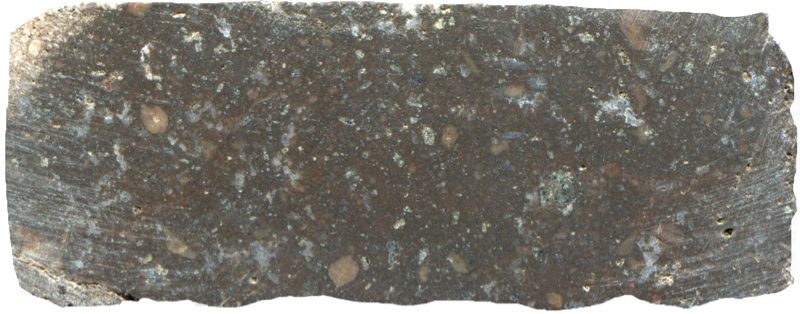
Prepared specimen viewed in ordinary reflective light (52mm across)

Section viewed in plane polarised light (FoV 4.6 x 3.0 mm)

Section viewed in plane polarised light (FoV 2.3 x 1.5 mm)

Section viewed in plane polarised light (FoV 2.3 x 1.5 mm)

We leave the hill fort via the north-west exit and investigate the many low-lying outcrops..

The Ingram Valley road winds between Hartside Hill (left) and Knock Hill (right) to Linhope. Both hills are substantially tuff and agglomerate and are visited in a later excursion. Cunyon Crags on Dunmoor Hill are visible in the distance. One of a number of low-lying outcrops of tuff is visible in the extreme right foreground.
Again, according to the BGS map, all of the rock in this area should be andesite but we identify most of it as lapilli-tuff but with some parts of outcrops being more fine-grained and having the same andesitic look that we saw earlier.
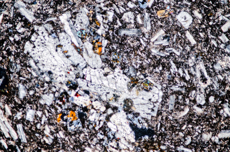
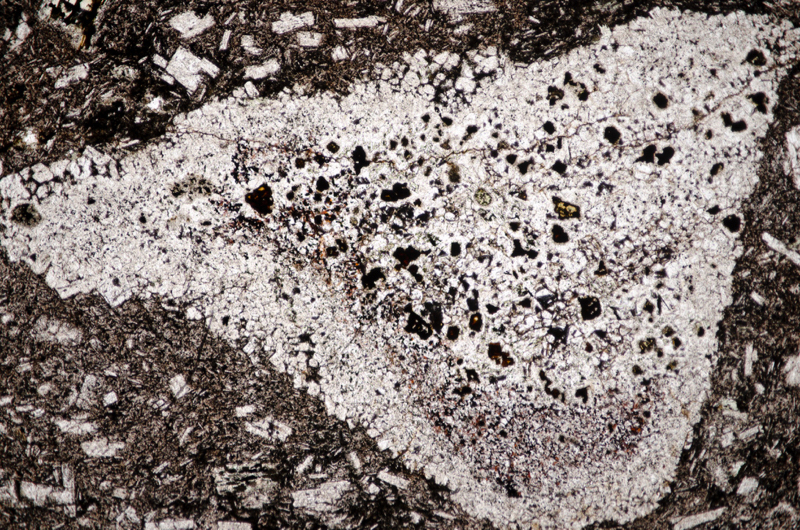
In thin section, we can see that the larger elements of the tuff are plagioclase crystals with much reduced quantity of, and contrast within, their polysynthetic twinning. They are embayed and full of inclusions that have been subject to alteration. We also see a weak flow structure around them. The rock’s alteration is also evidenced by the numerous patches of chlorite, most likely altered mafic minerals like pyroxenes and biotite, that appear dark blue and brown when viewed under the microscope with crossed polarising filters. Some of the quartz in the rock has the patchy extinction associated with strain.
Specimen 1
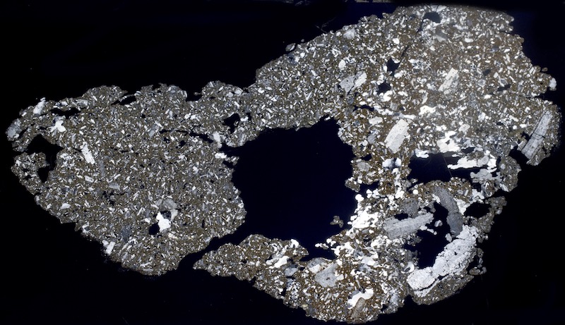
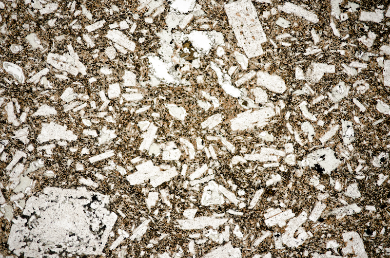
Section viewed in plane polarised light (FoV 4.6 x 3.0 mm)
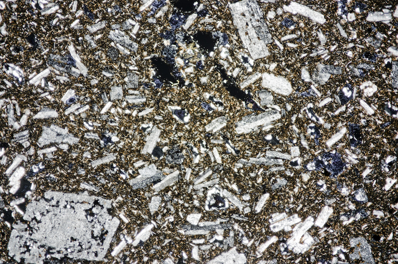
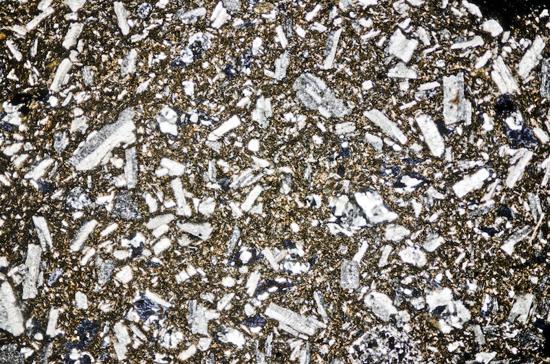
Section viewed with crossed polarising filters (FoV 4.6 x 3.0 mm). The fine-grained portion of the rock is stained brown with iron oxides so that the unstained, larger feldspar crystals appear in clear relief.

Section viewed in plane polarised light (FoV 2.3 x 1.5 mm)
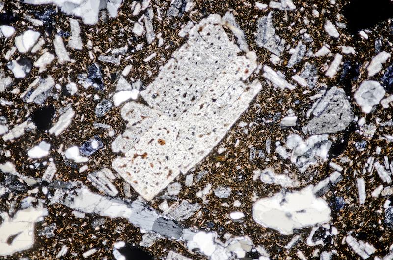

Section viewed with crossed polarising filters (FoV 2.3 x 1.5 mm)
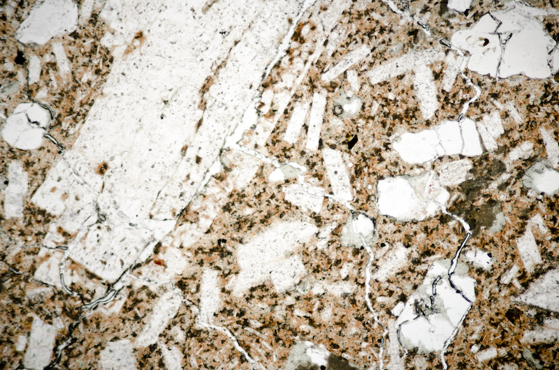
Section viewed in plane polarised light (FoV 2.3 x 1.5 mm)
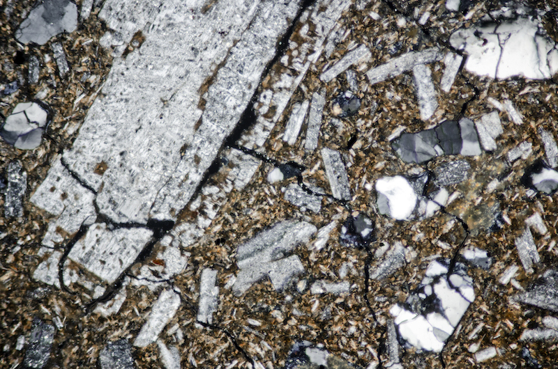
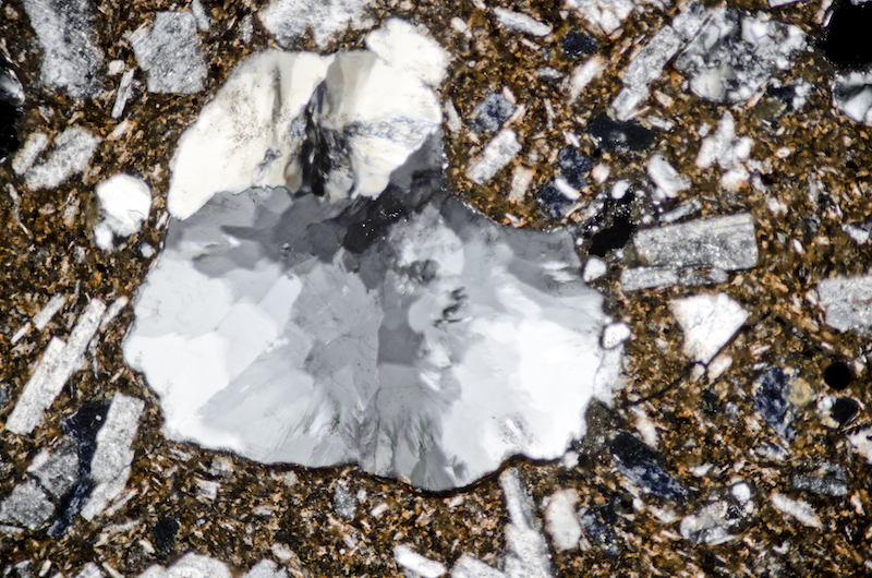
Section viewed with crossed polarising filters (FoV 2.3 x 1.5 mm)
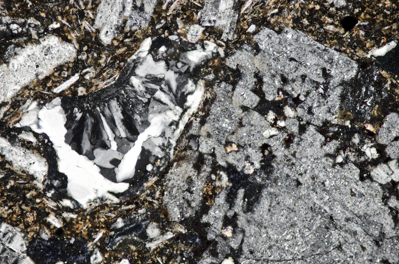
Section viewed with crossed polarising filters (FoV 1.2 x 0.8 mm)
Specimen 2 & 3
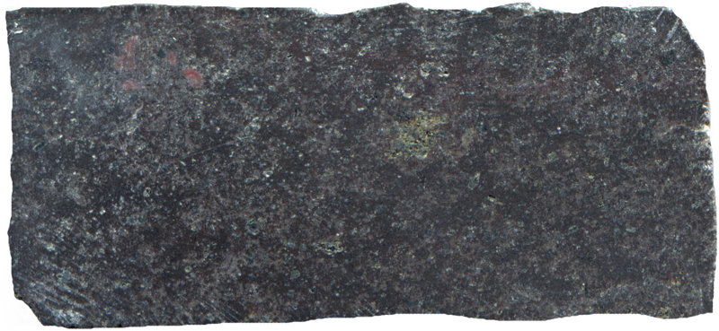
Prepared specimen in ordinary reflected light (45mm across)
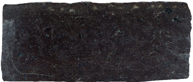
Prepared specimen viewed in ordinary reflective light (48mm across)

Section viewed in plane polarised light (FoV 4.6 x 3.0 mm)
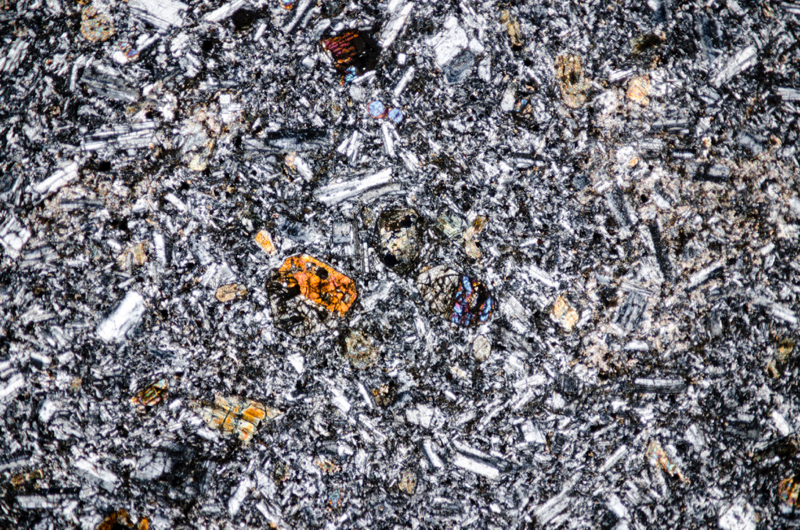

Section viewed in plane polarised light (FoV 4.6 x 3.0 mm)


A short walk west and we arrive at location 4, Brough Law’s south-west facing crags at NT995162.
Identification of some of the rock here presents us with same ‘andesite or andesitic crystal-tuff?’ problem. We originally take it to be andesite that has been deposited as lava over tuff, but remembering our doubts about the other, similar rocks we have seen on this excursion, added to the fact that there is a great deal of tuff above the contour of these crags, makes us to look again. More fieldwork reveals that most of these crags are, in fact, lapilli-tuff – the andesitic-looking rock that we have found being restricted to just one location. As at location 2, the hill fort, the surface of this rock looks less lumpy than the surface of the adjacent tuff, the jointing more angular, and the rock darker and more brittle – but we are unable to identify an obvious junction between it and the lapilli-tuff. In the hand, this rock looks similar to the fresh, haematite-veined andesite we have found elsewhere in the Cheviots, but it lacks that rock’s very black and glassy appearance. It could be an andesitic dyke similar to those found on Hartside Hill and Knock Hill on the other side of the valley, possibly mixing with tuff as it was intruded, but perhaps it is a mafic crystal-tuff.
The sample we take has plagioclase crystals measuring up to 5 mm long. In one of these, a haematite-rich veinlet has created interesting micrographic textures.
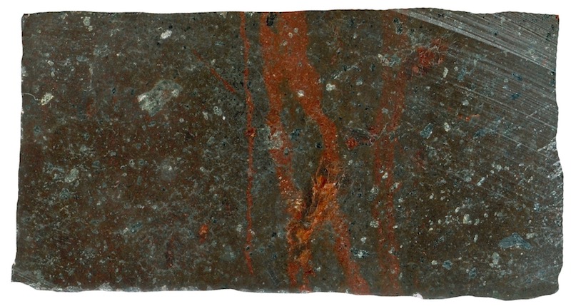
Prepared hand specimen in ordinary reflected light (35mm across)
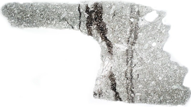
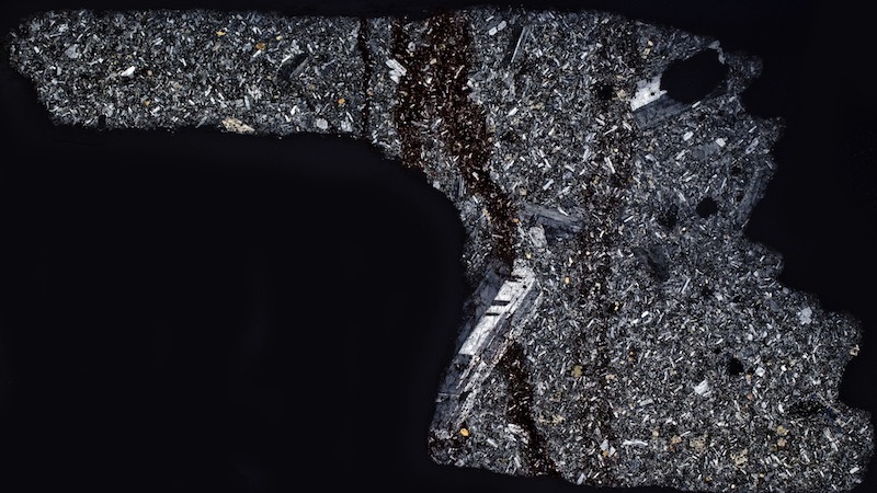
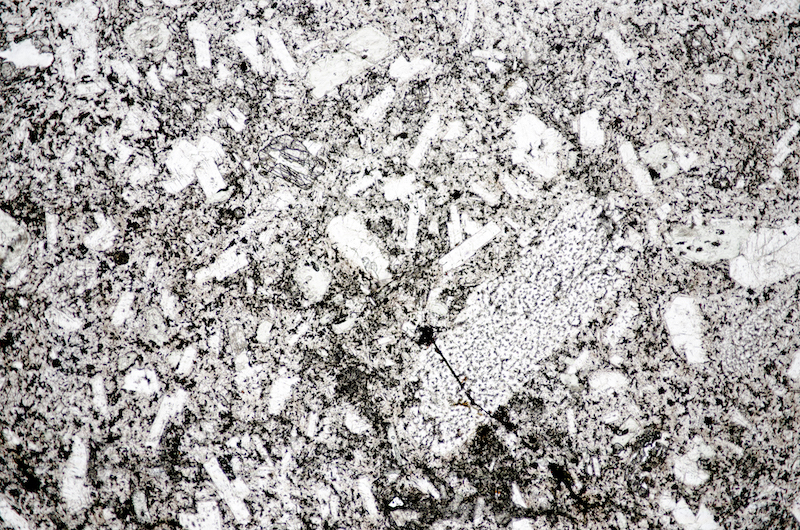
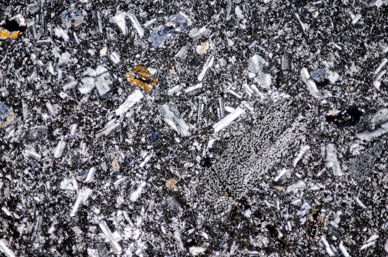
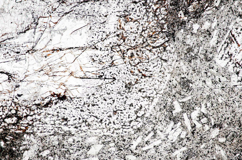
Section viewed in plane polarised light (FoV 4.6 x 3.0 mm)
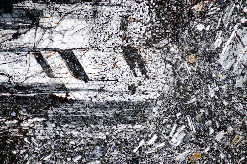
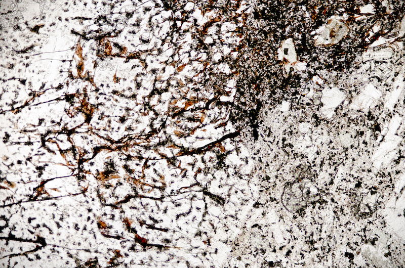
Section viewed in plane polarised light (FoV 2.3 x 1.5 mm)
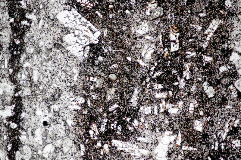
Section viewed in plane polarised light (FoV 1.2 x 0.8 mm)
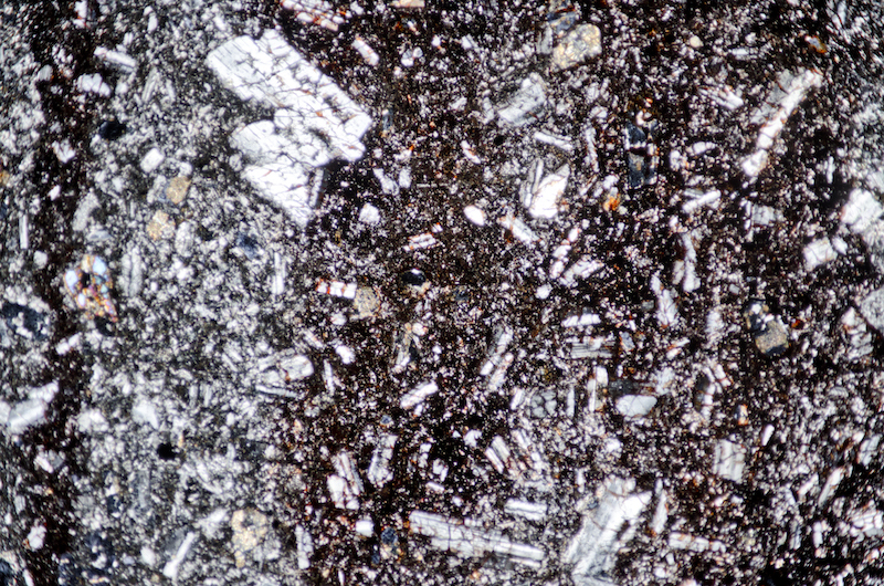
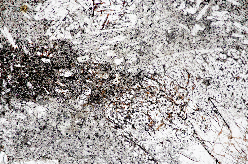
Section viewed in plane polarised light (FoV 1.2 x 0.8 mm)
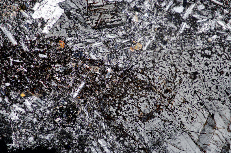
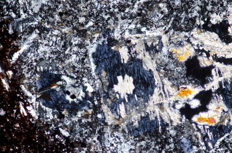
Section viewed with crossed polarising filters (FoV 1.2 x 0.8 mm)

We contour west across rough ground towards the plantation next to Broughlaw Slack. There are a number of large boulders decorating the hillside in this area, their bright red colour being a consequence of the amount of haematite they contain. Their surface texture is very uneven reflecting their agglomerate origin but why these boulders should be so haematite-rich while others nearby are not is puzzling. We haven’t seen an outcrop of similar rock close by. The rock fragments look like felsite.


Hand specimen in ordinary reflected light
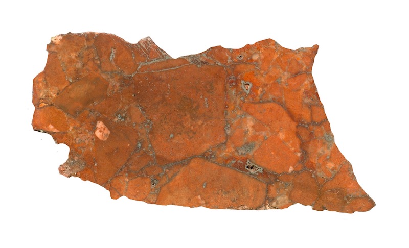
Prepared specimen in ordinary reflected light (35mm across)
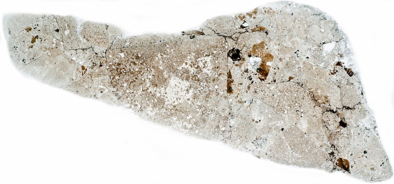
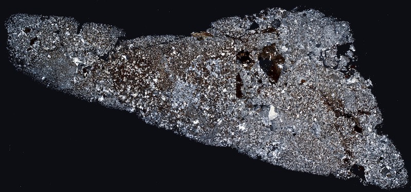
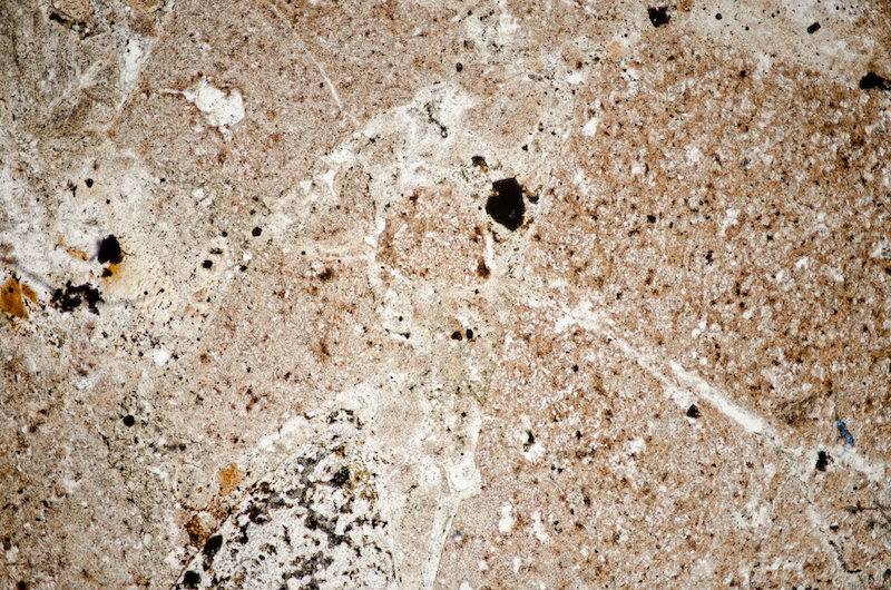
Section viewed in plane polarised light (FoV 4.6 x 3.0 mm)
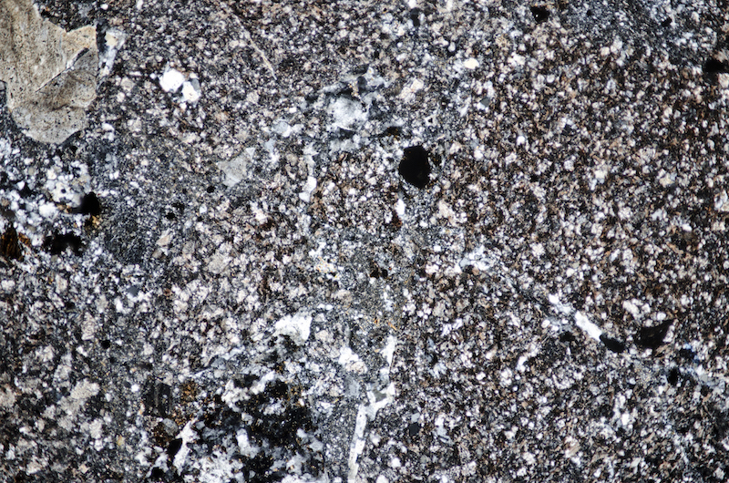
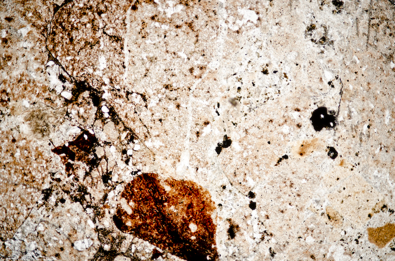
Section viewed in plane polarised light (FoV 4.6 x 3.0 mm)

Section viewed in plane polarised light (FoV 4.6 x 3.0 mm)
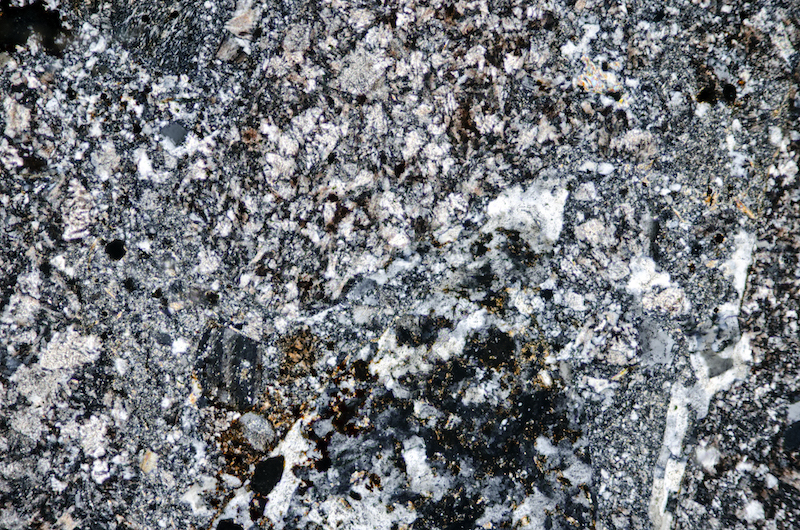
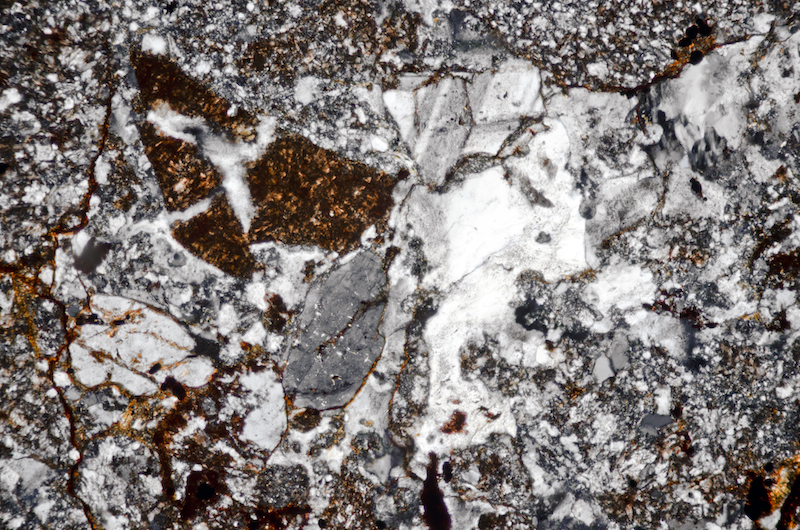
Section viewed with crossed polarising filters (FoV 2.3 x 1.5 mm)5 mm)
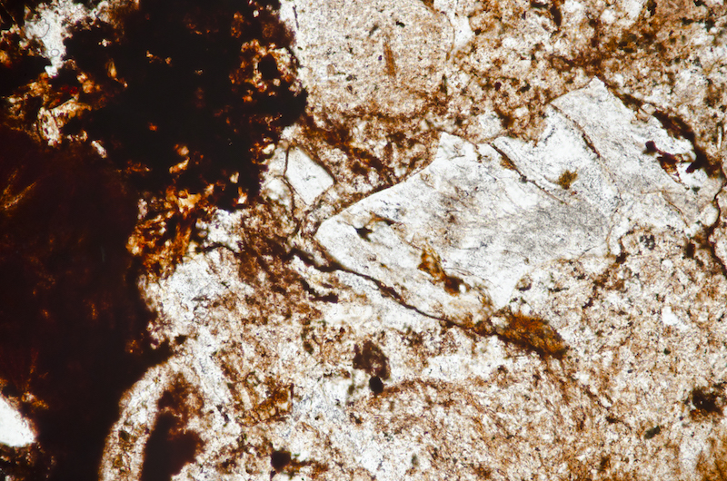
Section viewed in plane polarised light (FoV 1.2 x 0.8 mm)
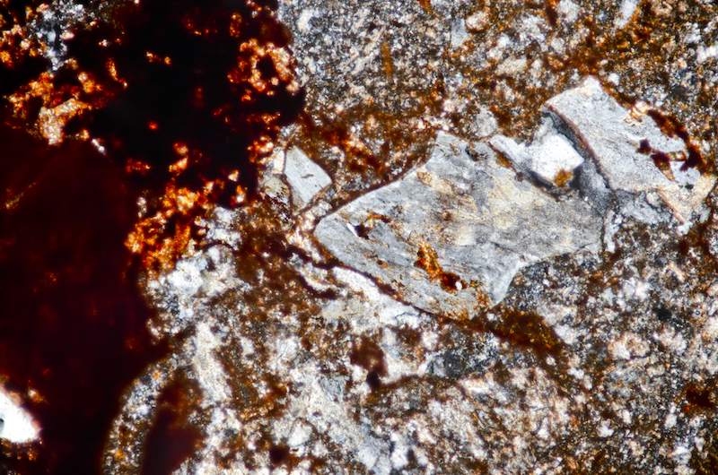
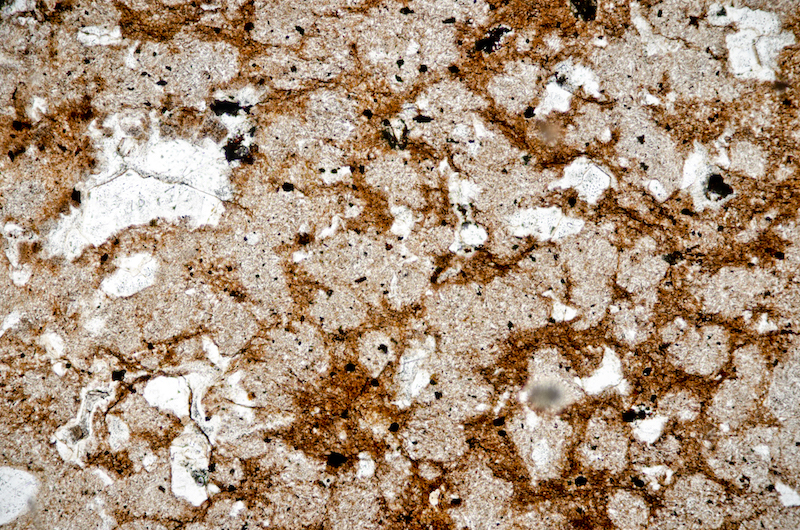
Section viewed in plane polarised light (FoV 2.3 x 1.5 mm)

We cut down the dip by the trees and sample the lapilli tuff that is outcropping here.

Prepared specimen in ordinary reflected light (47mm across)
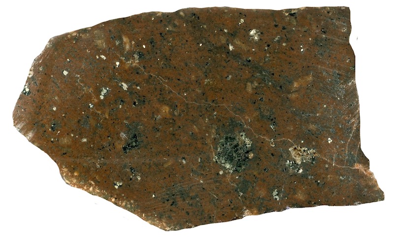
Prepared specimen in ordinary reflected light (35mm across)
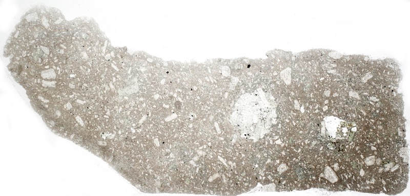
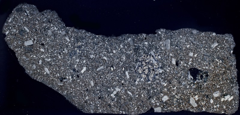

Picking our way between boulders at the base of Brough Law, we follow the line of the river head back towards the road. On the way we sample more lapilli-tuff at NT994162 and we are rewarded in thin section with a beautiful patch of epidote crystals.
Specimen 1
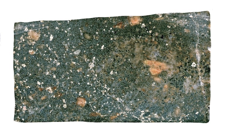
Prepared specimen in ordinary reflected light (36mm across)
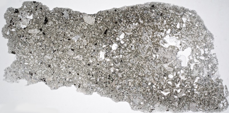


Section viewed in plane polarised light (FoV 1.2 x 0.8 mm).
Note the high relief, glassy appearance, pseudohexagonal crystal form and the transparent yellow-green pleochroism when the polariser is rotated.

The same epidote crystals with the polariser rotated to reveal their pleochroism.

Section viewed with crossed polarising filters (FoV 1.2 x 0.8 mm)
We continue to skirt around the base of the hill, across the scree and then on a very narrow track that soon becomes wider and finally joins the Ingram-Linhope road by the bridge. There are a number of small exposures of bedrock along the way. The outcrop at NT994163 is andesitic, another at NT995164 is a more recognisable lapilli-tuff, and the last we sample, at NT996165, is, again, andesitic. The isolated nature of the andesitic rock outcrops suggests intrusion as dykes or deposition in a channel rather than deposition in a blanket layer.
Specimens 2, 3 & 4
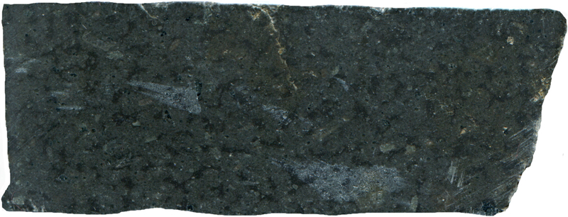
Prepared specimen in ordinary reflected light (52mm across)
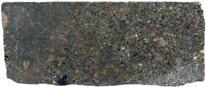
Prepared specimen viewed in ordinary reflective light (45mm across)
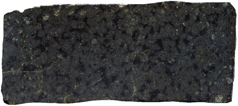
Prepared specimen viewed in ordinary reflective light (43mm across)

Section viewed in plane polarised light (FoV 2.3 x 1.5 mm)


Section viewed in plane polarised light (FoV 4.6 x 3.0 mm)


Section viewed in plane polarised light (FoV 4.6 x 3.0 mm)


Section viewed with crossed polarising filters (FoV 4.6 x 3.0 mm)
At the bridge we have the option of turning left to explore Hartside Hill and Knock Hill, or bearing right to walk back to the car at Bulby’s Wood.
References
Clough C.T., 1888. The Geology of the Cheviot Hills (English Side) HMSO
Carruthers R G, Burnett, G A, Anderson W, and Thomas HH, 1932. The Geology of the Cheviot Hills (Based on the work of C.T. Clough and W. Gunn) HMSO
Stone P. et al , British Regional Geology Northern Britain 5th edition, British Geological Survey, 2010
British Geological Survey Online geology map http://mapapps.bgs.ac.uk/geologyofbritain/home.html
Historic England Brough Law hillfort http://www.pastscape.org.uk/hob.aspx?hob_id=1033854&sort=2&type=hillfort&rational=a&class1=None&period=None&county=None&district=None&parish=None&recordsperpage=10&source=text&p=60&move=p&nor=889&recfc=0