Location 1. Lapilli tuff outcrop, riverside on Hartside Hill
Location 2. Andesitic dyke or crystal-tuff in lapilli-tuff/agglomerate at NT993159
Location 3. Haematite-free granitic intrusive rock in lapilli tuff at NT993159
Location 4. Quartz-porphyry dyke NT993158
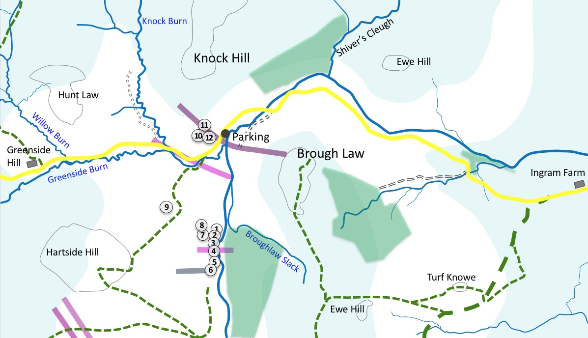
Map showing the excursion route, locations and igneous rock types

This excursion, like the Brough Law excursion, provides opportunities to investigate the pyroclastic rocks that erupted early in the life of the Cheviot complex. These are classed as igneous rocks although they are in a sense sedimentary in that that were deposited as particles or fragments under the forces of gravity and volcanic eruption. It is also recognised that some of these deposits could have been transported and laid down by water soon after their eruption. The particles vary in size between ash, small stones or ‘lapilli’, larger cobbles and sizeable blocks.
We begin with a visit to Hartside Hill. It can be reached on foot from Brough Law by following the Linhope road over the small bridge that crosses the River Breamish, past Knock Hill on the right, to the track leading from the car parking and picnic areas and on over the stile by the gate.
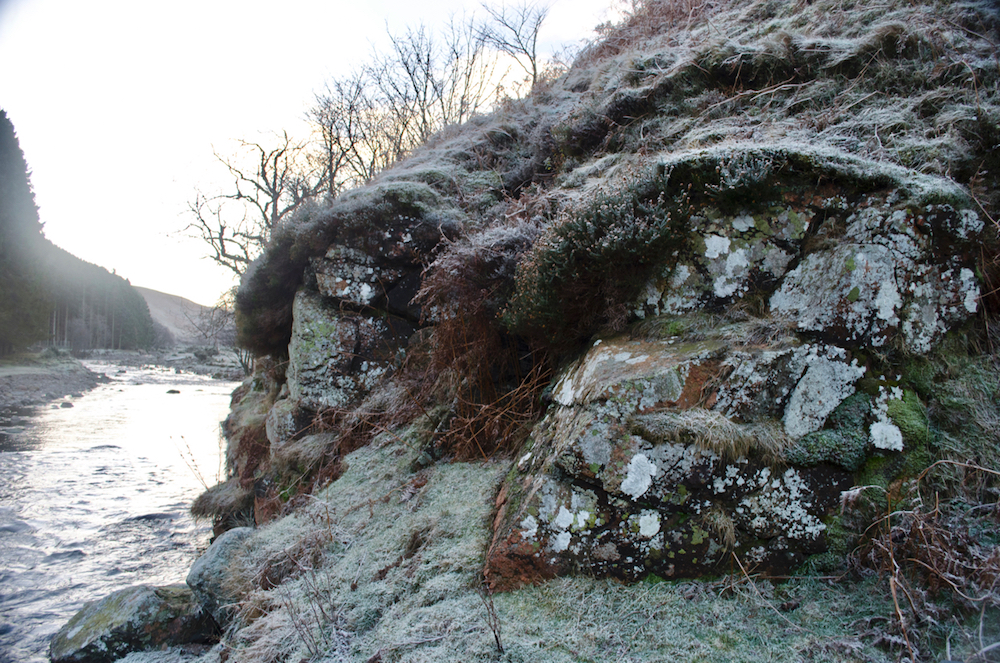
Once over the stile, we cross the small bridge over the burn and continue, following the river bank to location 1, the lowest of the numerous lapilli tuff/agglomerate outcrops at NT993159.
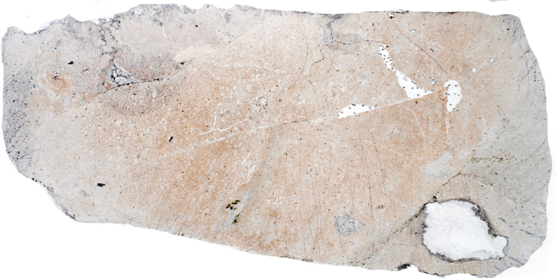
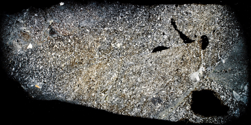
This rock at this riverside exposure is very similar to that in the large red boulders on Brough Law. The majority of rock fragments appear to be a hard haematite-rich felsite of varying size. Almost all fragments are angular and quite closely packed. There are the occasional altered biotite crystals to be seen and small patches of chlorite that suggest the original presence of mafic minerals.There is one crystal in our sample that looks very much like tourmaline and shows vertical and horizontal extinction but strangely, it is not pleochroic.

Prepared specimen in ordinary reflected light (60mm across)

Prepared specimen in ordinary reflected light (45mm across)
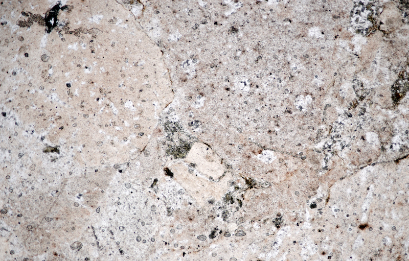
Section viewed in plane polarised light (FoV 4.6 x 3.0 mm)
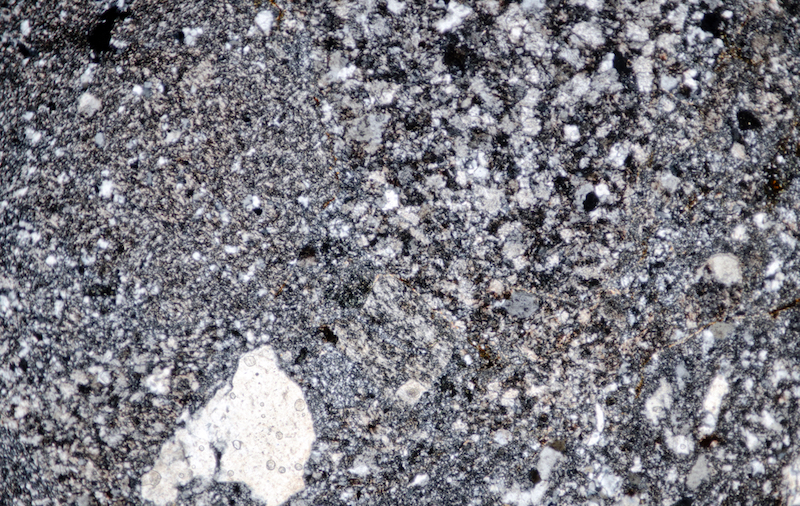
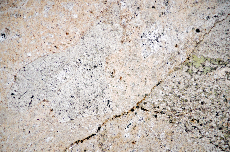
Section viewed in plane polarised light (FoV 4.6 x 3.0 mm)
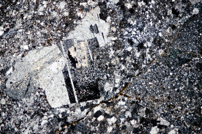

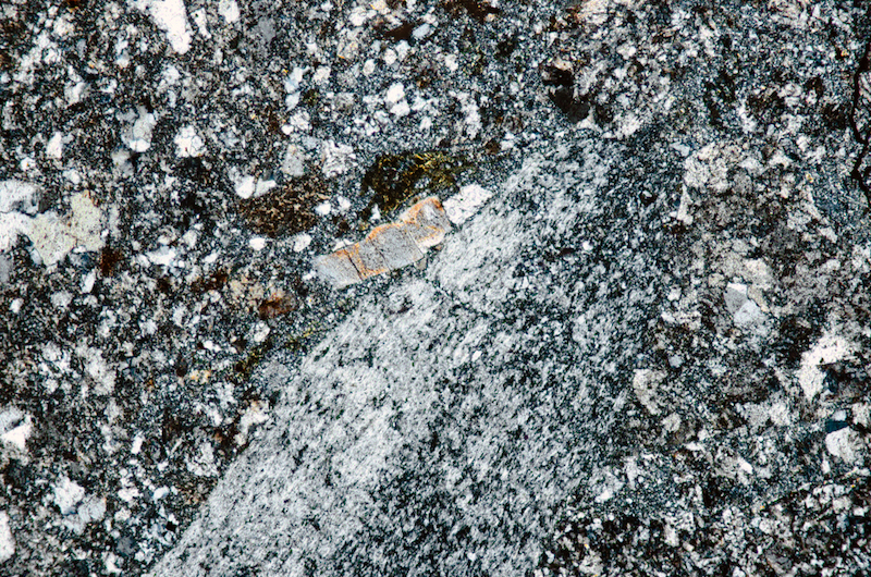
Section viewed with crossed polarising filters. (FoV 2.3 x 1.5 mm)
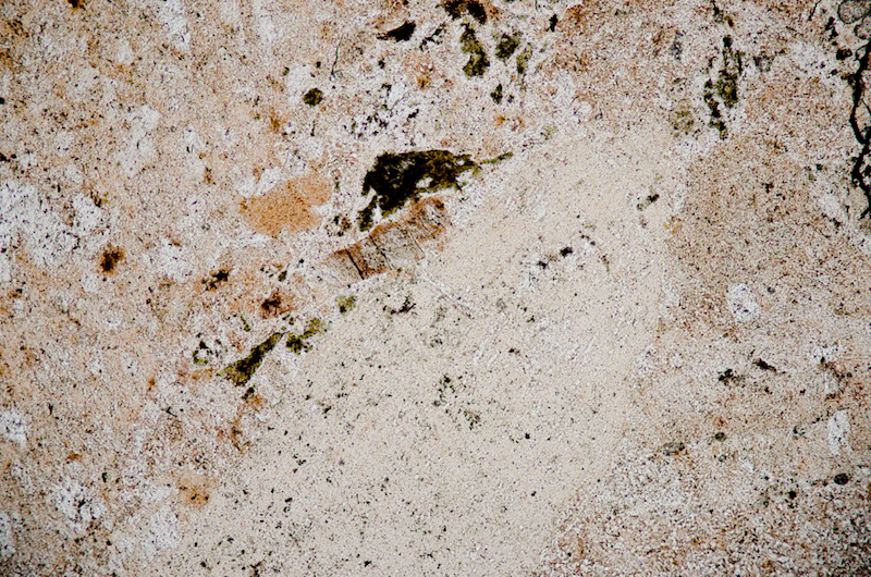
Section viewed in plane polarised light (FoV 2.3 x 1.5 mm)
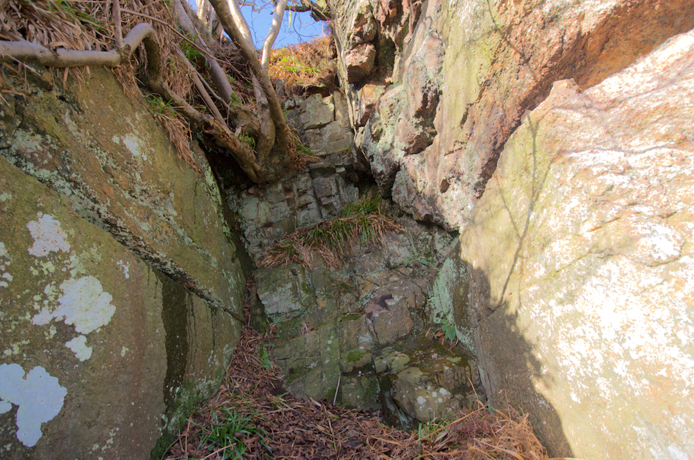
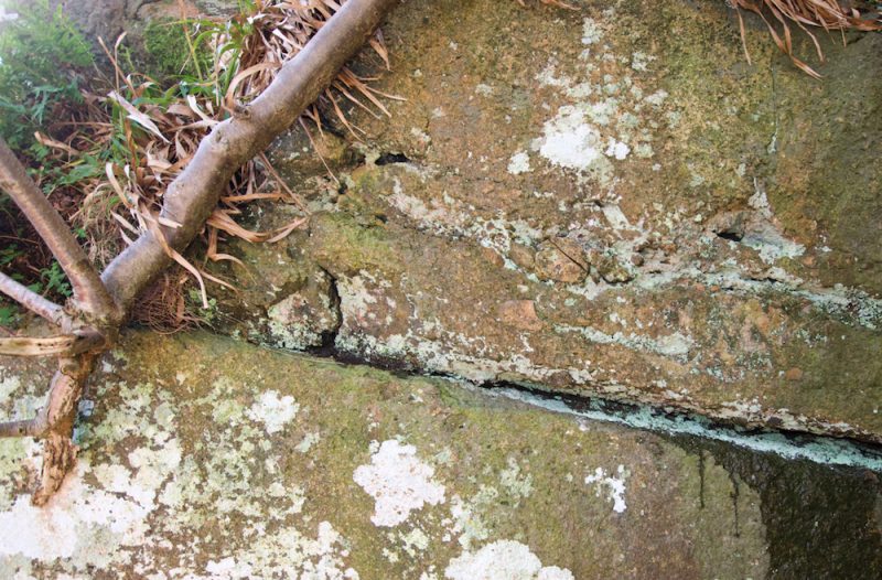
Displacement of a prominent division in layers in rock each side of the fault suggests a slight downthrow to the south.
We want to examine the exposures all along this west bank of the Breamish but although our next location is only a matter of yards south, upstream from location 1, there is no direct access on this occasion without taking a dip in the river. So, we take the sheep track that runs over the top of the exposure, parallel to the river until we come to a spot where we can climb down and track back to location 2 where there is a faulted gap in the lapilli-tuff that is filled with a fine-grained, hard, dark grey rock.
The fault is 1.5m wide and a prominent change of texture in the layers of the rock, visible in both the north and south walls, suggests the rock to the south is downthrown by 30cms or so. The infilling rock looks similar to the rock we see later on this excursion at location 8 that abuts another outcrop of lapilli tuff higher up the hill. Our immediate thought is that it is a dyke even though a dyke doesn’t appear here on any of the Geological Survey maps that we have seen.
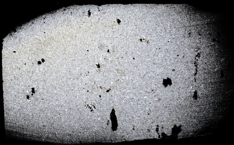
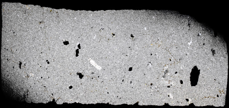
In thin section we see plagioclase ‘phenocrysts’ and occasionally altered biotite ‘phenocrysts’ in a fine feldspar ground supporting many small plagioclase laths, that is scattered with many fine particles of opaque iron-titanium oxide. So, it could be an andesite dyke – there is one mapped over on Knock Hill that we will be investigating later on this excursion. The mineral content of the rock would support this supposition, but the absence of disruption at the boundary between this rock and the lapilli-tuff that we could expect from an intrusion, combined with the fact that it is recessed back between the two faces of the tuff suggesting it has been a rock softer, in addition to the chaotic, tuff-like distribution of crystals that we see when we view it in thin section, all suggest it might be a crystal-tuff. If it isn’t a igneous dyke, how does it come to be here between these walls of lapilli-tuff? Perhaps this was part of a channel that directed a flow of andesitic mud from higher ground. Against this, we could point to the vesicles in the rock, suggesting a gaseous content and an intrusive origin.
Specimen 1
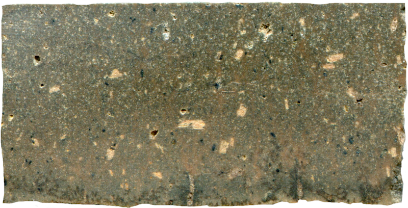
Prepared specimen in ordinary reflected light (38mm across)

Specimen 2
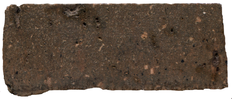
Both of our samples have vesicular cavities. Prepared hand specimen in ordinary reflected light (45mm across)

(43mm across)
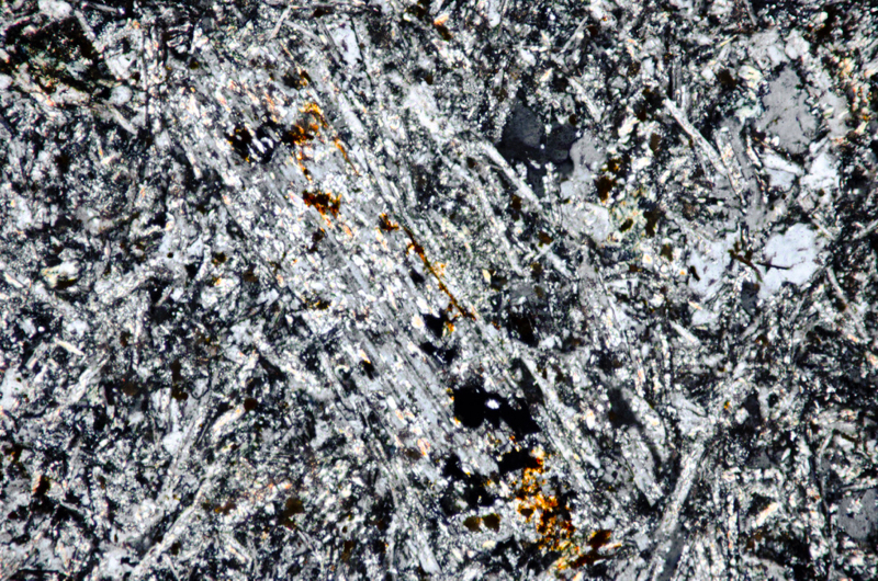
Section viewed with crossed polarising filters(FoV 1.2 x 0.8 mm)
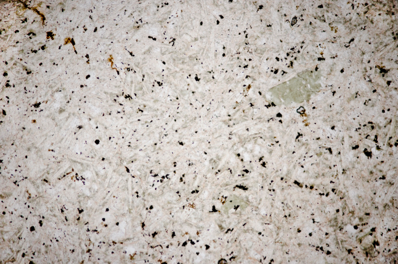


Section viewed in plane polarised light (FoV 1.2 x 0.8 mm)
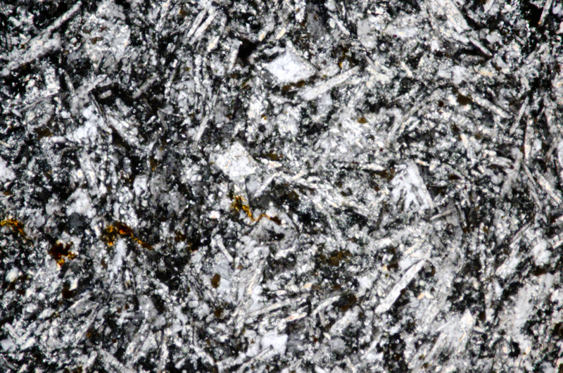
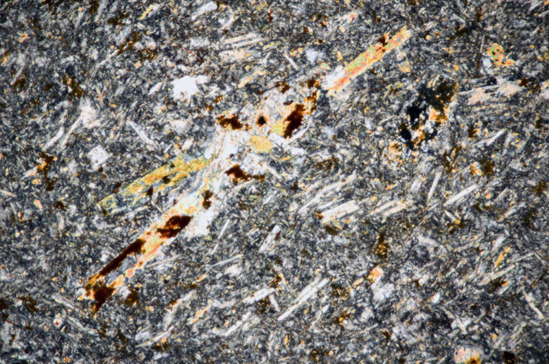
This yellow crystal is not pleochroic. Section viewed with crossed polarising filters (FoV 2.3 x 1.5 mm)
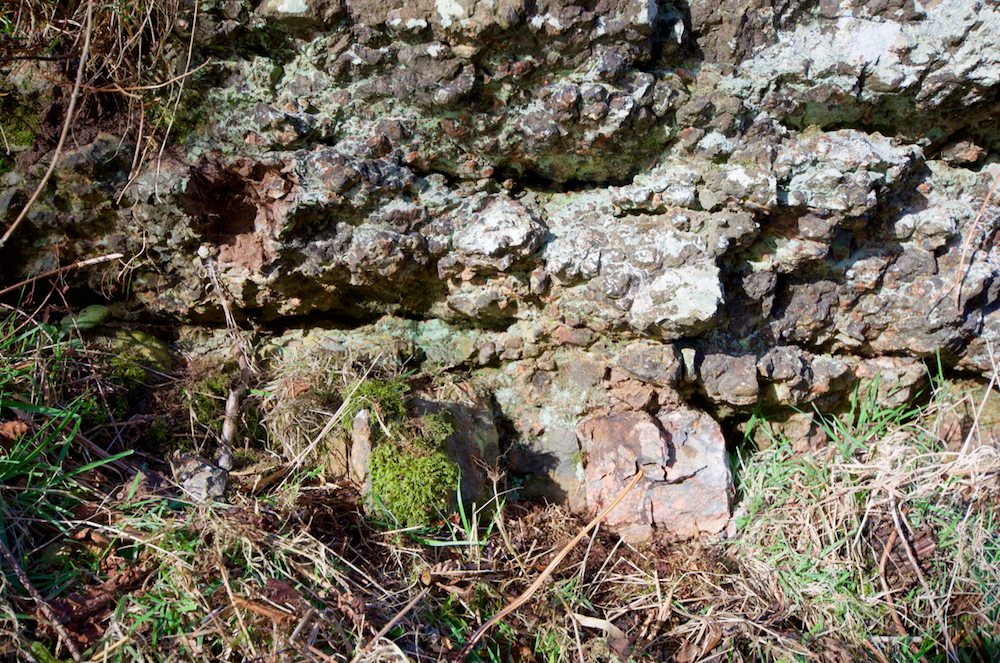
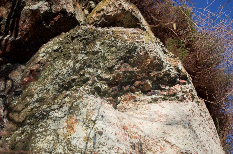
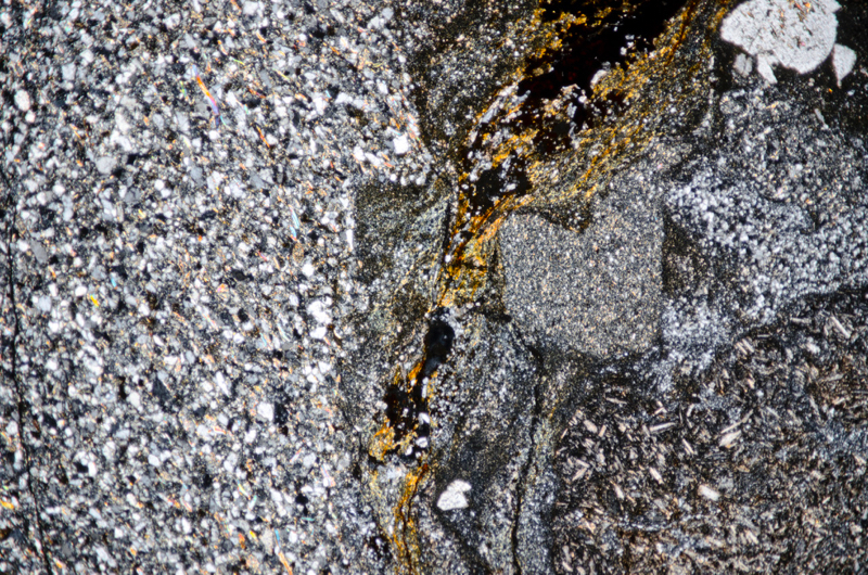
Most of the lapilli-tuff in this vicinity is stained red as a result of its high haematite content but at this location, there are small areas, 4-5cms across, in the lowest visible layer of tuff above the vegetation, that are dark grey. We took these to be areas of ash but thin section reveals they are a fine-grained, granitic rock speckled with magnetite that looks like it has intruded into the lapilli-tuff. If so, this material could well be associated with the quartz feldspar porphyry dyke that is fully exposed at the next location.
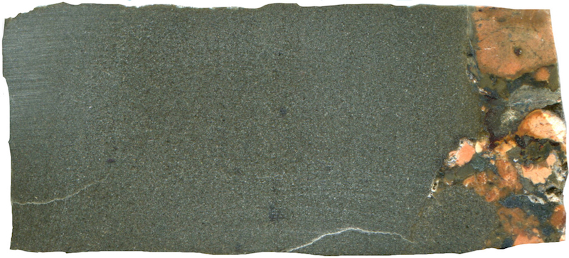
Prepared specimen in ordinary reflected light (45mm across)
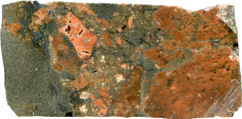
Prepared specimen in ordinary reflected light (42mm across)
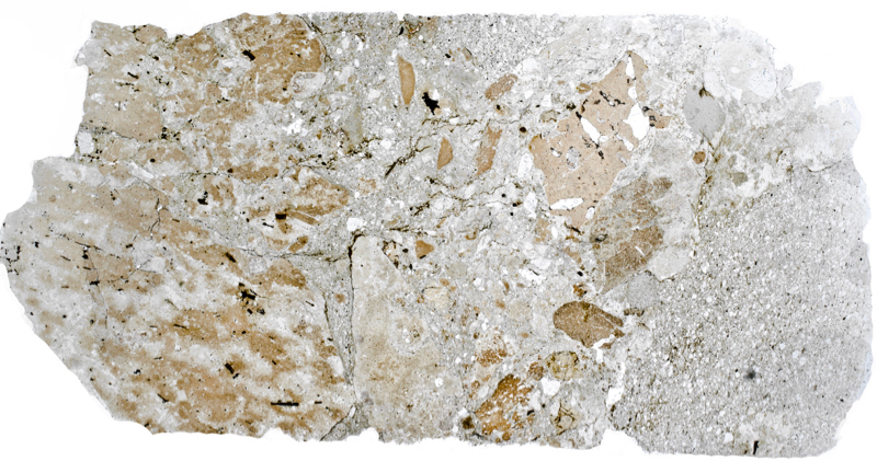
(42mm across)
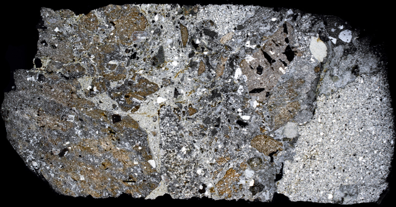
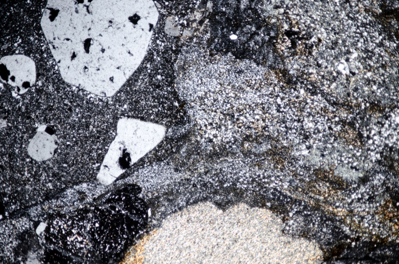
Section viewed with crossed polarising filters (FoV 4.6 x 3.0 mm)
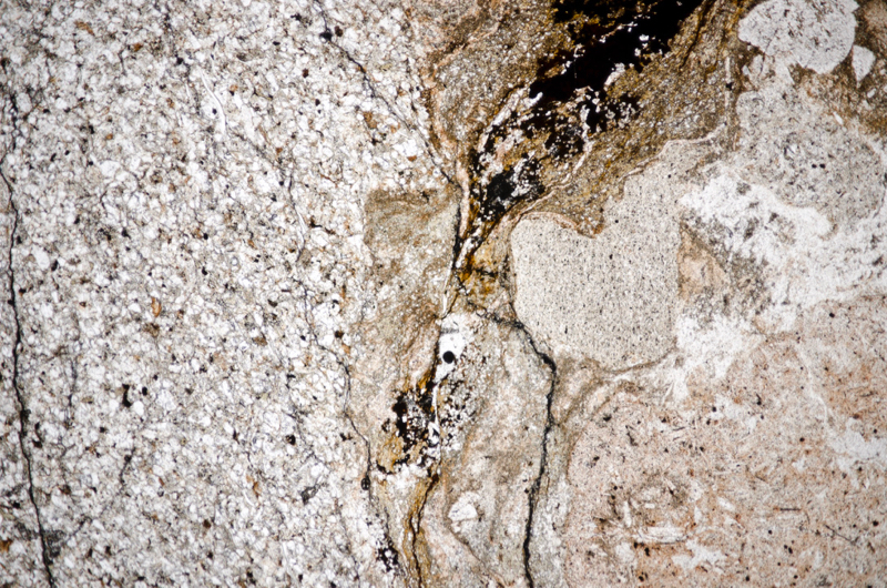
Section viewed in plane polarised light (FoV 4.6 x 3.0 mm)
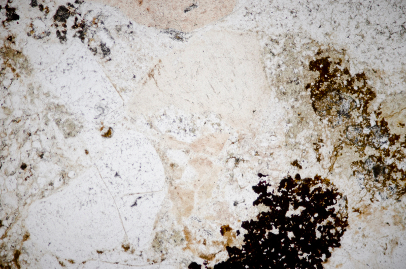
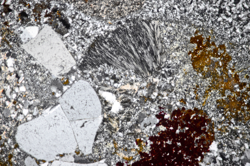
Section viewed in plane polarised light (FoV 4.6 x 3.0 mm)
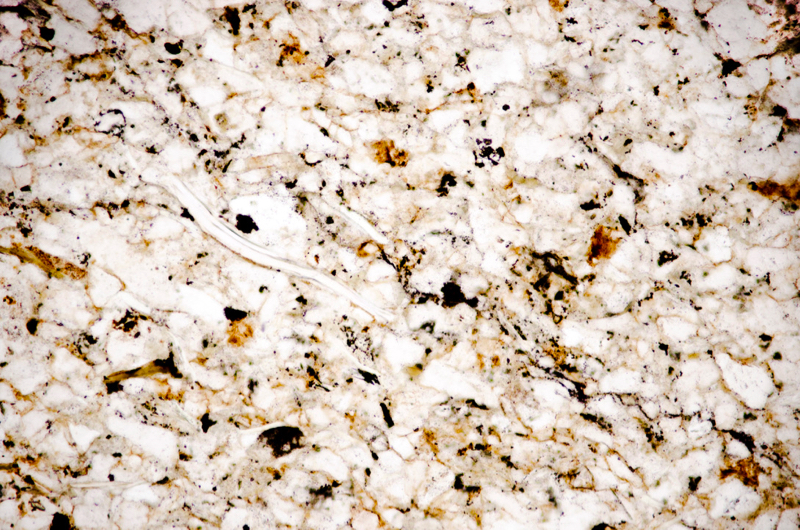
Section viewed in plane polarised light (FoV 1.2 x 0.8 mm)
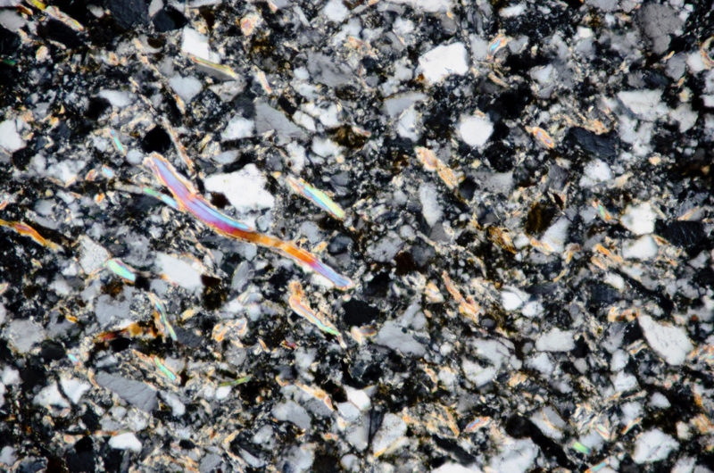

Section viewed in plane polarised light (FoV 1.2 x 0.8 mm)
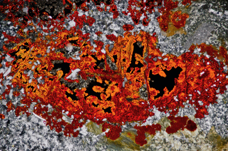
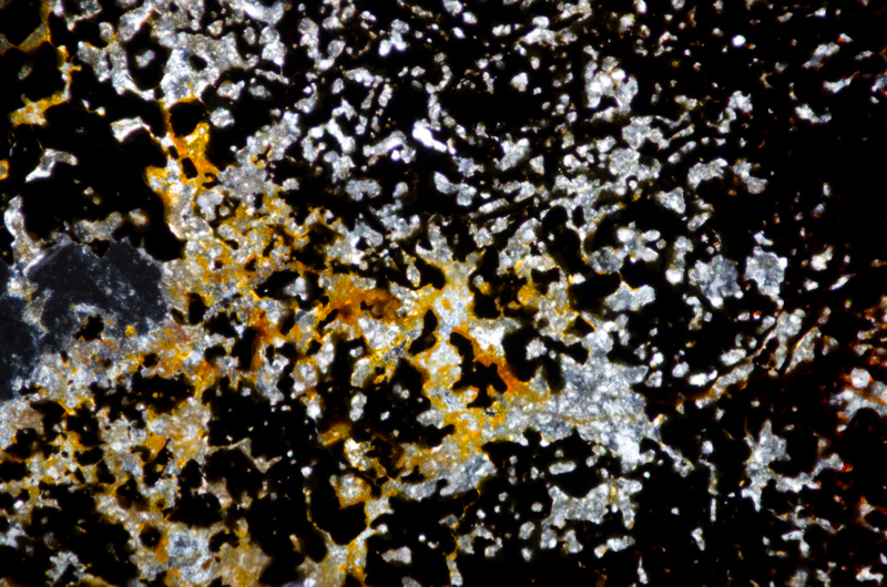
Section viewed with crossed polarising filters (FoV 4.6 x 3.0 mm)
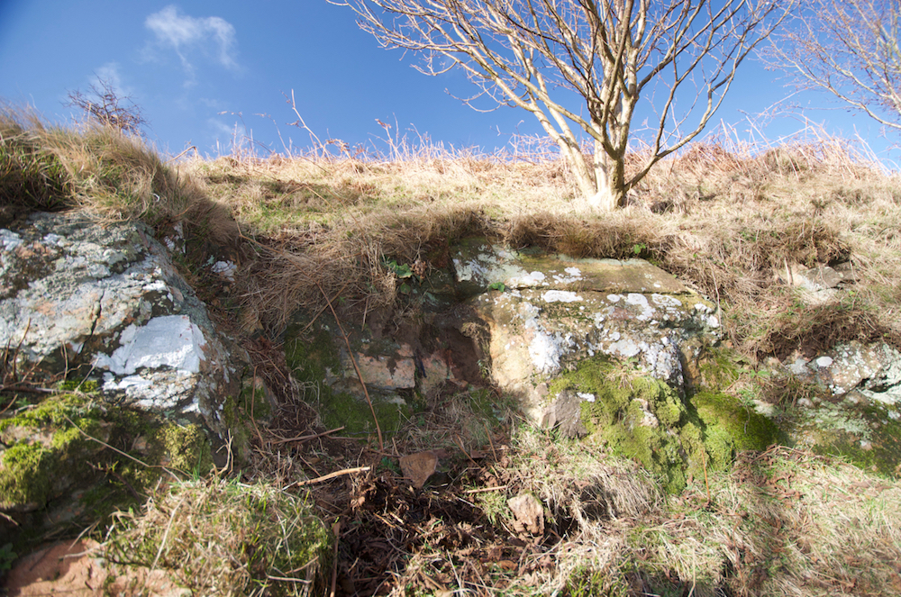
This dyke is marked on the BGS maps. It outcrops by the river and also higher up the river bank. The lower exposure is interesting in that its northern limit is clearly visible, stopping abruptly against quite coarse lapilli-tuff, and also because it can be seen underlying the same variety of tuff.
Our sample of the dyke rock is quite fine-grained with a rich orange-red colour and some beautiful flow-banding that suggests a high viscosity at the time of its intrusion into the tuff.
As expected, the quartz phenocrysts in the rock tend to be rounded and sometimes embayed and the plagioclase phenocrysts are often albitised so that polysynthetic twinning is barely visible.
There are occasional biotite phenocrysts that have been altered to white mica. Sericite is also present in the groundmass and also along with quartz, in some of the finer veinlets that criss-cross portions of the sample.
Primary iron-titanium oxides appear in the quartz and feldspar groundmass while secondary iron-titanium oxides are seen in and around altered plagioclase and biotite.

Prepared specimen in ordinary reflected light (45mm across)
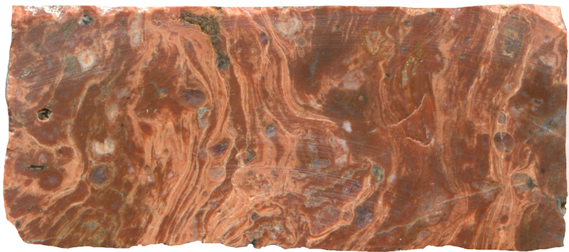
Prepared specimen in ordinary reflected light (45mm across)
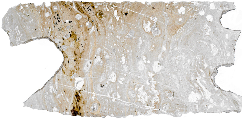
Thin from the same specimen viewed in plane polarised light (43mm across)
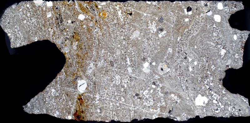
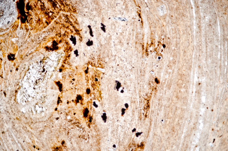
Section viewed in plane polarised light (FoV 4.6 x 3.0 mm)
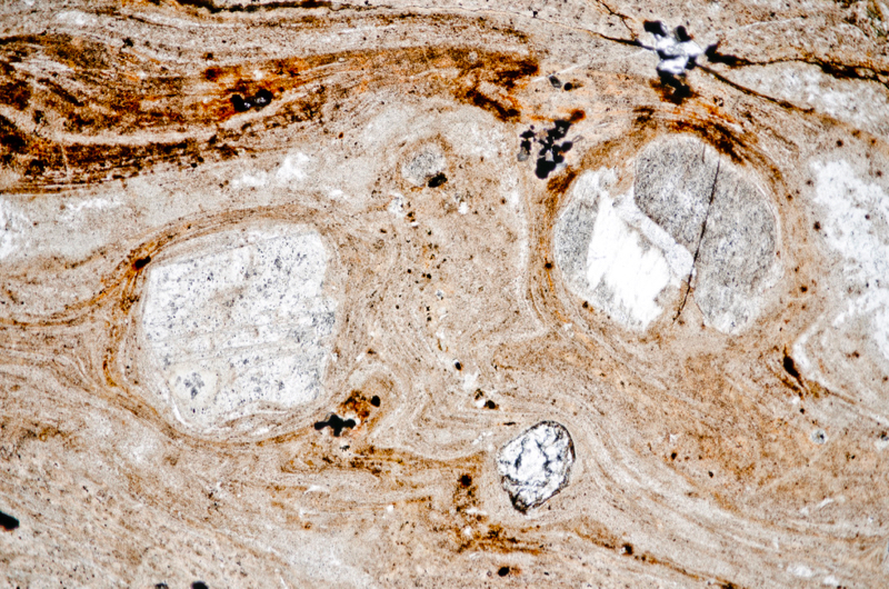
Section viewed in plane polarised light (FoV 4.6 x 3.0 mm)
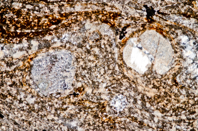
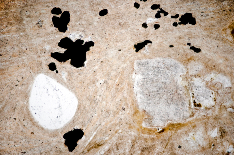
Section viewed in plane polarised light (FoV 2.3 x 1.5 mm)


The veinlets to the right are a mixture of quartz and white mica. Section viewed in plane polarised light (FoV 2.3 x 1.5 mm)
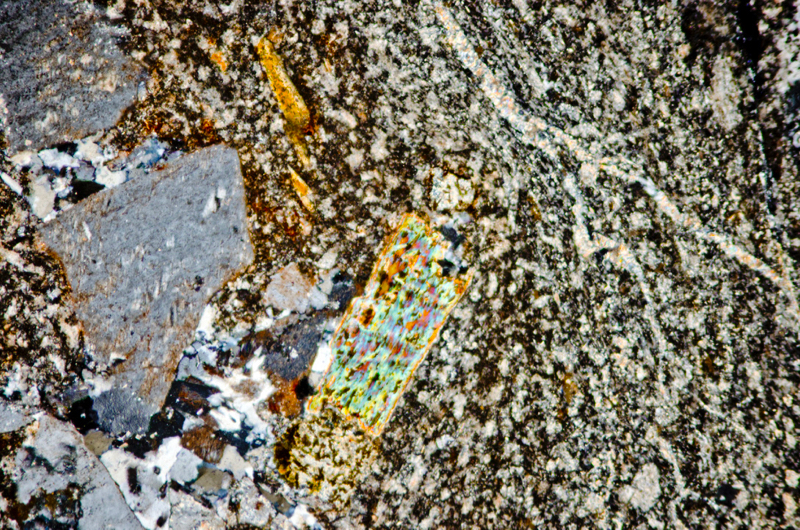
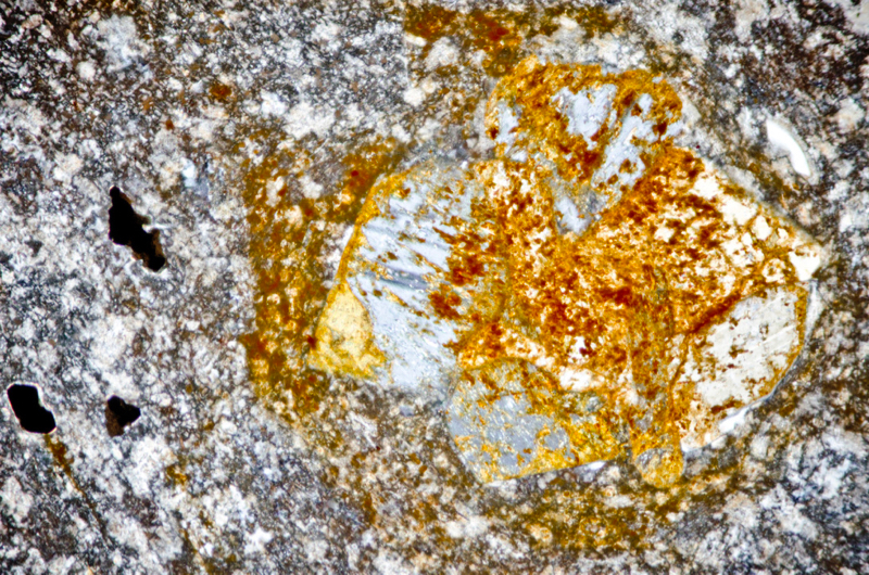
Section viewed with crossed polarising filters (FoV 2.3 x 1.5 mm)

Section viewed in plane polarised light (FoV 2.3 x 1.5 mm)
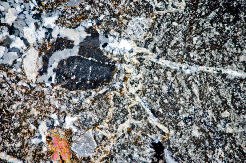
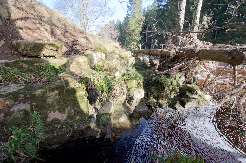

Prepared specimen in ordinary reflected light (40mm across)

Section viewed in plane polarised light (FoV 4.6 x 3.0 mm)

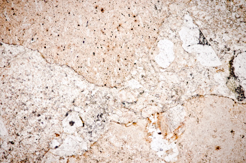
Section viewed in plane polarised light (FoV 2.3 x 1.5 mm)

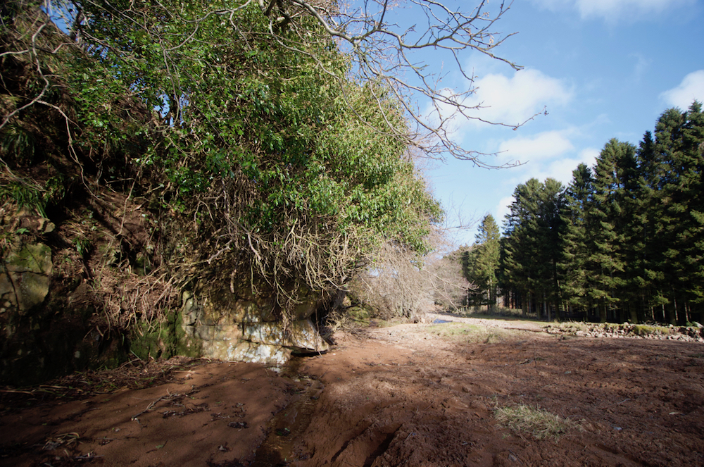
Stretch of pink, fine lapilli tuff
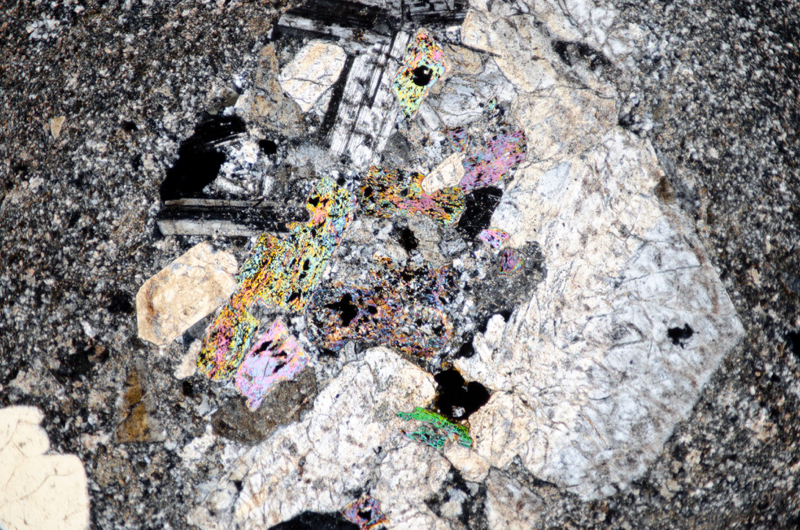
From NT993158 to NT993157, we find an expanse of pink coloured lapilli tuff that contains crystals of quartz and feldspar. There are the remains of biotite crystals too, now altered to white mica.
Specimen 1
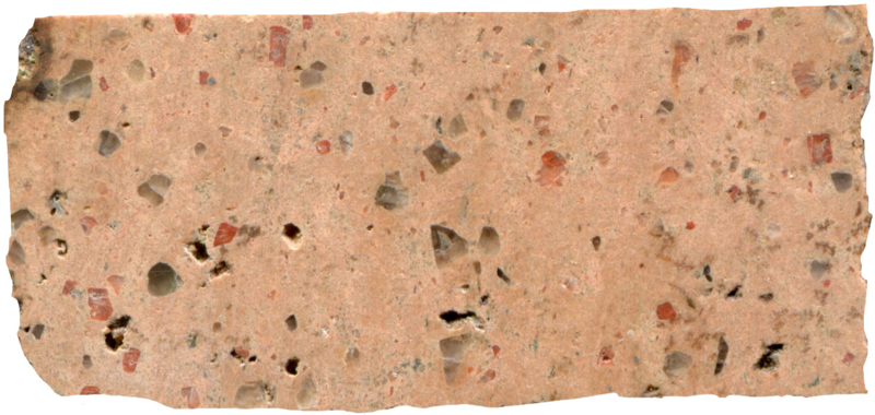
Prepared specimen in ordinary reflected light (45mm across)
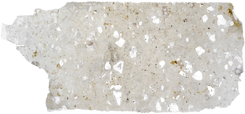
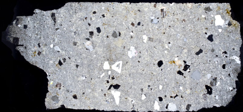
Specimen 2
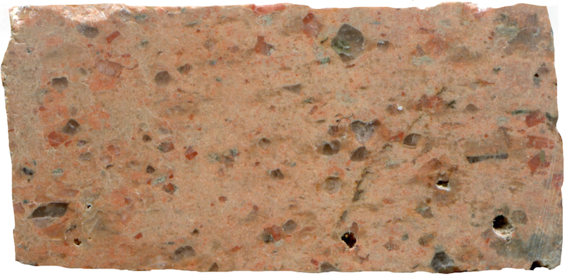
Prepared specimen in ordinary reflected light NT993158 (41mm across)
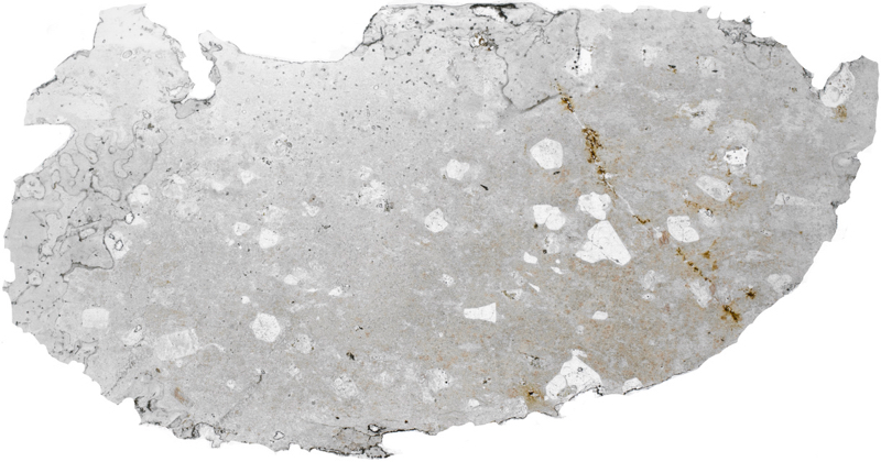
(41mm across)
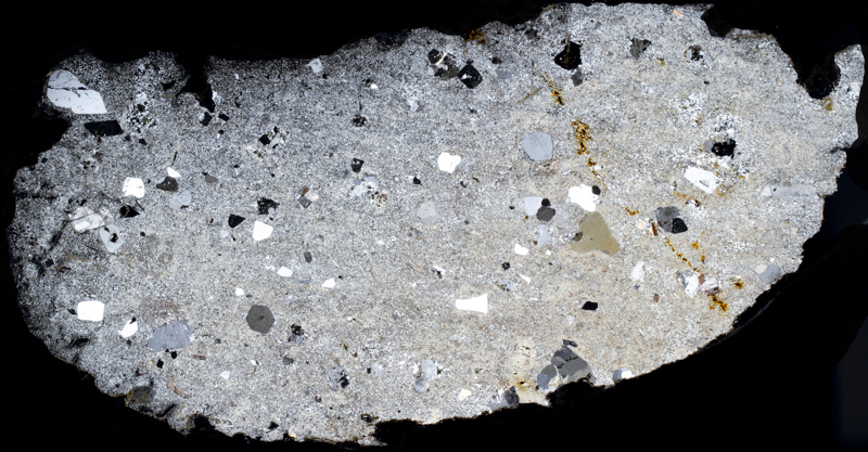
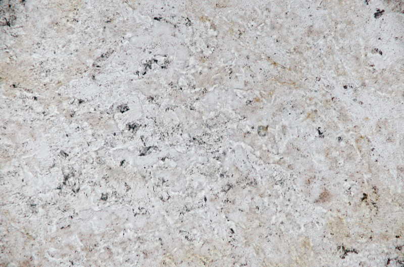
Section viewed in plane polarised light (FoV 0.5 x 0.3 mm)
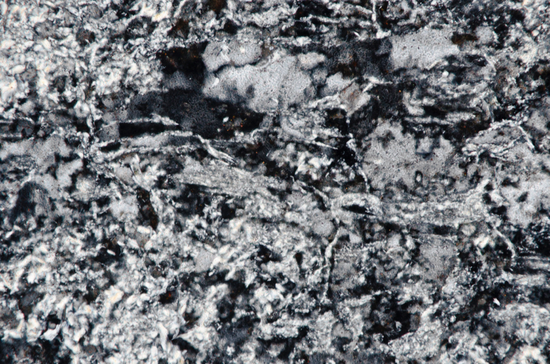

Section viewed in plane polarised light (FoV 0.5 x 0.3 mm)
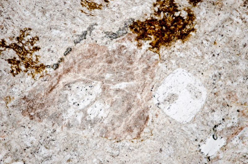
Section viewed in plane polarised light (FoV 4.6 x 3.0 mm)

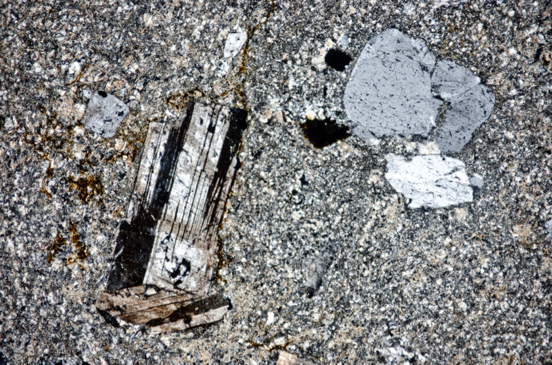
Section viewed in plane polarised light (FoV 4.6 x 3.0 mm)

Section viewed in plane polarised light (FoV 4.6 x 3.0 mm)

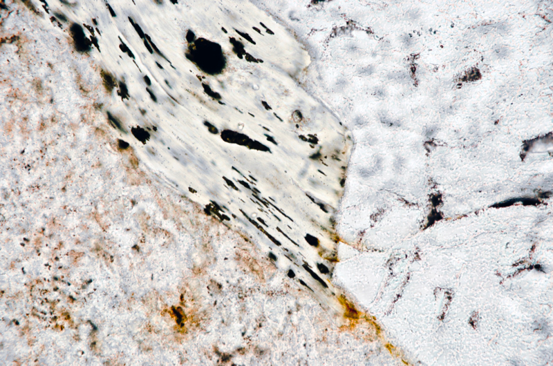
Section viewed in plane polarised light (FoV 0.5 x 0.3 mm)

Specimen 3

Prepared specimen in ordinary reflected light (40mm across)


Section viewed in plane polarised light (FoV 1.2 x 0.8 mm)
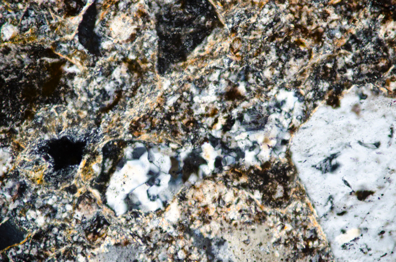
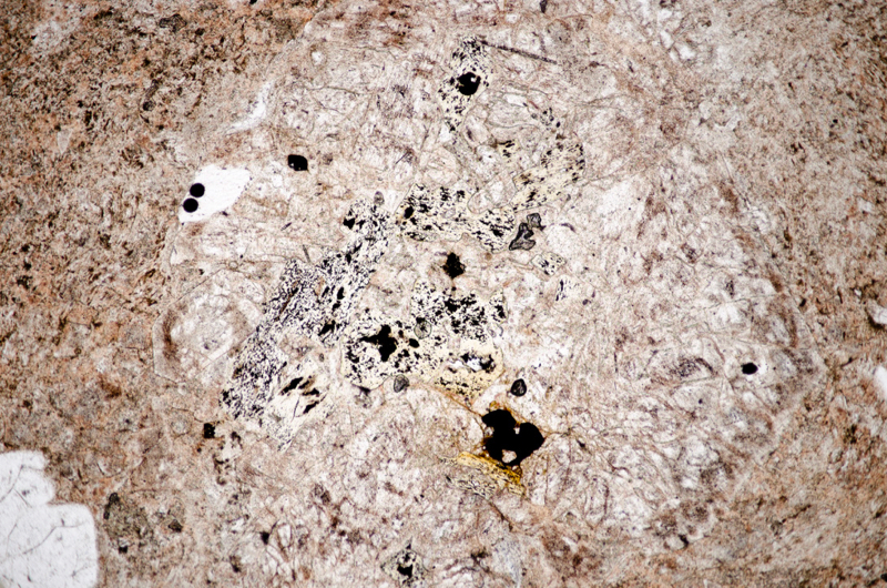
Section viewed in plane polarised light (FoV 4.6 x 3.0 mm)
Andesitic dyke or andesitic crystal-tuff?
Set back from the south wall-like extension of the lapilli tuff, but directly against it, we find a contrasting rock that is marked on BGS maps as dacite.
The groundmass contains plagioclase laths along with opaque iron-titanium oxide grains and, like the many of the samples of Cheviot andesitic rock that we have seen, its plagioclase phenocrysts are sieve-textured.
Like andesite, dacite’s main constituent is plagioclase that can occur in the groundmass and also as phenocrysts along with biotite and occasionally hornblende and/or pyroxene.
Unlike andesite, it contains more than 20% quartz, some in the groundmass and some in the form of phenocrysts that are usually corroded and rounded.
Difficulties arise for us in identifying the composition of the feldspar in a groundmass that has been heavily sericitised but even so, there doesn’t appear to be enough quartz in the rock to warrant it being classed as a dacite.
So we cautiously refer to it as andesitic – but given our problems identifying similar rock seen earlier on this excursion, and over on Brough Law, we are unsure whether to call it a dyke or a deposit of tuff. We would expect an intrusion of relatively mafic rock would be tougher than a bed of fine-grained tuff and so we would think it, and not the tuff, to be the rock that projects out into the course of the river.
Specimen 4
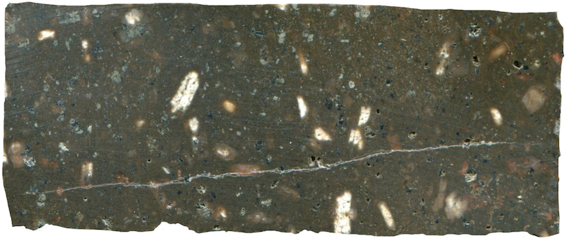
Prepared specimen in ordinary reflected light NT993158 (40mm across
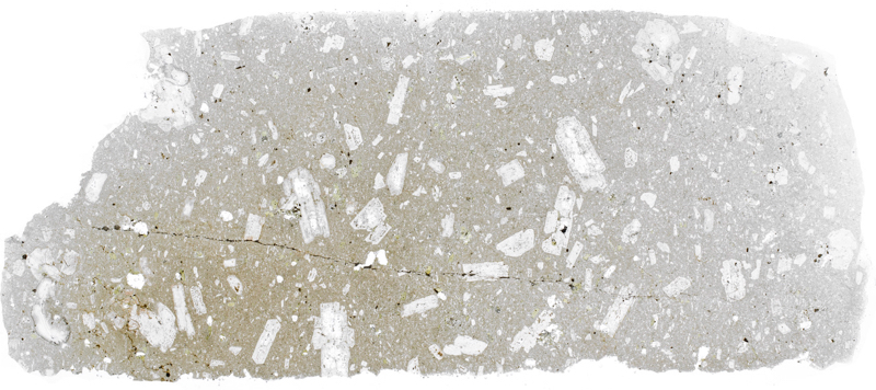
(45mm across)

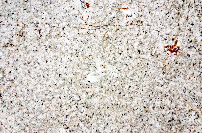
Section viewed in plane polarised light (FoV 4.6 x 3.0 mm)
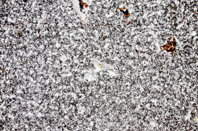
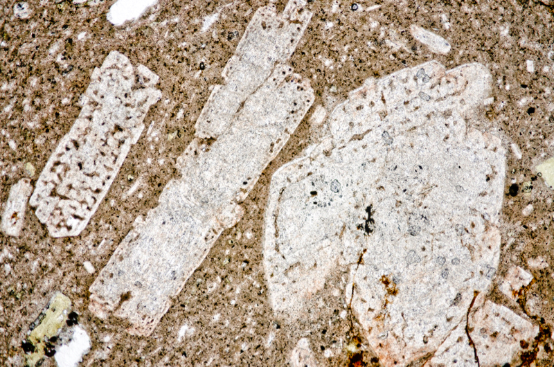
Section viewed in plane polarised light (FoV 4.6 x 3.0 mm)

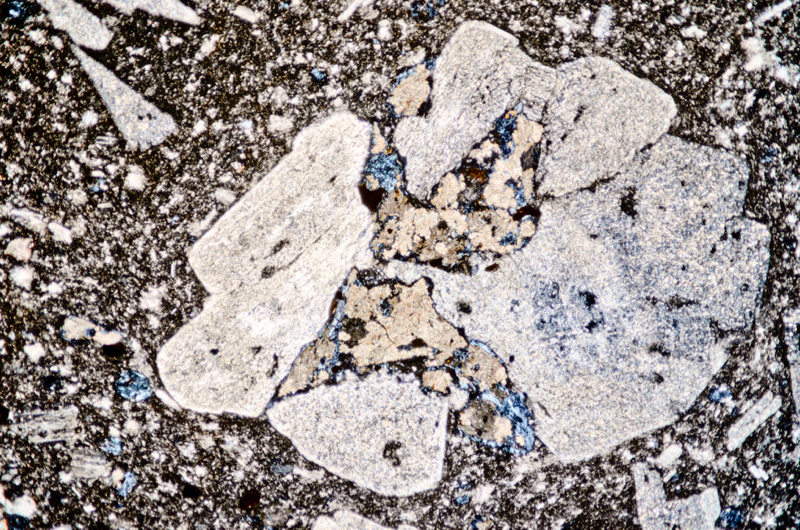
Section viewed with crossed polarising filters (FoV 4.6 x 3.0 mm)
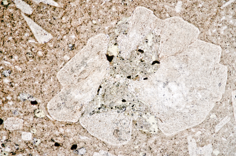
Section viewed in plane polarised light (FoV 4.6 x 3.0 mm)
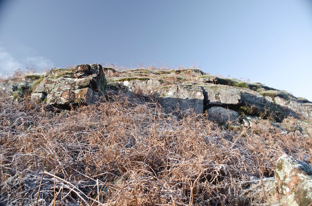
We head uphill from location 6 and investigate the numerous outcrops that appear between the 180 and 200 metre contours. All these exposures are red lapilli tuff with much larger rock fragments than those we saw in the beds by the river. As we follow the contour in a northerly direction we see that the fragments in the rock appear to be even larger and at location 7, directly above location 1, we find a clast that measures over 50 cm across. Generalising then, we find the lapilli tuff becomes more fine from north to south on this section of Hartside Hill and from this contour to that of the river.
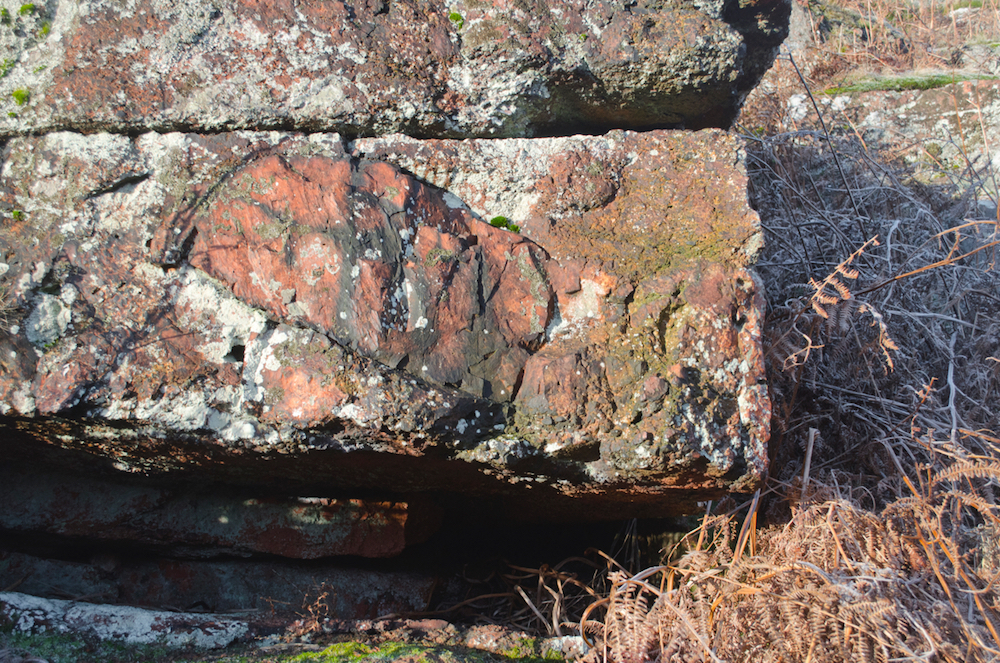
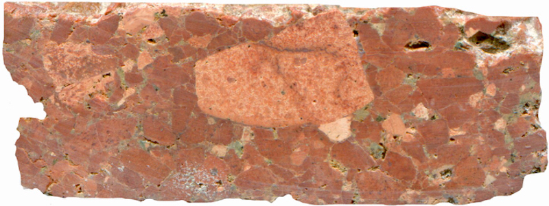
Prepared specimen in ordinary reflected light (45mm across)
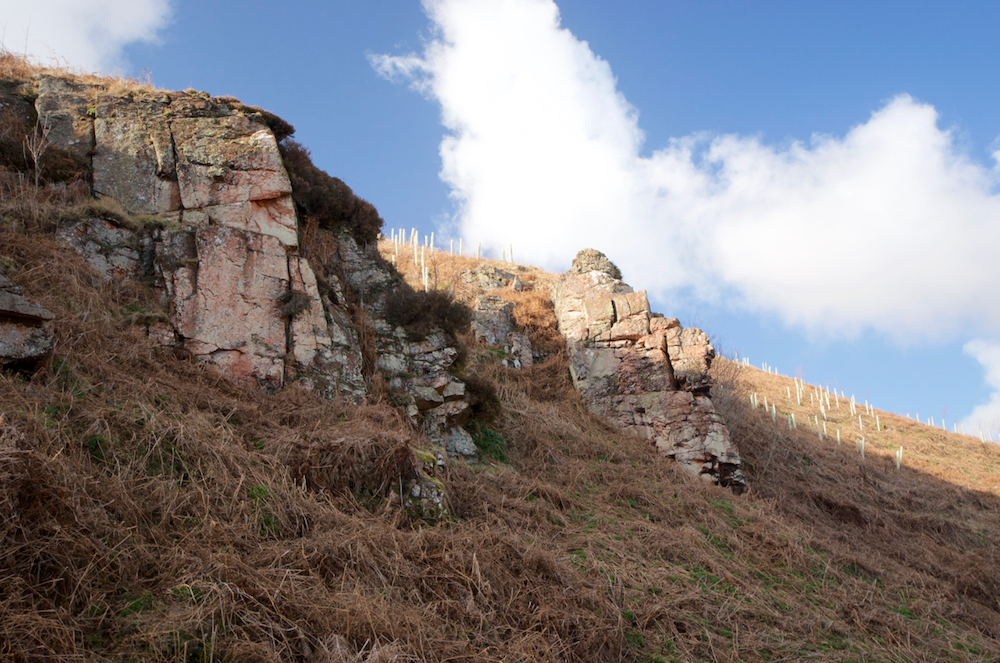
Continuing along the line of the outcrops we come across a jumble of large boulders in what resembles a small disused quarry although we think it is probably natural. Above and along from this, there are more craggy exposures of the haematite-rich lapilli tuff, one with a distinct wall-like aspect to it. We take a closer look and discover what looks like a dyke of much the same material as that lower down the slope at location 2 – leading to the possibility that both features are connected. As in the lower exposure, there is an abrupt change in rock types here with no evidence of intermixing or disruption as we might expect at the margin of an intrusion. Moreover, this rock does have some of the character of a tuff so although we entertain the idea of it being an andesite dyke, we have to remain open to more sedimentary-like possibilities for its origin.
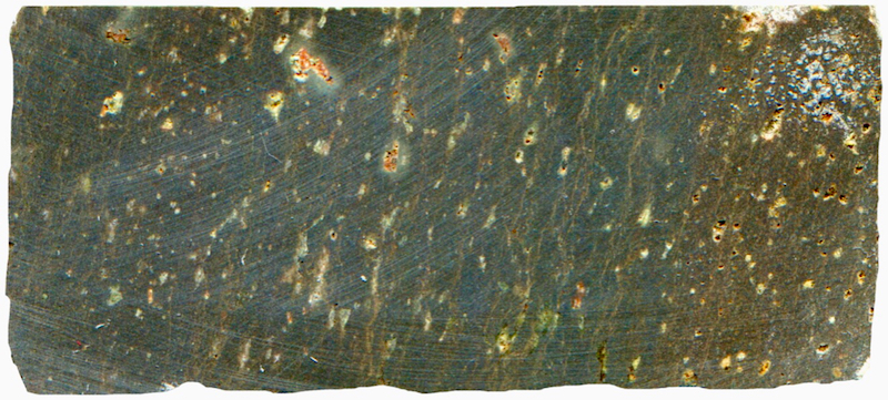
Prepared specimen in ordinary reflected light (43mm across)
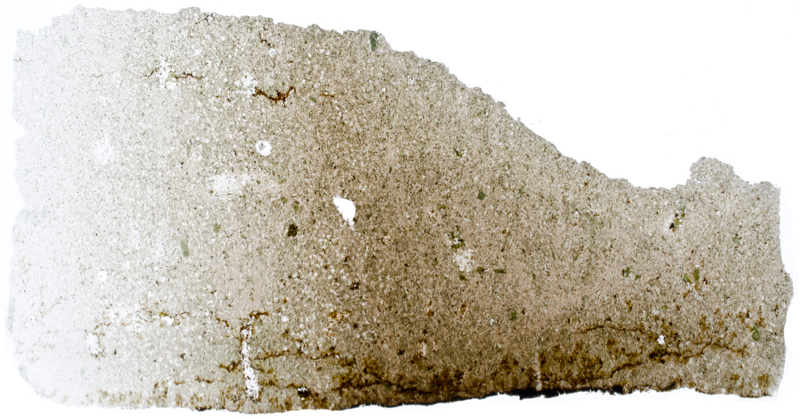
Thin section viewed in plane polarised light (27mm across)
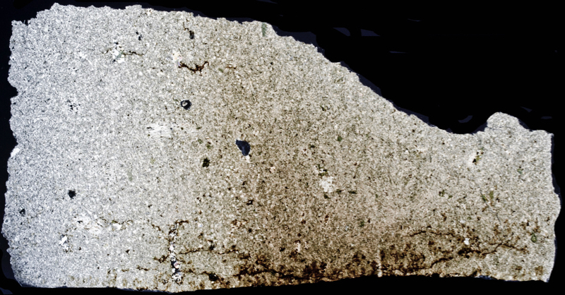
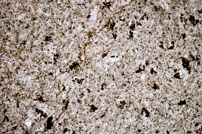
Section viewed in plane polarised light (FoV 2.3 x 1.5 mm)
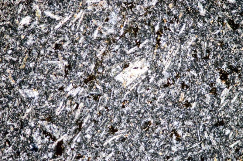
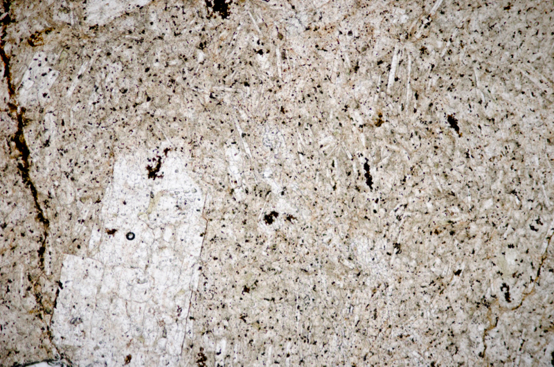
Section viewed in plane polarised light (FoV 2.3 x 1.5 mm)

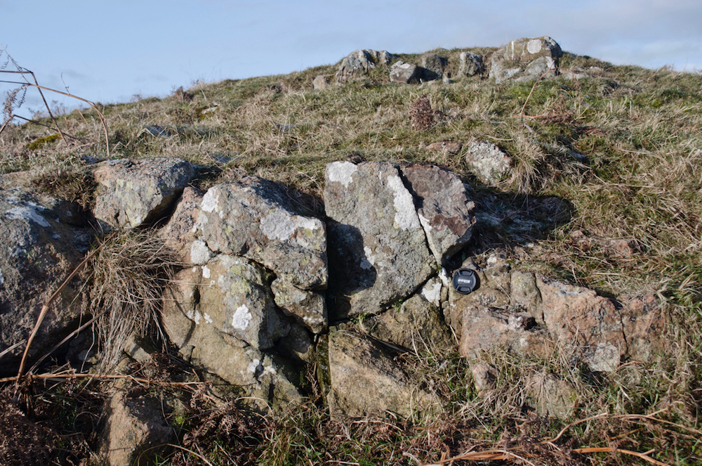
We head uphill towards the cairn that is marked on the OS map, aiming to join the footpath that will take us down the the Ingram-Linhope road. As we approach the path, the slope becomes gentle with the occasional ground-level outcrops. Even here, on the 240m contour, the rock continues to be lapilli tuff, although it is quite weathered looking. We visit the cairn and enjoy the great views over Dunmoor Hill and around to Knock Hill and Brough Law.
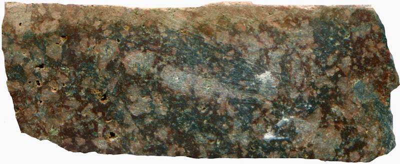
Prepared specimen in ordinary reflected light (46mm across)
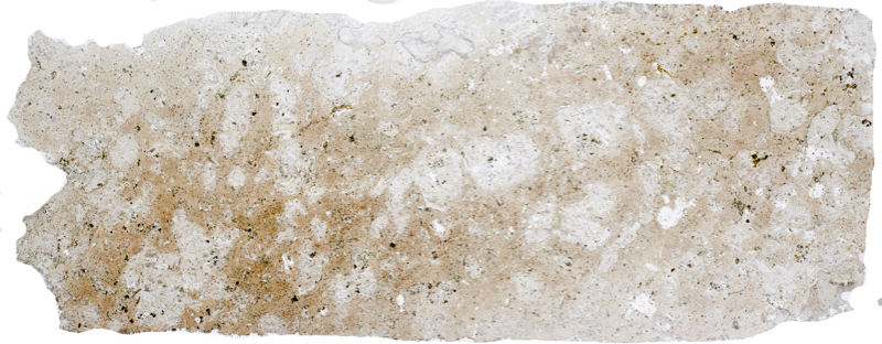
(46mm across)

We enjoy the views from the top of Hartside Hill, see there is no topping of andesite lava here, and return to the path and follow it down to the road and then on to Knock Hill.
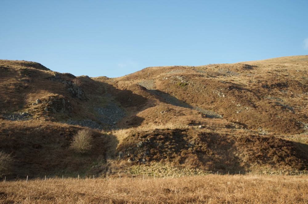
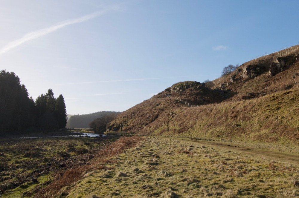
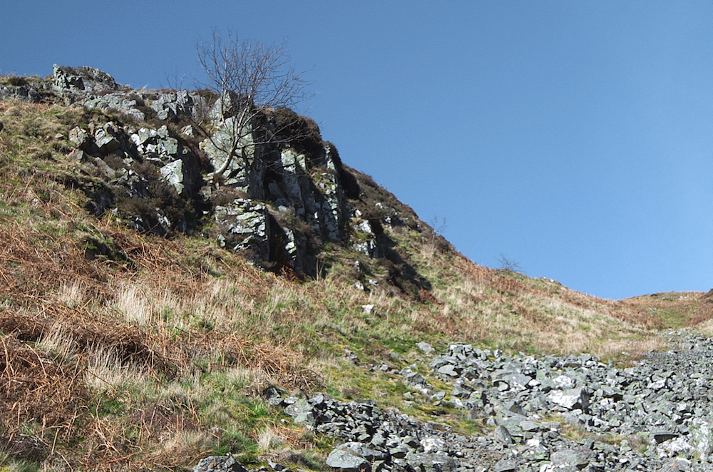
The outcropping rock to the left and right is lapilli tuff and the hump at the centre of the picture represents the course of the BGS-mapped andesite dyke.
The tuff here outcrops along each side of the channel that cuts across the base of Knock Hill has a very different appearance from that on Hartside Hill. There is no intense haematite staining, the larger fragments are smaller whilst the ‘ground’ is composed of larger crystals – usually plagioclase laths.
In the following sample of the outcropping rock, there are many quartz fragments that are quite rounded. There is also secondary, polycrystalline quartz as well as chlorite and more epidote than we have seen anywhere else in the Cheviots.
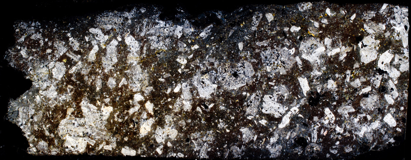
The rock is weakly bound together, easily weathering into the scree that litters this locality, and too easily crumbling into pieces in the process of making a thin section. Al-Hafdh identifies this rock as ignimbrite, the product of a pyroclastic surge
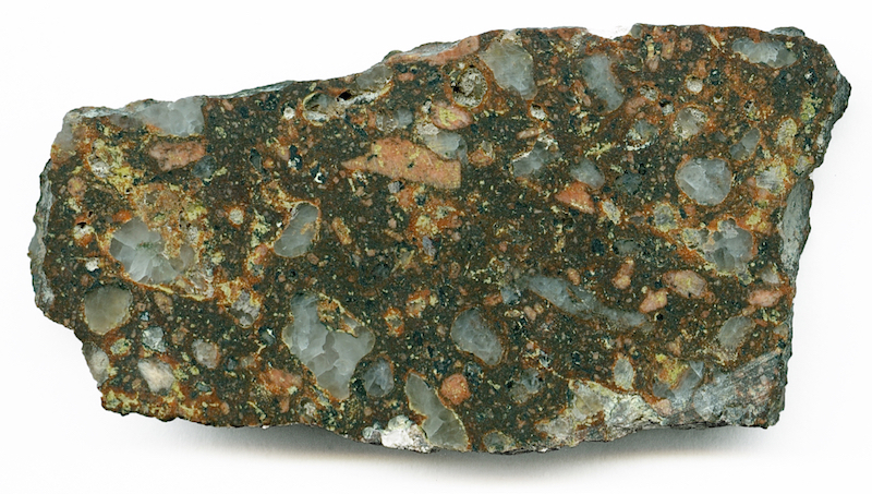
Prepared specimen in ordinary reflected light (45mm across)
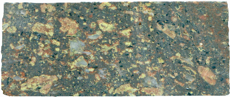
Prepared specimen viewed in ordinary reflected light (45mm across)
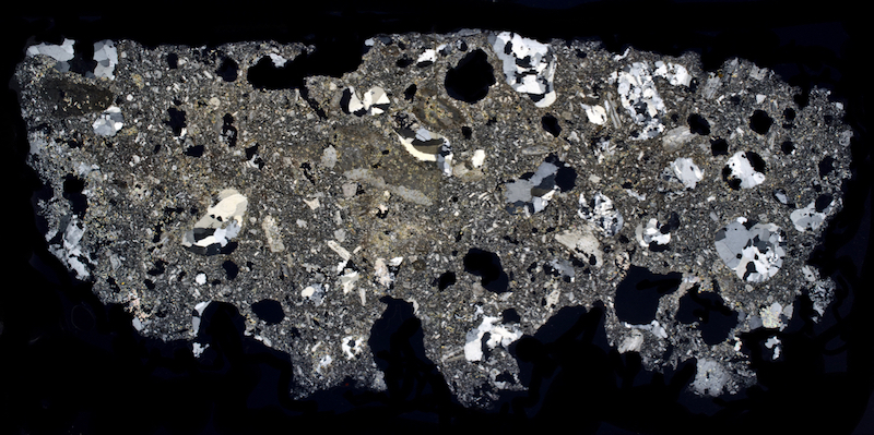
Thin section viewed with crossed polarising filters (43mm across)
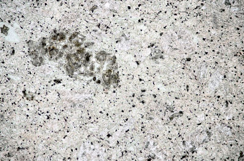
Section viewed in plane polarised light (FoV 2.3 x 1.5 mm)

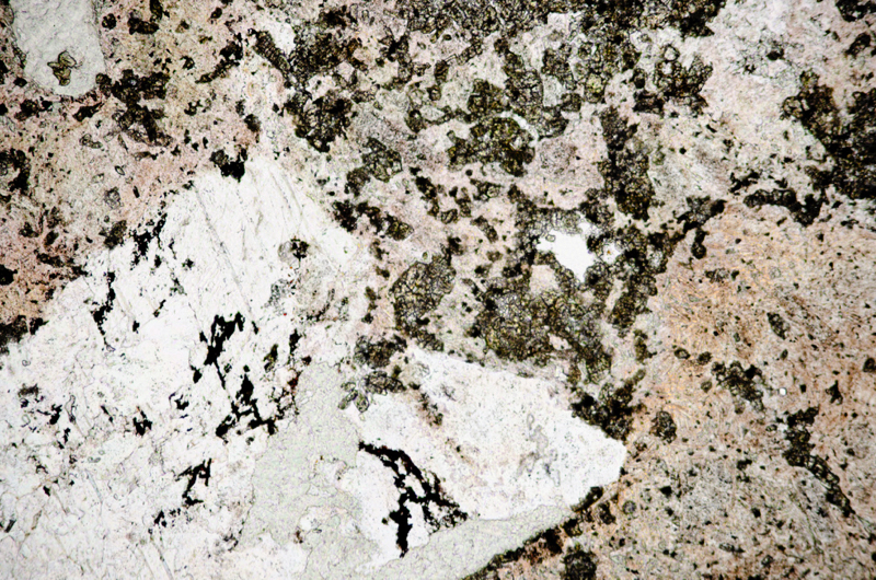
Section viewed in plane polarised light (FoV 2.3 x 1.5 mm)
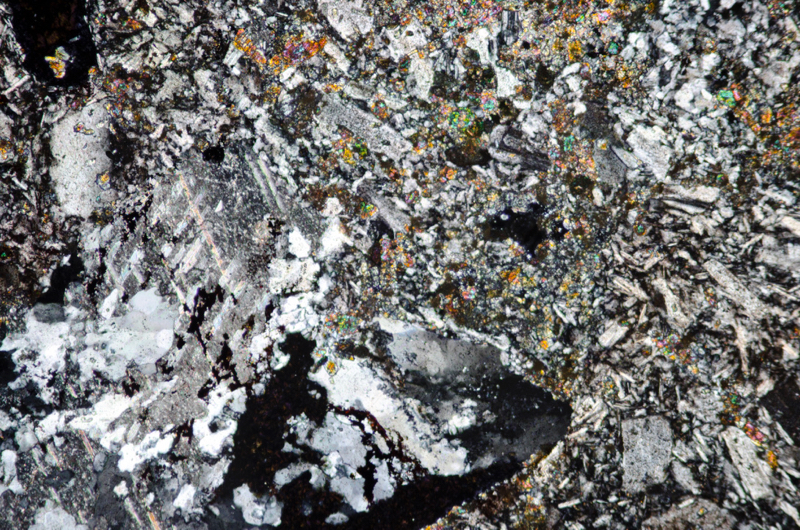
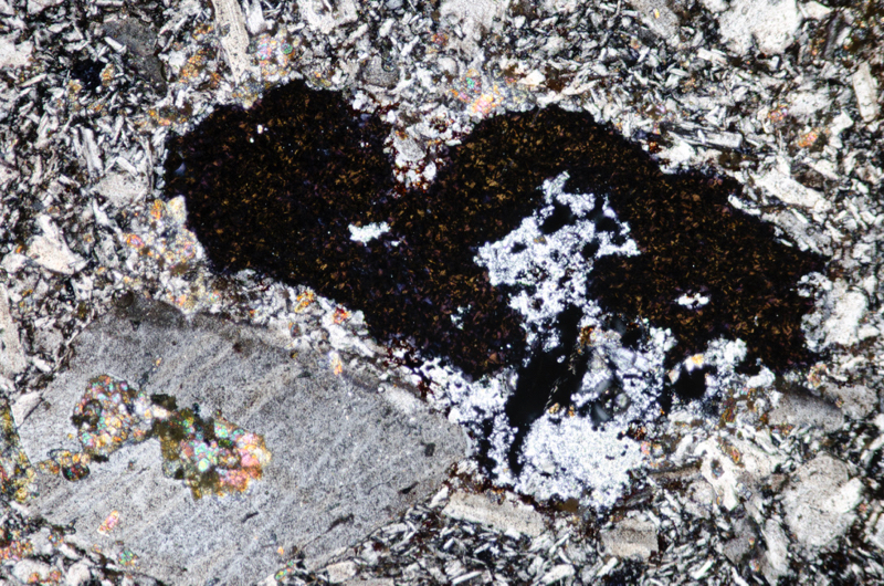
Section viewed with crossed polarising filters (FoV 2.3 x 1.5 mm)
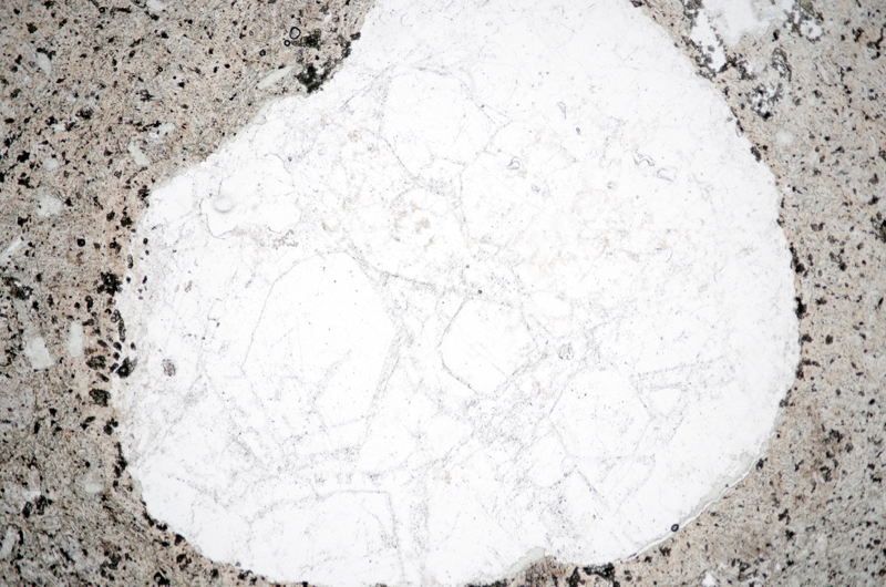
Section viewed in plane polarised light (FoV 4.6 x 3.0 mm)
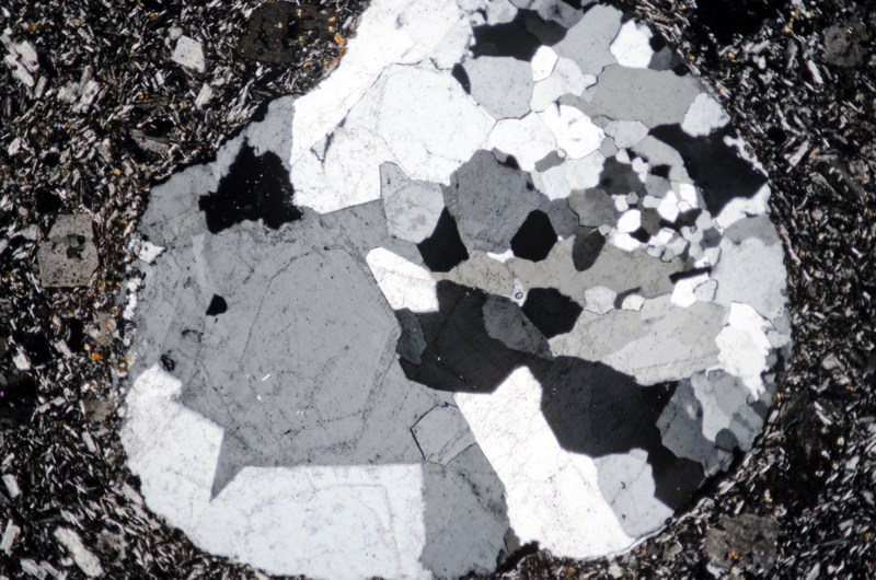
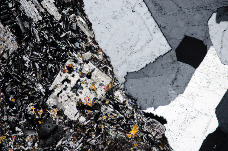
Section viewed in plane polarised light (FoV 2.3 x 1.5 mm)
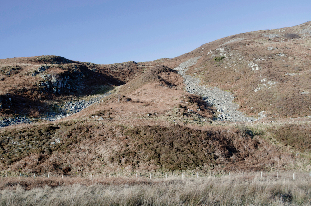
The sample of the BGS-mapped andesite dyke that is described below is taken from the higher of the two humps in the centre mid-ground of the picture.
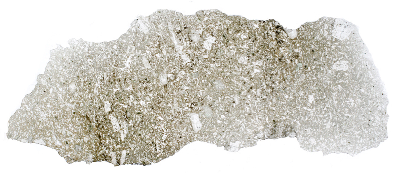
In the middle of the channel that cuts across the base of Knock Hill, an area visible from the road, there is a hump that marks the presence of the andesite dyke shown on BGS maps running from Knock Hill across the Breamish and over to the centre of Brough Law. Some of the exposures on this hump are lapilli tuff, but others are a more mafic and dense andesitic rock that has plagioclase as its dominant constituent. Thin sections reveal a profusion of plagioclase phenocrysts, some relatively large and mostly sieve-textured, set amongst plagioclase laths embedded in a very fine-grained, presumably plagioclase-rich matrix. This arrangement is in contrast to the andesitic rock described earlier at locations 2 and 8 that lacked the matrix and is more supportive of it being a dyke.
The whole rock has been very altered so that the plagioclase has been almost wholly albitised and carbonates occur in large and small patches throughout. We would have expected to find biotite and pyroxene in a fresh sample of the rock, but it appears these, if they were both originally present, have been replaced by chlorite and iron-titanium oxides. However, one area of alteration in our sample, probably once occupied by biotite, is particularly interesting as it presents, what looks like, rutile which, despite the high levels of titanium in Cheviot biotites, has been difficult for us to find. Thin needles of the mineral exhibit a dark grey to orange-red pleochroism while adjacent patches of non-pleochroic haematite retain a uniform colour.
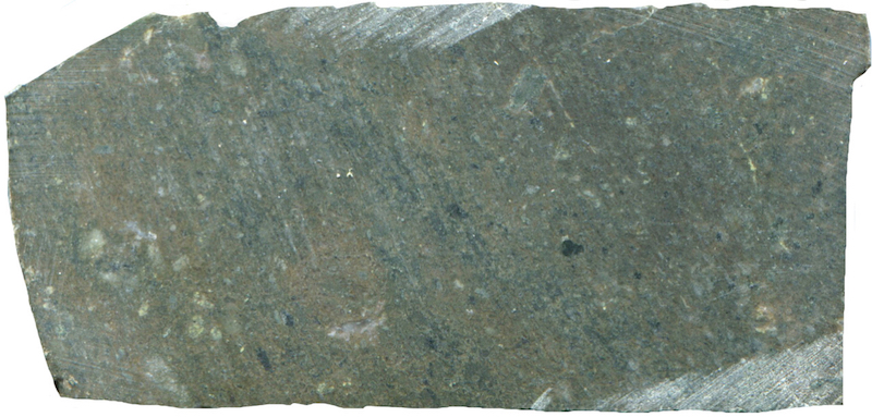
Prepared specimen in ordinary reflected light NT992165 (41mm across)
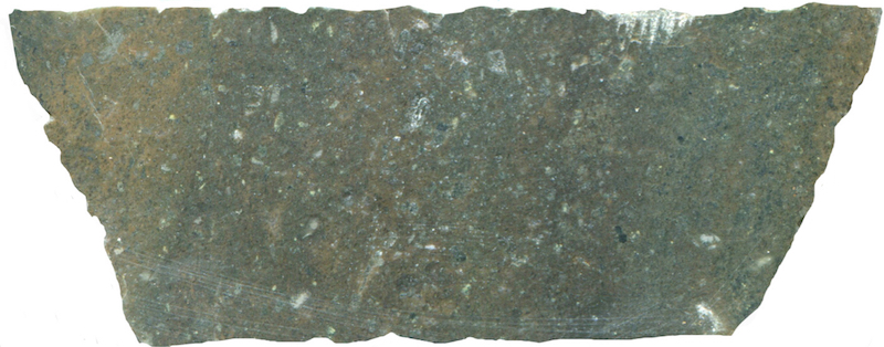
Prepared specimen in ordinary reflected light (55mm across)

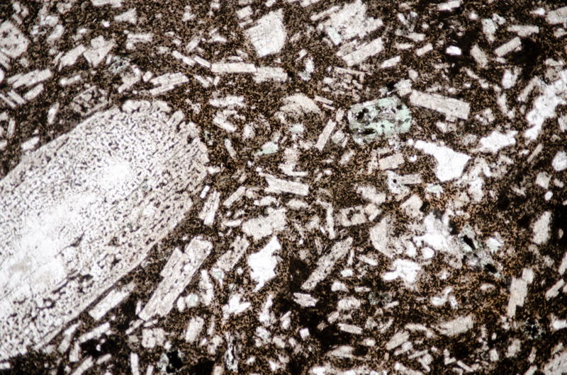
Section viewed in plane polarised light (FoV 4.6 x 3.0 mm)
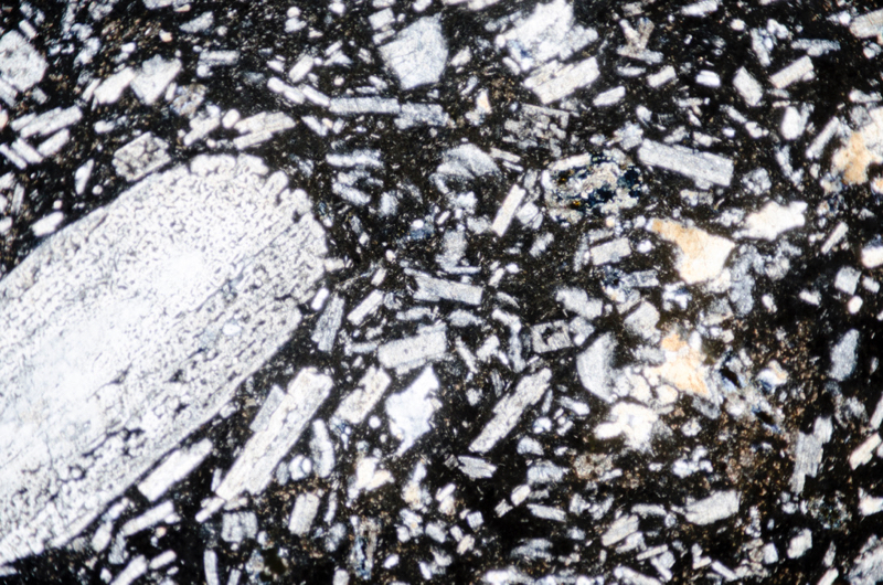
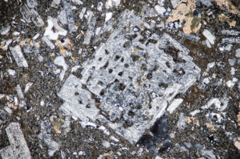
Section viewed with crossed polarising filters (FoV 2.3 x 1.5 mm)
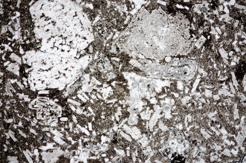
Section viewed in plane polarised light (FoV 4.6 x 3.0 mm)
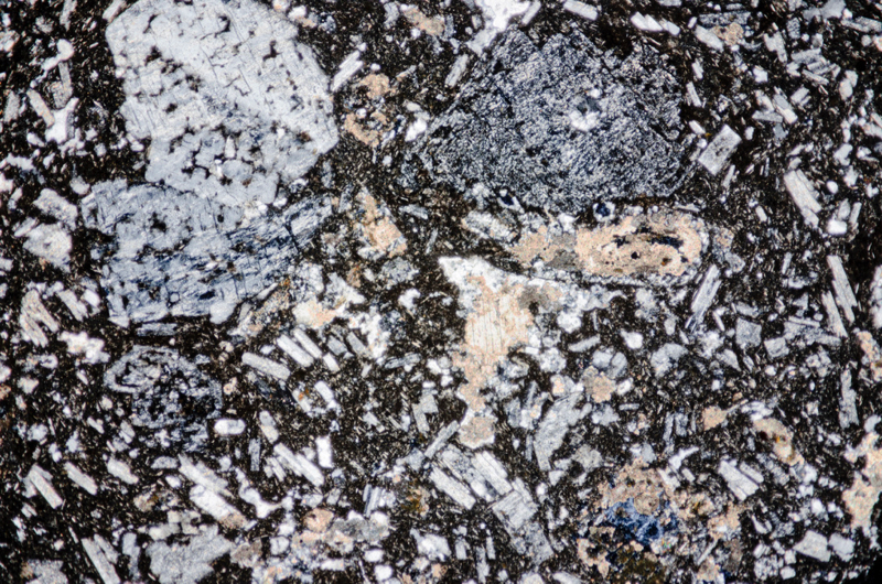
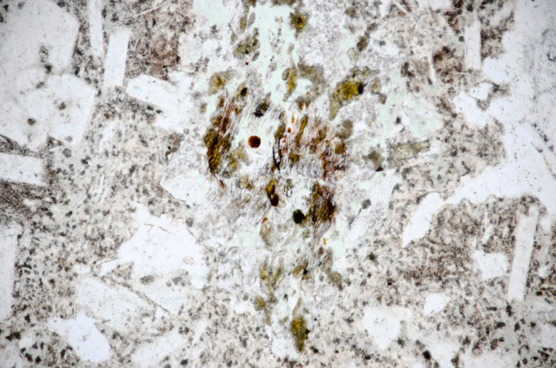
Section viewed in plane piolarised light (FoV 1.2 x 0.8 mm)

Section viewed in plane polarised light (FoV 0.5 x 0.3 mm)

Return to car
We briefly explore further into the channel that extends beyond the andesite dyke across Knock Hill and find much the same type of pyroclastic rock that we found at location 10. Turning up towards the summit we find, along with the lapilli tuff, increasing numbers of andesite cobbles and finally small ground-level exposures of the lava that covered the tuff.
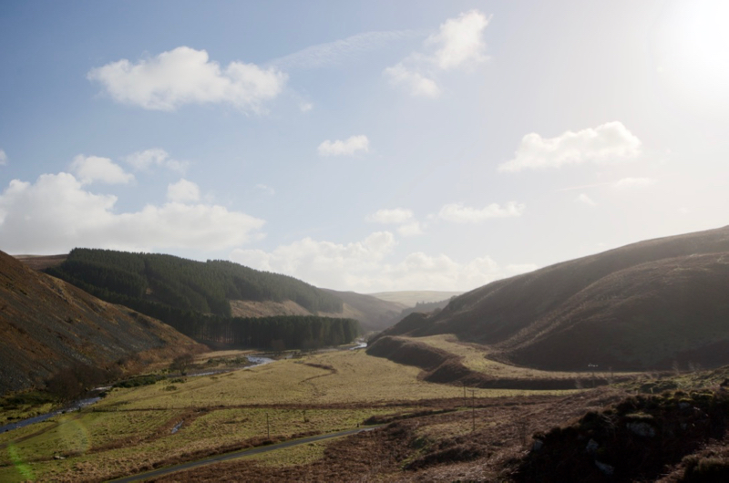
There are excellent views over to Dunmoor Hill from here. On our way back down to the road for our return to the car, we enjoy the view over to Hartside Hill with its clearly defined fluvial terraces that were left high and dry as the Breamish cut successively lower river channels and floodplains.
References
British Geological Survey Online geology map http://mapapps.bgs.ac.uk/geologyofbritain/home.html